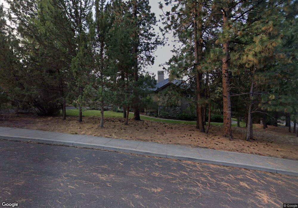
1983 NW Keenan Ct Bend, OR 97703
Awbrey Butte NeighborhoodEstimated Value: $1,322,627 - $1,631,000
3
Beds
3
Baths
2,678
Sq Ft
$561/Sq Ft
Est. Value
About This Home
This home is located at 1983 NW Keenan Ct, Bend, OR 97703 and is currently estimated at $1,503,657, approximately $561 per square foot. 1983 NW Keenan Ct is a home located in Deschutes County with nearby schools including North Star Elementary School, Pacific Crest Middle School, and Summit High School.
Ownership History
Date
Name
Owned For
Owner Type
Purchase Details
Closed on
Oct 1, 2008
Sold by
Zavala Kenneth A and Zavala Diane J
Bought by
Zavala Kenneth A and Zavala Diane J
Current Estimated Value
Purchase Details
Closed on
Nov 15, 2004
Sold by
Sturmark John F and Sturmark Kelly
Bought by
Zavala Kenneth A and Zavala Diane J
Home Financials for this Owner
Home Financials are based on the most recent Mortgage that was taken out on this home.
Original Mortgage
$150,000
Outstanding Balance
$73,939
Interest Rate
5.7%
Mortgage Type
Unknown
Estimated Equity
$1,429,718
Create a Home Valuation Report for This Property
The Home Valuation Report is an in-depth analysis detailing your home's value as well as a comparison with similar homes in the area
Home Values in the Area
Average Home Value in this Area
Purchase History
| Date | Buyer | Sale Price | Title Company |
|---|---|---|---|
| Zavala Kenneth A | -- | None Available | |
| Zavala Kenneth A | $599,500 | Amerititle |
Source: Public Records
Mortgage History
| Date | Status | Borrower | Loan Amount |
|---|---|---|---|
| Open | Zavala Kenneth A | $150,000 |
Source: Public Records
Tax History Compared to Growth
Tax History
| Year | Tax Paid | Tax Assessment Tax Assessment Total Assessment is a certain percentage of the fair market value that is determined by local assessors to be the total taxable value of land and additions on the property. | Land | Improvement |
|---|---|---|---|---|
| 2025 | $10,752 | $636,360 | -- | -- |
| 2024 | $10,345 | $617,830 | -- | -- |
| 2023 | $9,590 | $599,840 | $0 | $0 |
| 2022 | $8,947 | $565,410 | $0 | $0 |
| 2021 | $8,960 | $548,950 | $0 | $0 |
| 2020 | $8,501 | $548,950 | $0 | $0 |
| 2019 | $8,264 | $532,970 | $0 | $0 |
| 2018 | $8,031 | $517,450 | $0 | $0 |
| 2017 | $7,795 | $502,380 | $0 | $0 |
| 2016 | $7,434 | $487,750 | $0 | $0 |
| 2015 | $7,228 | $473,550 | $0 | $0 |
| 2014 | $7,015 | $459,760 | $0 | $0 |
Source: Public Records
Map
Nearby Homes
- 2803 NW Starview Dr
- 2889 NW Starview Dr
- 2521 NW Coe Ct
- 2806 NW Nightfall Cir
- 2861 NW Nightfall Cir
- 2618 NW Fawn Run Ln
- 1767 NW Okane Ct
- 2341 NW Debron Ln
- 2425 NW Tower Rock Rd
- 2616 NW Gill Ct
- 2380 NW Debron Ln
- 3155 NW Metke Place
- 1986 NW Rimrock Rd
- 3225 NW Metke Place
- 2729 NW Havre Ct
- 1690 NW City View Dr
- 2101 NW Cascade View Dr
- 3282 NW Starview Dr
- 3700 NW Perspective Dr
- 1979 NW Vicksburg Ave
- 0 NW Keenan Ct
- 1972 NW Keenan Ct
- 2690 NW Nightfall Cir
- 2011 NW Twilight Dr
- 1960 NW Keenan Ct
- 1955 NW Keenan Ct
- 2582 NW Obrien Ct
- 2705 NW Nightfall Cir
- 2621 NW Foley Ct
- 2023 NW Twilight Dr
- 2036 NW Twilight Dr
- 2594 NW Obrien Ct
- 2624 NW Sample Ct
- 2739 NW Starview Dr
- 2713 NW Nightfall Cir
- 2725 NW Starview Dr
- 2607 NW Foley Ct
- 0 NW Dwight Ct
- 2630 NW Sample Ct
- 2560 NW Obrien Ct