19847 State Line Rd Moss Point, MS 39562
Estimated Value: $482,000 - $584,354
--
Bed
--
Bath
3,331
Sq Ft
$161/Sq Ft
Est. Value
About This Home
This home is located at 19847 State Line Rd, Moss Point, MS 39562 and is currently estimated at $537,785, approximately $161 per square foot. 19847 State Line Rd is a home with nearby schools including East Central Lower Elementary School, East Central Upper Elementary School, and East Central Middle School.
Ownership History
Date
Name
Owned For
Owner Type
Purchase Details
Closed on
May 2, 2023
Sold by
Davidson Joseph Eugene and Davidson Tina C
Bought by
Davidson Delaney Allie
Current Estimated Value
Purchase Details
Closed on
Jul 18, 2016
Sold by
Alr Partners Lp
Bought by
Davidson Joseph Eugene and Davidson Tina C
Purchase Details
Closed on
Feb 1, 2011
Sold by
Strickler Mary Ann and Grice Rebecca Irby
Bought by
Davidson Joseph Eugene and Davidson Tina C
Create a Home Valuation Report for This Property
The Home Valuation Report is an in-depth analysis detailing your home's value as well as a comparison with similar homes in the area
Home Values in the Area
Average Home Value in this Area
Purchase History
| Date | Buyer | Sale Price | Title Company |
|---|---|---|---|
| Davidson Delaney Allie | -- | None Listed On Document | |
| Davidson Delaney Allie | -- | None Listed On Document | |
| Davidson Joseph Eugene | -- | None Available | |
| Davidson Joseph Eugene | -- | -- |
Source: Public Records
Tax History Compared to Growth
Tax History
| Year | Tax Paid | Tax Assessment Tax Assessment Total Assessment is a certain percentage of the fair market value that is determined by local assessors to be the total taxable value of land and additions on the property. | Land | Improvement |
|---|---|---|---|---|
| 2024 | $3,869 | $34,657 | $3,669 | $30,988 |
| 2023 | $3,869 | $34,978 | $3,990 | $30,988 |
| 2022 | $730 | $6,177 | $3,732 | $2,445 |
| 2021 | $828 | $7,021 | $3,877 | $3,144 |
| 2020 | $848 | $6,943 | $4,034 | $2,909 |
| 2019 | $910 | $7,528 | $4,619 | $2,909 |
| 2018 | $599 | $4,824 | $4,824 | $0 |
| 2017 | $586 | $4,643 | $4,643 | $0 |
| 2016 | $167 | $1,370 | $1,370 | $0 |
| 2015 | $152 | $8,290 | $8,290 | $0 |
| 2014 | $123 | $1,016 | $1,016 | $0 |
| 2013 | $111 | $944 | $944 | $0 |
Source: Public Records
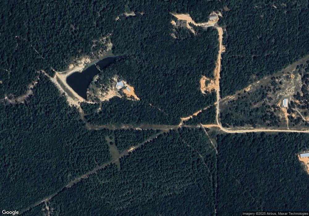
Map
Nearby Homes
- 2966 Harmon Williams Rd
- 15250 Deer Run Dr S
- 19255 Eli Dudley Rd
- 0 Rayford Shumock Rd Unit 24406728
- 0 Rayford Shumock Rd Unit 4121875
- 14201 Airport Blvd
- -0- Rayford Shumock Rd
- 0 Dap Rd E
- 7805 Songbird Ln
- 01 Dap Rd E
- 18517 Goff Farm Rd
- 17500 Goff Farm Rd
- 8200 Butler Rd
- 14151 Driskell Dairy Rd
- 21551 John Holder Rd
- 22020 John Holder Rd
- 15093 Cat Deakle Rd
- 0 Gus Broughton Rd Unit 3
- 2995 Barlett Dr
- 8012 Coleman Homestead Rd
- 11050 Highway 614
- 19830 State Line Rd
- 10900 Highway 614
- 10950 Highway 614
- 11020 Highway 614
- 11160 Highway 614
- 10724 Highway 614
- 10852 Highway 614
- 10852 Highway 614
- 10848 Highway 614
- 11029 Highway 614
- 11220 Highway 614
- 10720 Highway 614
- 10937 Highway 614
- 8.79 Acres Hwy 614
- 11100 Highway 614
- 11105 Highway 614
- 11108 Highway 614
- 14901 State Line Rd
- 11326 Highway 614