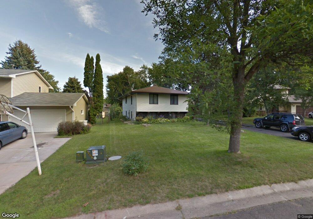
1989 Foxridge Rd Saint Paul, MN 55119
Battle Creek NeighborhoodEstimated Value: $345,233 - $384,000
About This Home
This home is located at 1989 Foxridge Rd, Saint Paul, MN 55119 and is currently estimated at $371,808, approximately $325 per square foot. 1989 Foxridge Rd is a home located in Ramsey County with nearby schools including Battle Creek Elementary School, Battle Creek Middle School, and Harding Senior High School.
Ownership History
We collect this data history from publicly available records. To have your information removed, we recommend requesting removal directly through your county’s website.
Purchase Details
Home Financials for this Owner
Home Financials are based on the most recent Mortgage that was taken out on this home.Home Values in the Area
Average Home Value in this Area
Purchase History
We collect this data history from publicly available records. To have your information removed, we recommend requesting removal directly through your county’s website.
| Date | Buyer | Sale Price | Title Company |
|---|---|---|---|
| $259,000 | None Available |
Mortgage History
We collect this data history from publicly available records. To have your information removed, we recommend requesting removal directly through your county’s website.
| Date | Status | Borrower | Loan Amount |
|---|---|---|---|
| Open | $200,000 |
Tax History
We collect this data history from publicly available records. To have your information removed, we recommend requesting removal directly through your county’s website.
| Year | Tax Paid | Tax Assessment Tax Assessment Total Assessment is a certain percentage of the fair market value that is determined by local assessors to be the total taxable value of land and additions on the property. | Land | Improvement |
|---|---|---|---|---|
| 2025 | $5,320 | $339,300 | $40,000 | $299,300 |
| 2023 | $5,320 | $342,400 | $40,000 | $302,400 |
| 2022 | $4,718 | $327,100 | $40,000 | $287,100 |
| 2021 | $4,346 | $274,500 | $40,000 | $234,500 |
| 2020 | $4,452 | $260,300 | $40,000 | $220,300 |
| 2019 | $4,442 | $247,400 | $40,000 | $207,400 |
| 2018 | $3,352 | $256,800 | $40,000 | $216,800 |
| 2017 | $3,272 | $203,800 | $35,300 | $168,500 |
| 2016 | $3,136 | $0 | $0 | $0 |
| 2015 | $3,054 | $175,600 | $35,300 | $140,300 |
| 2014 | $2,906 | $0 | $0 | $0 |
Map
- 2028 Pathways Dr
- 2023 Parkside Dr
- 120 Ruth St N Unit 1
- 2076 Pathways Dr Unit 1
- 248 Ruth St N
- 182 Faye St
- 1945 Upper Afton Rd E
- 48 Winthrop St N
- 51 Luella St S
- 49 Flandrau Place
- 1875 Garden Way
- 1680 Burns Ave
- 993 Kennard St N
- 444 Van Dyke St
- 71 B St
- 448 White Bear Ave N
- 2230 Falcon Ave
- 1618 Mclean Ave
- 1625 Mclean Ave
- 1619 Mclean Ave
- 1983 Foxridge Rd
- 1993 Foxridge Rd
- 1990 Warbler Ln
- 1982 Warbler Ln
- 1975 Foxridge Rd
- 1997 Foxridge Rd
- 1976 Warbler Ln
- 1994 Warbler Ln
- 1984 Foxridge Rd
- 1990 Foxridge Rd
- 1967 Foxridge Rd
- 1970 Warbler Ln
- 1976 Foxridge Rd
- 1998 Foxridge Rd
- 145 Ruth St N
- 135 Ruth St N
- 1999 Warbler Ln
- 155 Ruth St N
- 155 155 Ruth-Street-n
- 1968 Foxridge Rd
Ask me questions while you tour the home.