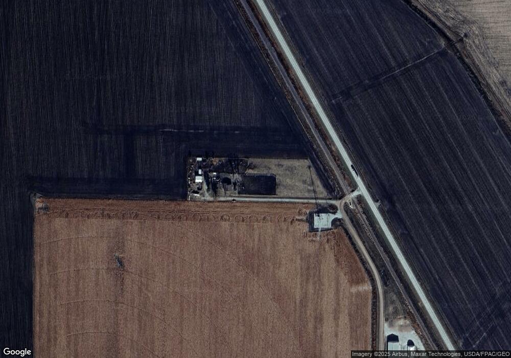
19890 155th St Whiting, IA 51063
Estimated Value: $100,000 - $200,727
2
Beds
1
Bath
1,338
Sq Ft
$117/Sq Ft
Est. Value
About This Home
This home is located at 19890 155th St, Whiting, IA 51063 and is currently estimated at $156,932, approximately $117 per square foot. 19890 155th St is a home with nearby schools including Whiting Elementary School and Whiting Senior High School.
Ownership History
Date
Name
Owned For
Owner Type
Purchase Details
Closed on
Sep 20, 2007
Sold by
Getzfreid Barbara Ann and Getzfreid Francis
Bought by
Paulsen Katherine A and Madison Katherine A
Current Estimated Value
Home Financials for this Owner
Home Financials are based on the most recent Mortgage that was taken out on this home.
Original Mortgage
$40,000
Interest Rate
6.55%
Mortgage Type
New Conventional
Create a Home Valuation Report for This Property
The Home Valuation Report is an in-depth analysis detailing your home's value as well as a comparison with similar homes in the area
Home Values in the Area
Average Home Value in this Area
Purchase History
| Date | Buyer | Sale Price | Title Company |
|---|---|---|---|
| Paulsen Katherine A | $50,000 | None Available |
Source: Public Records
Mortgage History
| Date | Status | Borrower | Loan Amount |
|---|---|---|---|
| Closed | Paulsen Katherine A | $40,000 |
Source: Public Records
Tax History Compared to Growth
Tax History
| Year | Tax Paid | Tax Assessment Tax Assessment Total Assessment is a certain percentage of the fair market value that is determined by local assessors to be the total taxable value of land and additions on the property. | Land | Improvement |
|---|---|---|---|---|
| 2024 | $1,430 | $136,160 | $27,750 | $108,410 |
| 2023 | $1,332 | $136,160 | $27,750 | $108,410 |
| 2022 | $1,258 | $117,733 | $0 | $0 |
| 2021 | $1,078 | $106,573 | $0 | $0 |
| 2020 | $1,290 | $88,212 | $27,750 | $60,462 |
| 2019 | $1,290 | $95,074 | $0 | $0 |
| 2018 | $1,283 | $95,074 | $0 | $0 |
| 2017 | $1,234 | $90,547 | $0 | $0 |
| 2016 | $1,220 | $90,547 | $0 | $0 |
| 2015 | $1,190 | $80,130 | $0 | $0 |
| 2014 | $1,088 | $80,130 | $0 | $0 |
Source: Public Records
Map
Nearby Homes