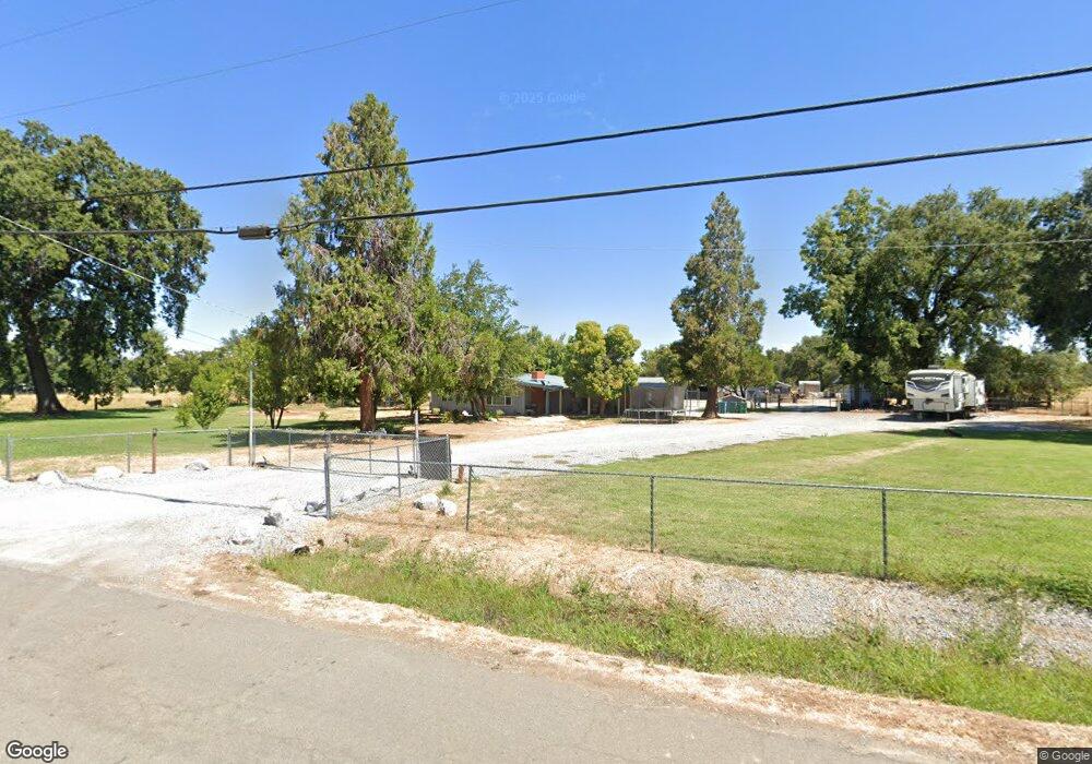
19893 Loop St Anderson, CA 96007
Riverside Avenue NeighborhoodEstimated Value: $377,000 - $502,923
2
Beds
2
Baths
2,200
Sq Ft
$205/Sq Ft
Est. Value
About This Home
This home is located at 19893 Loop St, Anderson, CA 96007 and is currently estimated at $450,731, approximately $204 per square foot. 19893 Loop St is a home located in Shasta County with nearby schools including Meadow Lane Elementary School, Anderson Heights Elementary School, and Anderson Middle School.
Ownership History
Date
Name
Owned For
Owner Type
Purchase Details
Closed on
Apr 28, 2020
Sold by
Reitan Darren Neil
Bought by
Mcgrath Jacqueline Lee and Mcgrath Donald Wayne
Current Estimated Value
Home Financials for this Owner
Home Financials are based on the most recent Mortgage that was taken out on this home.
Original Mortgage
$246,415
Outstanding Balance
$219,572
Interest Rate
3.6%
Mortgage Type
New Conventional
Estimated Equity
$231,159
Purchase Details
Closed on
Apr 18, 2000
Sold by
Reitan Vernon N and Reitan Alma L
Bought by
Reitan Vernon N and Reitan Alma L
Create a Home Valuation Report for This Property
The Home Valuation Report is an in-depth analysis detailing your home's value as well as a comparison with similar homes in the area
Home Values in the Area
Average Home Value in this Area
Purchase History
| Date | Buyer | Sale Price | Title Company |
|---|---|---|---|
| Mcgrath Jacqueline Lee | $288,000 | Fidelity National Title | |
| Reitan Vernon N | -- | -- |
Source: Public Records
Mortgage History
| Date | Status | Borrower | Loan Amount |
|---|---|---|---|
| Open | Mcgrath Jacqueline Lee | $246,415 |
Source: Public Records
Tax History
| Year | Tax Paid | Tax Assessment Tax Assessment Total Assessment is a certain percentage of the fair market value that is determined by local assessors to be the total taxable value of land and additions on the property. | Land | Improvement |
|---|---|---|---|---|
| 2025 | $4,352 | $413,129 | $131,235 | $281,894 |
| 2024 | $3,990 | $406,907 | $128,662 | $278,245 |
| 2023 | $3,990 | $373,165 | $126,140 | $247,025 |
| 2022 | $3,863 | $365,849 | $123,667 | $242,182 |
| 2021 | $3,828 | $358,677 | $121,243 | $237,434 |
| 2020 | $2,356 | $217,550 | $155,400 | $62,150 |
| 2019 | $2,250 | $213,285 | $152,353 | $60,932 |
| 2018 | $2,214 | $209,104 | $149,366 | $59,738 |
| 2017 | $2,221 | $205,005 | $146,438 | $58,567 |
| 2016 | $2,055 | $200,986 | $143,567 | $57,419 |
| 2015 | $2,060 | $197,968 | $141,411 | $56,557 |
| 2014 | -- | $194,091 | $138,641 | $55,450 |
Source: Public Records
Map
Nearby Homes
- 19892 Loop St
- 19877 Loop St
- 19869 Loop St
- 19880 Loop St
- 19868 Loop St
- 19861 Loop St
- 19916 Loop St
- 6134 Kingdom Ln
- 19853 Loop St
- 19922 Loop St Unit sfd
- 19922 Loop St
- 19860 Loop St
- 0 Pinewood Ave
- 6105 Pinewood Ave
- 19930 Loop St
- 19849 Loop St
- 6096 Pinewood Ave
- 19852 Loop St
- 6144 Kingdom Ln
- 6115 Pinewood Ave
Your Personal Tour Guide
Ask me questions while you tour the home.