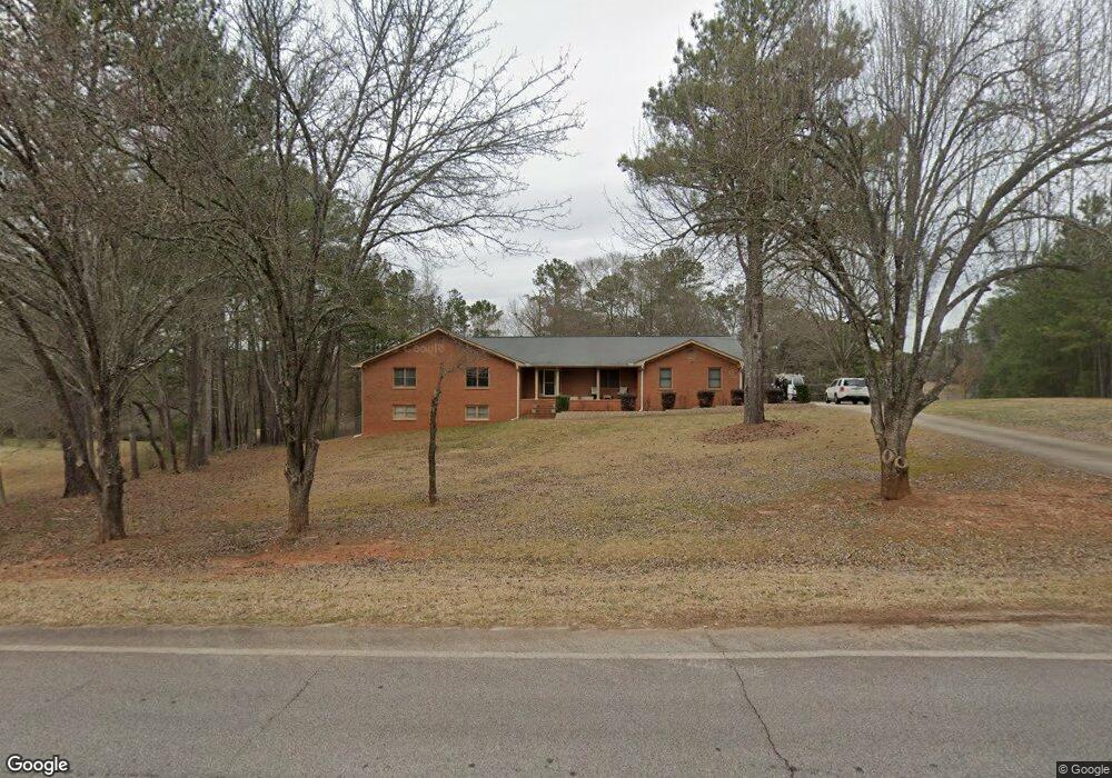
199 E Mays Rd Stockbridge, GA 30281
Estimated Value: $372,075 - $439,000
3
Beds
2
Baths
2,786
Sq Ft
$145/Sq Ft
Est. Value
About This Home
This home is located at 199 E Mays Rd, Stockbridge, GA 30281 and is currently estimated at $405,269, approximately $145 per square foot. 199 E Mays Rd is a home located in Henry County with nearby schools including Austin Road Elementary School, Austin Road Middle School, and Woodland High School.
Ownership History
Date
Name
Owned For
Owner Type
Purchase Details
Closed on
Oct 9, 2018
Sold by
Tanner Richard B
Bought by
Shaw Christopher N
Current Estimated Value
Home Financials for this Owner
Home Financials are based on the most recent Mortgage that was taken out on this home.
Original Mortgage
$230,000
Outstanding Balance
$200,592
Interest Rate
4.6%
Estimated Equity
$204,677
Purchase Details
Closed on
Aug 31, 1999
Sold by
Smith Rahl T and Smith Linda F
Bought by
Tanner Richard B and Tanner Stephanie J
Home Financials for this Owner
Home Financials are based on the most recent Mortgage that was taken out on this home.
Original Mortgage
$169,100
Interest Rate
7.91%
Mortgage Type
New Conventional
Create a Home Valuation Report for This Property
The Home Valuation Report is an in-depth analysis detailing your home's value as well as a comparison with similar homes in the area
Home Values in the Area
Average Home Value in this Area
Purchase History
| Date | Buyer | Sale Price | Title Company |
|---|---|---|---|
| Shaw Christopher N | $230,000 | -- | |
| Tanner Richard B | $178,000 | -- |
Source: Public Records
Mortgage History
| Date | Status | Borrower | Loan Amount |
|---|---|---|---|
| Open | Shaw Christopher N | $230,000 | |
| Previous Owner | Tanner Richard B | $169,100 |
Source: Public Records
Tax History Compared to Growth
Tax History
| Year | Tax Paid | Tax Assessment Tax Assessment Total Assessment is a certain percentage of the fair market value that is determined by local assessors to be the total taxable value of land and additions on the property. | Land | Improvement |
|---|---|---|---|---|
| 2025 | $1,372 | $182,936 | $16,440 | $166,496 |
| 2024 | $1,372 | $162,760 | $14,840 | $147,920 |
| 2023 | $805 | $157,600 | $14,280 | $143,320 |
| 2022 | $881 | $137,360 | $13,200 | $124,160 |
| 2021 | $137 | $105,000 | $11,320 | $93,680 |
| 2020 | $284 | $100,680 | $10,680 | $90,000 |
| 2019 | $3,569 | $92,000 | $9,936 | $82,064 |
| 2018 | $0 | $83,240 | $9,360 | $73,880 |
| 2016 | $2,558 | $72,720 | $7,560 | $65,160 |
| 2015 | $2,161 | $60,920 | $8,280 | $52,640 |
| 2014 | $2,078 | $58,280 | $8,280 | $50,000 |
Source: Public Records
Map
Nearby Homes
- 231 Sorrow Rd
- 0 E Mays Rd Unit 10496305
- 157 Hambrick Dr
- 373 Vicki Ln
- 1110 Estates Ct
- 0 Flat Shoals Church Rd Unit 10642485
- 0 Flat Shoals Church Rd Unit 10642435
- 0 Flat Shoals Church Rd Unit 10642461
- 509 Tall Pines Ct
- 5339 Highway 155 N
- 2100 Highway 138 E
- 2471 Old Conyers Rd
- 6079 Highway 155 N
- 120 Bowen Rd
- 3710 Highway 155 SW
- 88 Bowen Rd
- 293 Ironwood Dr
- 5149 Highway 155 N
- 128 Crown Glen Way
- 111 E Mays Rd
- 111 E Mays Rd
- 211 E Mays Rd
- 456 Sorrow Rd Unit 45
- 456 Sorrow Rd
- 452 Sorrow Rd
- 453 Sorrow Rd Unit 44
- 453 Sorrow Rd
- 99 E Mays Rd
- 448 Sorrow Rd Unit 47
- 448 Sorrow Rd
- 162 E Mays Rd
- 449 Sorrow Rd
- 0 Harper Dr Unit 10215786
- 0 Harper Dr Unit 7291488
- 0 Harper Dr Unit 20152843
- 0 Harper Dr Unit 7110082
- 0 Harper Dr Unit 20071282
- 0 Harper Dr Unit 20030287
- 0 Harper Dr Unit 7045639