199 Nh Route 10 Marlow, NH 03456
Estimated Value: $150,883 - $228,000
1
Bed
1
Bath
580
Sq Ft
$356/Sq Ft
Est. Value
About This Home
This home is located at 199 Nh Route 10, Marlow, NH 03456 and is currently estimated at $206,471, approximately $355 per square foot. 199 Nh Route 10 is a home with nearby schools including Candor Elementary School, Mayland Early College High School, and Keene High School.
Ownership History
Date
Name
Owned For
Owner Type
Purchase Details
Closed on
Aug 14, 2007
Sold by
Cohen Arthur E
Bought by
Rosario Anthony B and Rosario Carole P
Current Estimated Value
Home Financials for this Owner
Home Financials are based on the most recent Mortgage that was taken out on this home.
Original Mortgage
$80,000
Outstanding Balance
$50,807
Interest Rate
6.72%
Estimated Equity
$155,664
Create a Home Valuation Report for This Property
The Home Valuation Report is an in-depth analysis detailing your home's value as well as a comparison with similar homes in the area
Home Values in the Area
Average Home Value in this Area
Purchase History
| Date | Buyer | Sale Price | Title Company |
|---|---|---|---|
| Rosario Anthony B | $80,000 | -- |
Source: Public Records
Mortgage History
| Date | Status | Borrower | Loan Amount |
|---|---|---|---|
| Open | Rosario Anthony B | $80,000 |
Source: Public Records
Tax History Compared to Growth
Tax History
| Year | Tax Paid | Tax Assessment Tax Assessment Total Assessment is a certain percentage of the fair market value that is determined by local assessors to be the total taxable value of land and additions on the property. | Land | Improvement |
|---|---|---|---|---|
| 2024 | $1,690 | $54,520 | $16,600 | $37,920 |
| 2023 | $1,571 | $54,520 | $16,600 | $37,920 |
| 2022 | $1,408 | $54,520 | $16,600 | $37,920 |
| 2021 | $1,347 | $54,520 | $16,600 | $37,920 |
| 2020 | $1,620 | $54,520 | $16,600 | $37,920 |
| 2019 | $1,661 | $52,030 | $16,600 | $35,430 |
| 2018 | $1,254 | $49,330 | $16,600 | $32,730 |
| 2016 | $1,031 | $46,930 | $16,600 | $30,330 |
| 2015 | $1,157 | $45,230 | $16,600 | $28,630 |
| 2014 | $1,156 | $46,380 | $14,130 | $32,250 |
| 2009 | $230 | $10,740 | $9,300 | $1,440 |
Source: Public Records
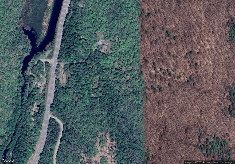
Map
Nearby Homes
- 6 Mill St
- 16 Nash Corner Rd
- 172 Nh-Rte 123 Route
- 0 Washington Pond Rd Unit 113
- 32 Blueberry Hill Ln
- 27 Shadowland Rd
- 29&31 White Brook Rd
- 24 White Brook Dr
- 101 Gilsum Rd
- 178 North Rd
- 00 Scenic Dr Unit 22
- Lot 53 Apple Hill Rd
- 67 Lang Rd
- 00 Kennedy Brook Dr Unit 11
- 105 South Rd
- 15 Deadbrook Rd
- 1025 Route 123 N
- 1018 Route 123 N
- 258 Valley Rd
- 00 Alstead Center Rd
- 185 Nh Route 10
- 192 Nh Route 10
- 146 Nh Route 10
- 196 Nh Route 10
- 228 Nh Route 10
- 228 Nh Route 10
- 00 New Hampshire 10 Unit 20
- 00 New Hampshire 10
- 0 New Hampshire 10 Unit 5005142
- M405 L10 New Hampshire 10
- Lot 50-51 New Hampshire 10
- 0 New Hampshire 10
- 34 Reed Rd
- 100 Nh Route 10
- 31 Perry Rd
- 0 Rte 10 Unit 4701708
- 0 Rte 10 Unit Lot 4 4791103
- 0 Rte 10 Unit Lot 5 4790932
- 25 Lewis Rd
- 10 Greens Landing