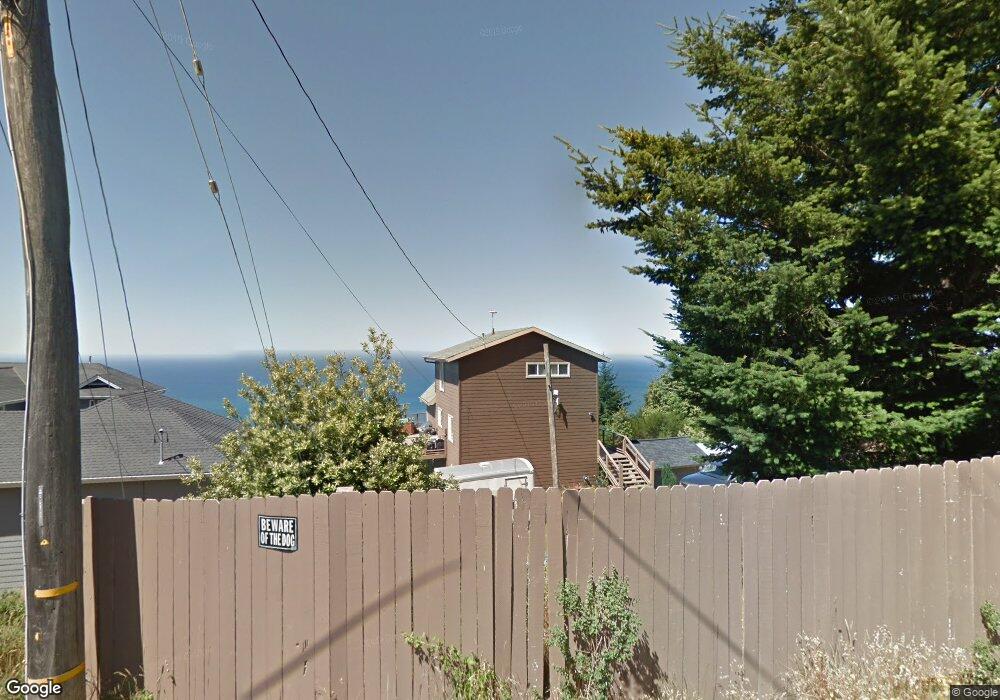
199 Parsons Rd Whitethorn, CA 95589
Estimated Value: $498,939 - $614,000
2
Beds
2
Baths
1,508
Sq Ft
$362/Sq Ft
Est. Value
About This Home
This home is located at 199 Parsons Rd, Whitethorn, CA 95589 and is currently estimated at $545,485, approximately $361 per square foot. 199 Parsons Rd is a home located in Humboldt County.
Ownership History
Date
Name
Owned For
Owner Type
Purchase Details
Closed on
Sep 12, 2022
Sold by
Harding Michael B
Bought by
Harding Michael B and Nolte Nicholas
Current Estimated Value
Purchase Details
Closed on
Apr 26, 2017
Sold by
Nolte Nicholas
Bought by
Harding Michael B
Purchase Details
Closed on
Apr 6, 2003
Sold by
Coulombe John H and Coulombe Beatrice J
Bought by
Nolte Nicholas
Home Financials for this Owner
Home Financials are based on the most recent Mortgage that was taken out on this home.
Original Mortgage
$224,000
Interest Rate
5.6%
Create a Home Valuation Report for This Property
The Home Valuation Report is an in-depth analysis detailing your home's value as well as a comparison with similar homes in the area
Home Values in the Area
Average Home Value in this Area
Purchase History
| Date | Buyer | Sale Price | Title Company |
|---|---|---|---|
| Harding Michael B | -- | -- | |
| Harding Michael B | $332,000 | Fidelity National Title Comp | |
| Nolte Nicholas | $280,000 | Fidelity National |
Source: Public Records
Mortgage History
| Date | Status | Borrower | Loan Amount |
|---|---|---|---|
| Previous Owner | Nolte Nicholas | $224,000 | |
| Closed | Nolte Nicholas | $28,000 |
Source: Public Records
Tax History Compared to Growth
Tax History
| Year | Tax Paid | Tax Assessment Tax Assessment Total Assessment is a certain percentage of the fair market value that is determined by local assessors to be the total taxable value of land and additions on the property. | Land | Improvement |
|---|---|---|---|---|
| 2025 | $5,613 | $490,330 | $139,267 | $351,063 |
| 2024 | $5,613 | $482,011 | $136,537 | $345,474 |
| 2023 | $5,648 | $473,855 | $133,860 | $339,995 |
| 2022 | $5,579 | $465,859 | $131,236 | $334,623 |
| 2021 | $5,149 | $447,019 | $128,663 | $318,356 |
| 2020 | $5,190 | $443,462 | $127,344 | $316,118 |
| 2019 | $5,076 | $435,856 | $124,848 | $311,008 |
| 2018 | $4,949 | $423,356 | $122,400 | $300,956 |
| 2017 | $4,189 | $362,914 | $112,307 | $250,607 |
| 2016 | $4,165 | $355,799 | $110,105 | $245,694 |
| 2015 | $4,145 | $350,456 | $108,452 | $242,004 |
| 2014 | $3,903 | $343,592 | $106,328 | $237,264 |
Source: Public Records
Map
Nearby Homes
- 450 Hillside Dr
- 1085 Hillside Dr
- 261 Parsons Rd
- 2715 Toth Rd
- 7431 Shelter Cove Rd
- 62 Highview Cir
- 175 Hillside Dr
- 65 Carson Ct
- 1071 Hillside Dr
- 41 W Cove Point
- 8936 Shelter Cove Rd
- 86 & 112 Rawhide Ct
- 141 Cove Point W
- 356 Nob Hill Rd
- 432 Knob Hill Dr
- 9020 Shelter Cove Rd
- 32 Sea Crest Rd
- 268 Oak Dr
- 755 Telegraph Creek Rd
- 127 Cook Rd
- 195 Parsons Rd
- 46 Parsons Rd
- 2861 Toth Rd
- 211 Parsons Rd
- 214 Parsons Rd
- 281 Hillside Dr
- 1172 Hillside Dr
- 634 Hillside Dr
- 225 Parsons Rd
- 2943 Toth Rd
- 211 & 225 Parsons Rd
- 300 Parsons Rd
- 145 Parsons Rd
- 230 Olson Rd
- 578 Hillside Dr
- 224 Parsons Rd
- 568 & 578 Hillside Dr
- 124 Parsons Rd
- 142 Parsons Rd
- 186 Olson Rd