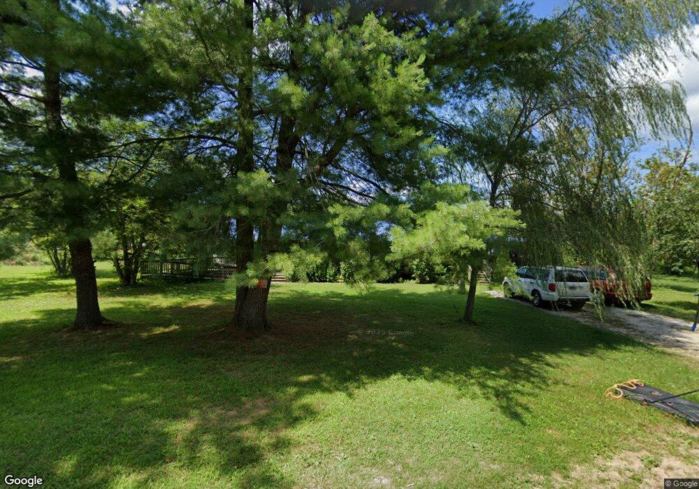
199 Wilson Rd Clarkrange, TN 38553
Estimated Value: $161,356 - $398,000
Studio
--
Bath
1,344
Sq Ft
$208/Sq Ft
Est. Value
About This Home
This home is located at 199 Wilson Rd, Clarkrange, TN 38553 and is currently estimated at $280,089, approximately $208 per square foot. 199 Wilson Rd is a home.
Ownership History
We collect this data history from publicly available records. To have your information removed, we recommend requesting removal directly through your county’s website.
Date
Name
Owned For
Owner Type
Purchase Details
Closed on
Mar 1, 2012
Sold by
Bought by
Current Estimated Value
Purchase Details
Closed on
Mar 13, 1990
Bought by
Purchase Details
Closed on
Sep 18, 1989
Bought by
Create a Home Valuation Report for This Property
The Home Valuation Report is an in-depth analysis detailing your home's value as well as a comparison with similar homes in the area
Purchase History
We collect this data history from publicly available records. To have your information removed, we recommend requesting removal directly through your county’s website.
| Date | Buyer | Sale Price | Title Company |
|---|---|---|---|
| -- | -- | ||
| $10,000 | -- | ||
| $75,000 | -- |
Source: Public Records
Tax History
We collect this data history from publicly available records. To have your information removed, we recommend requesting removal directly through your county’s website.
| Year | Tax Paid | Tax Assessment Tax Assessment Total Assessment is a certain percentage of the fair market value that is determined by local assessors to be the total taxable value of land and additions on the property. | Land | Improvement |
|---|---|---|---|---|
| 2025 | $319 | $23,650 | $10,300 | $13,350 |
| 2024 | $319 | $23,650 | $10,300 | $13,350 |
| 2023 | $319 | $23,650 | $10,300 | $13,350 |
| 2022 | $303 | $15,850 | $7,150 | $8,700 |
| 2021 | $303 | $15,850 | $7,150 | $8,700 |
| 2020 | $303 | $15,850 | $7,150 | $8,700 |
| 2019 | $303 | $15,850 | $7,150 | $8,700 |
| 2018 | $276 | $15,850 | $7,150 | $8,700 |
| 2017 | $267 | $13,475 | $5,350 | $8,125 |
| 2016 | $267 | $13,475 | $5,350 | $8,125 |
| 2015 | $267 | $13,465 | $0 | $0 |
| 2014 | $267 | $13,465 | $0 | $0 |
Source: Public Records
Map
Nearby Homes
- 2047 Todd Rd
- 106 MacA Ridge Cir
- 0 Old Martha Washington Rd
- 2019 Martha Washington Rd
- 1112 N Shady Lane Loop
- 1070 N Shady Lane Loop
- 6604 S York Hwy
- 122 Green Acres
- 104 Green Acres
- 821 Buffalo Trail
- 1079 South Ln
- 809 Buffalo Trail
- 1020 South Ln
- 634 Robs Rd
- 247 Hayden Ln
- 338 Swallows Crossing
- 1259 Franklin Loop
- 360 Swallows Crossing
- 1243 Franklin Loop
- 366 Swallows Crossing
- 224 Wilson Rd
- 179 Wilson Rd
- 156 Wilson Rd
- 147 Wilson Rd
- 2570 Martha Washington Rd
- 1110 Baldwin Gulf Rd
- 1130 Baldwin Gulf Rd
- 1113 Baldwin Gulf Rd
- 1140 Baldwin Gulf Rd
- 1393 Old Bean Shed Rd
- 1495 Old Bean Shed Rd
- 1160 Baldwin Gulf Rd
- 1300 Lowe Point Rd
- 33 ACRE Old Bean Shed Rd
- 34 AC Old Bean Shed Rd
- 2655 Martha Washington Rd
- 1369 Old Bean Shed Rd
- 1412 Old Bean Shed Rd
- 1500 Old Bean Shed Rd
- 2510 Martha Washington Rd
Your Personal Tour Guide
Ask me questions while you tour the home.