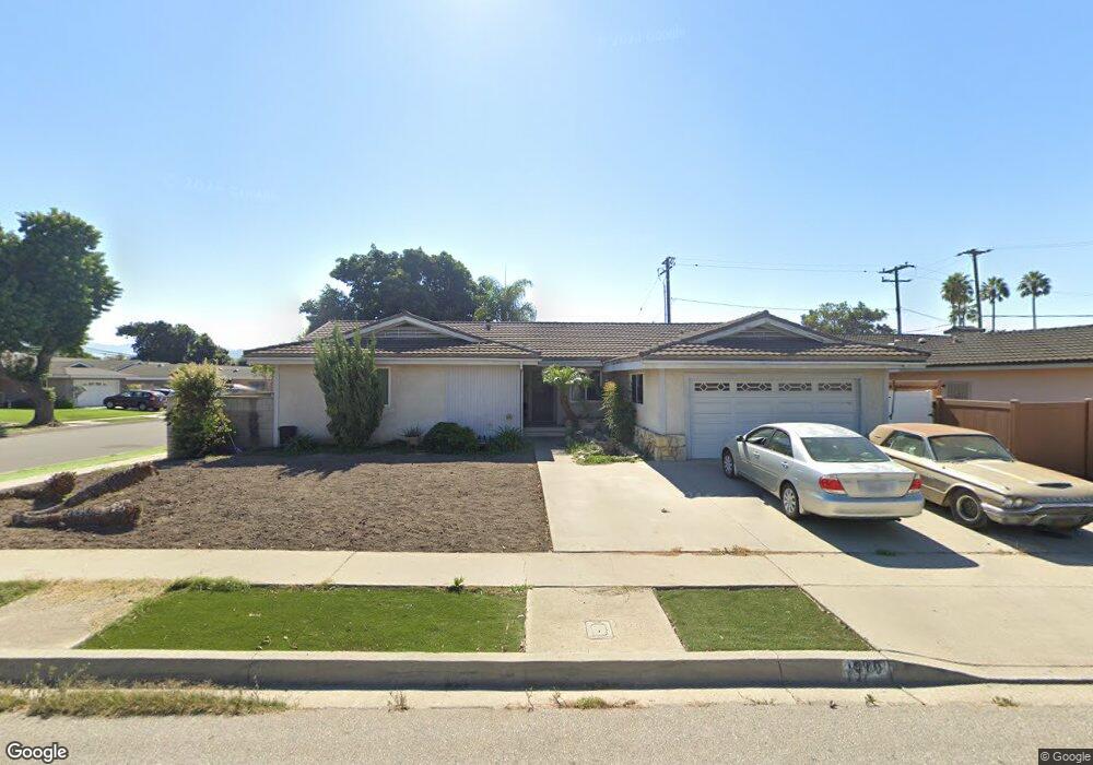
1990 Dunnigan St Camarillo, CA 93010
Estimated Value: $846,000 - $1,045,000
4
Beds
2
Baths
1,864
Sq Ft
$491/Sq Ft
Est. Value
About This Home
This home is located at 1990 Dunnigan St, Camarillo, CA 93010 and is currently estimated at $914,965, approximately $490 per square foot. 1990 Dunnigan St is a home located in Ventura County with nearby schools including Monte Vista Middle School, University Preparation Charter School at CSU Channel Islands, and Camarillo Academy of Progressive Education.
Ownership History
Date
Name
Owned For
Owner Type
Purchase Details
Closed on
Dec 3, 2002
Sold by
Rodriguez Gloria
Bought by
Rodriguez Piedad
Current Estimated Value
Home Financials for this Owner
Home Financials are based on the most recent Mortgage that was taken out on this home.
Original Mortgage
$210,000
Interest Rate
5.86%
Create a Home Valuation Report for This Property
The Home Valuation Report is an in-depth analysis detailing your home's value as well as a comparison with similar homes in the area
Home Values in the Area
Average Home Value in this Area
Purchase History
| Date | Buyer | Sale Price | Title Company |
|---|---|---|---|
| Rodriguez Piedad | $105,000 | First American Title Ins Co |
Source: Public Records
Mortgage History
| Date | Status | Borrower | Loan Amount |
|---|---|---|---|
| Closed | Rodriguez Piedad | $210,000 |
Source: Public Records
Tax History Compared to Growth
Tax History
| Year | Tax Paid | Tax Assessment Tax Assessment Total Assessment is a certain percentage of the fair market value that is determined by local assessors to be the total taxable value of land and additions on the property. | Land | Improvement |
|---|---|---|---|---|
| 2025 | $1,711 | $155,857 | $26,518 | $129,339 |
| 2024 | $1,711 | $152,801 | $25,998 | $126,803 |
| 2023 | $1,650 | $149,805 | $25,488 | $124,317 |
| 2022 | $1,643 | $146,868 | $24,988 | $121,880 |
| 2021 | $1,584 | $143,989 | $24,498 | $119,491 |
| 2020 | $1,577 | $142,515 | $24,248 | $118,267 |
| 2019 | $1,567 | $139,722 | $23,773 | $115,949 |
| 2018 | $1,537 | $136,983 | $23,307 | $113,676 |
| 2017 | $1,448 | $134,298 | $22,850 | $111,448 |
| 2016 | $1,413 | $131,665 | $22,402 | $109,263 |
| 2015 | $1,398 | $129,689 | $22,066 | $107,623 |
| 2014 | $1,365 | $127,151 | $21,635 | $105,516 |
Source: Public Records
Map
Nearby Homes
- 2174 Wilcox St
- 865 Mobil Ave
- 743 Rowland Ave
- 876 Palmer Ave
- 759 Guy Turner Dr
- 741 Guy Turner Dr
- 755 Guy Turner Dr
- 745 Guy Turner Dr
- 747 Guy Turner Dr
- 1461 Lexington Ct
- 1566 Edgemont Dr
- 2047 Euclid Ave
- 2113 Euclid Ave
- 1709 Las Posas Rd
- 1656 Shoreline St
- 1519 Lyndhurst Ave
- 124 Reddington Ct
- 2201 Camilar Dr
- 76 Nancy St
- 478 Staunton St
- 1177 Rowland Ave
- 1976 Dunnigan St
- 2042 Dunnigan St
- 1991 Dunnigan St
- 1178 Rowland Ave
- 1153 Rowland Ave
- 1162 Rowland Ave
- 1987 Dunnigan St
- 1955 Bancroft St
- 1964 Dunnigan St
- 2043 Dunnigan St
- 1941 Bancroft St
- 1219 Rowland Ave
- 1975 Dunnigan St
- 1218 N Rowland Ave
- 1140 Rowland Ave
- 1135 Rowland Ave
- 1218 Rowland Ave
- 1963 Dunnigan St
- 1942 Dunnigan St