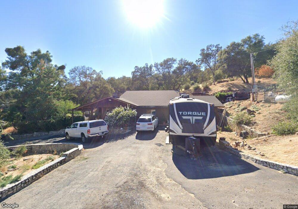
19902 Waif Mine Rd Sonora, CA 95370
Estimated Value: $311,000 - $479,000
3
Beds
3
Baths
2,252
Sq Ft
$182/Sq Ft
Est. Value
About This Home
This home is located at 19902 Waif Mine Rd, Sonora, CA 95370 and is currently estimated at $409,215, approximately $181 per square foot. 19902 Waif Mine Rd is a home located in Tuolumne County with nearby schools including Curtis Creek Elementary School, Dario Cassina High School, and Theodore Bird High School.
Ownership History
Date
Name
Owned For
Owner Type
Purchase Details
Closed on
Dec 10, 2003
Sold by
Awalt Zachariah E and Awalt Michelle F
Bought by
Awalt Zachariah E and Awalt Michelle F
Current Estimated Value
Home Financials for this Owner
Home Financials are based on the most recent Mortgage that was taken out on this home.
Original Mortgage
$172,500
Interest Rate
5.97%
Mortgage Type
Stand Alone Refi Refinance Of Original Loan
Create a Home Valuation Report for This Property
The Home Valuation Report is an in-depth analysis detailing your home's value as well as a comparison with similar homes in the area
Home Values in the Area
Average Home Value in this Area
Purchase History
We collect this data history from publicly available records. To have your information removed, we recommend requesting removal directly through your county’s website.
| Date | Buyer | Sale Price | Title Company |
|---|---|---|---|
| Awalt Zachariah E | -- | Fidelity Natl Title Ins Co |
Source: Public Records
Mortgage History
We collect this data history from publicly available records. To have your information removed, we recommend requesting removal directly through your county’s website.
| Date | Status | Borrower | Loan Amount |
|---|---|---|---|
| Closed | Awalt Zachariah E | $172,500 |
Source: Public Records
Tax History
| Year | Tax Paid | Tax Assessment Tax Assessment Total Assessment is a certain percentage of the fair market value that is determined by local assessors to be the total taxable value of land and additions on the property. | Land | Improvement |
|---|---|---|---|---|
| 2025 | $2,339 | $234,871 | $72,315 | $162,556 |
| 2024 | $2,339 | $230,267 | $70,898 | $159,369 |
| 2023 | $2,287 | $225,753 | $69,508 | $156,245 |
| 2022 | $2,240 | $221,328 | $68,146 | $153,182 |
| 2021 | $2,195 | $216,989 | $66,810 | $150,179 |
| 2020 | $2,169 | $214,765 | $66,125 | $148,640 |
| 2019 | $2,126 | $210,555 | $64,829 | $145,726 |
| 2018 | $2,095 | $206,427 | $63,558 | $142,869 |
| 2017 | $1,948 | $194,047 | $62,312 | $131,735 |
| 2016 | $1,671 | $167,047 | $62,312 | $104,735 |
| 2015 | $1,433 | $143,855 | $61,377 | $82,478 |
| 2014 | $1,398 | $141,038 | $60,175 | $80,863 |
Source: Public Records
Map
Nearby Homes
- 15098 Cavalieri Rd
- 19967 Peaceful Oak Rd
- 14610 Mono Way
- 14610 Mono Way Unit 65
- 20071 Barnwood Ct
- 19360 Susan Way
- 14717 Deon Dr
- 20575 Lori Ln
- 20341 Midland Dr
- 20595 Lori Ln
- 19380 Rockridge Way
- 15595 Curtis Cir
- 14581 Stone Ln
- 15984 Tomahawk Ct
- 19825 Phoenix Lake Rd
- 14781 Lakeside Dr
- 0 Whitto Mine Rd
- 21858 Phoenix Lake Rd
- 19141 Sunny Cir
- 16400 Crestridge Ave
- 19928 Waif Mine Rd
- 19951 Waif Mine Rd
- 19884 Waif Mine Rd
- 0 Waif Mine Rd
- 19991 Waif Mine Rd
- 20010 Waif Mine Rd
- 19866 Christie May Ln
- 19826 California 108
- 19885 Seaborn Rd
- 19872 Christie May Ln
- 19880 Christie May Ln
- 20021 Waif Mine Rd
- 19902 Highway 108
- 19920 Little Creek Rd
- 19828 Seaborn Rd
- 19888 Christie May Ln
- 20150 Waif Mine Rd
- 19881 Christie May Ln
- 19896 Christie May Ln
- 19756 Serrano Rd
Your Personal Tour Guide
Ask me questions while you tour the home.