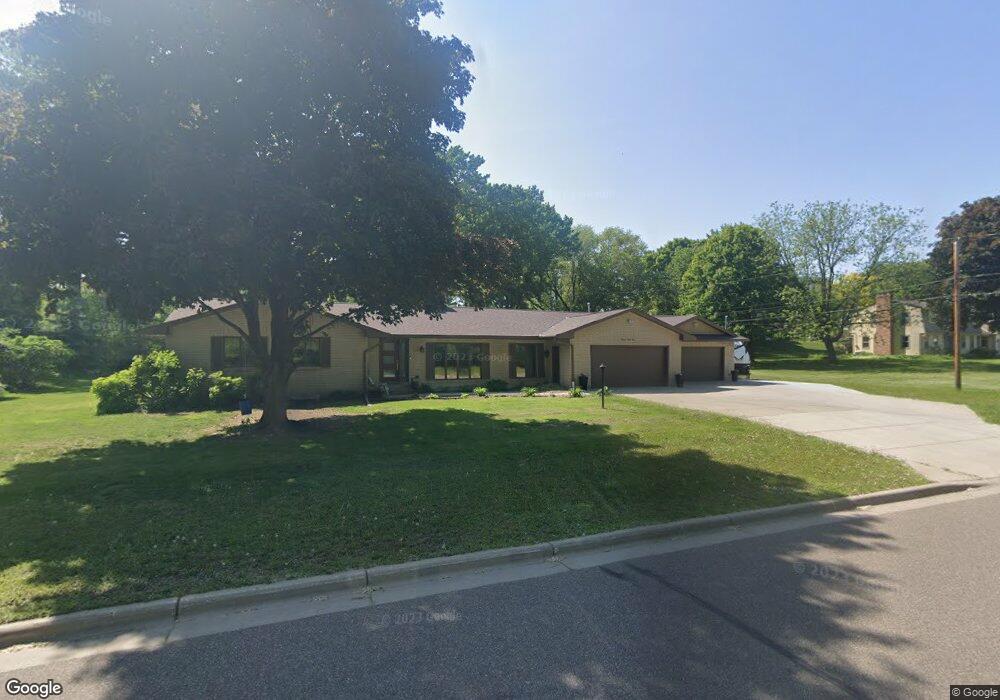
1991 Hunter Ln Saint Paul, MN 55118
Estimated Value: $769,000 - $1,351,000
6
Beds
4
Baths
2,524
Sq Ft
$404/Sq Ft
Est. Value
About This Home
This home is located at 1991 Hunter Ln, Saint Paul, MN 55118 and is currently estimated at $1,020,140, approximately $404 per square foot. 1991 Hunter Ln is a home located in Dakota County with nearby schools including Mendota Elementary School, Friendly Hills Middle School, and Two Rivers High School.
Ownership History
Date
Name
Owned For
Owner Type
Purchase Details
Closed on
Mar 27, 2019
Sold by
Ventrucci Peterson Drew S and Ventrucci Peterson Carmen Lea
Bought by
Ventrucci Peterson Drew S and Ventrucci Peterson Carmen Lea
Current Estimated Value
Purchase Details
Closed on
May 31, 2018
Sold by
Robichaud John Christopher
Bought by
Peterson Carmen Lea Ventrucci
Home Financials for this Owner
Home Financials are based on the most recent Mortgage that was taken out on this home.
Original Mortgage
$520,000
Outstanding Balance
$443,137
Interest Rate
3.87%
Mortgage Type
Adjustable Rate Mortgage/ARM
Estimated Equity
$577,003
Purchase Details
Closed on
Oct 24, 2017
Sold by
Adams Carol J and Carol J Adams Living Trust
Bought by
Robichaud John Christopher
Create a Home Valuation Report for This Property
The Home Valuation Report is an in-depth analysis detailing your home's value as well as a comparison with similar homes in the area
Home Values in the Area
Average Home Value in this Area
Purchase History
| Date | Buyer | Sale Price | Title Company |
|---|---|---|---|
| Ventrucci Peterson Drew S | -- | Dca Title | |
| Peterson Carmen Lea Ventrucci | $657,400 | Dca Title | |
| Robichaud John Christopher | $350,000 | Home Title Inc |
Source: Public Records
Mortgage History
| Date | Status | Borrower | Loan Amount |
|---|---|---|---|
| Open | Peterson Carmen Lea Ventrucci | $520,000 |
Source: Public Records
Tax History Compared to Growth
Tax History
| Year | Tax Paid | Tax Assessment Tax Assessment Total Assessment is a certain percentage of the fair market value that is determined by local assessors to be the total taxable value of land and additions on the property. | Land | Improvement |
|---|---|---|---|---|
| 2024 | $7,780 | $816,900 | $198,000 | $618,900 |
| 2023 | $7,780 | $779,600 | $193,600 | $586,000 |
| 2022 | $6,972 | $741,000 | $193,100 | $547,900 |
| 2021 | $7,032 | $662,900 | $140,000 | $522,900 |
| 2020 | $6,616 | $660,000 | $133,300 | $526,700 |
| 2019 | $4,759 | $606,700 | $127,000 | $479,700 |
| 2018 | $4,198 | $429,700 | $118,600 | $311,100 |
| 2017 | $5,013 | $394,700 | $113,000 | $281,700 |
| 2016 | $5,123 | $374,100 | $107,600 | $266,500 |
| 2015 | $5,002 | $381,320 | $106,849 | $274,471 |
| 2014 | -- | $353,852 | $100,100 | $253,752 |
| 2013 | -- | $343,170 | $96,855 | $246,315 |
Source: Public Records
Map
Nearby Homes
- 1936 Glenhill Rd
- 196X Glenhill Rd
- 1901 Lexington Ave S
- 360 E St
- 2044 Patricia St
- 2053 Theresa St
- 1840 Twin Circle Dr
- 1925 Walsh Ln
- 1127 Sibley Memorial Hwy Unit 4
- 1680 Lexington Ave S
- 912 Crown Ct
- 1860 Eagle Ridge Dr Unit W303
- 1759 Lilac Ln
- 1101 Sibley Memorial Hwy Unit 303
- 1101 Sibley Memorial Hwy Unit 406
- 1077 Sibley Memorial Hwy Unit 506
- 1077 Sibley Memorial Hwy Unit 602
- 884 Marie Ave W
- XXX Barbara Ct
- 2311 Swan Dr
- 1193 Victoria Curve
- 1181 Victoria Curve
- 1933 Hunter Ln
- 1203 Victoria Curve
- 1190 Culligan Ln
- 1215 Victoria Curve
- 1179 Victoria Curve
- 1162 Veronica Ln
- 1200 Culligan Ln
- 1217 Victoria Curve
- 1206 Culligan Ln
- 1169 Veronica Ln
- 1919 Hunter Ln
- 1163 Veronica Ln
- 1187 Culligan Ln
- 1911 Hunter Ln
- 1954 Glenhill Rd
- 1942 Glenhill Rd
- 1199 Culligan Ln
- 1916 Hunter Ln