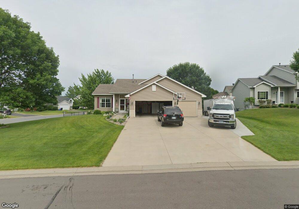
1993 Pheasant Run St Shakopee, MN 55379
Estimated Value: $438,067 - $467,000
4
Beds
3
Baths
1,412
Sq Ft
$321/Sq Ft
Est. Value
About This Home
This home is located at 1993 Pheasant Run St, Shakopee, MN 55379 and is currently estimated at $453,017, approximately $320 per square foot. 1993 Pheasant Run St is a home located in Scott County with nearby schools including Sun Path Elementary School, Shakopee West Middle School, and Shakopee Senior High School.
Ownership History
Date
Name
Owned For
Owner Type
Purchase Details
Closed on
Jul 25, 2005
Sold by
Sladek Bradley J and Sladek Kimberly A
Bought by
Ruas Matthew R and Ruas Lisa H
Current Estimated Value
Purchase Details
Closed on
Nov 29, 1999
Sold by
Key-Land Homes
Bought by
Sladek Bradley J and Sladek Kimberly A
Create a Home Valuation Report for This Property
The Home Valuation Report is an in-depth analysis detailing your home's value as well as a comparison with similar homes in the area
Home Values in the Area
Average Home Value in this Area
Purchase History
| Date | Buyer | Sale Price | Title Company |
|---|---|---|---|
| Ruas Matthew R | $314,000 | -- | |
| Sladek Bradley J | $177,000 | -- |
Source: Public Records
Tax History Compared to Growth
Tax History
| Year | Tax Paid | Tax Assessment Tax Assessment Total Assessment is a certain percentage of the fair market value that is determined by local assessors to be the total taxable value of land and additions on the property. | Land | Improvement |
|---|---|---|---|---|
| 2025 | $4,014 | $386,100 | $142,000 | $244,100 |
| 2024 | $3,990 | $389,700 | $142,000 | $247,700 |
| 2023 | $4,248 | $374,900 | $136,500 | $238,400 |
| 2022 | $3,874 | $390,800 | $155,100 | $235,700 |
| 2021 | $3,448 | $311,000 | $121,700 | $189,300 |
| 2020 | $3,746 | $303,500 | $116,700 | $186,800 |
| 2019 | $3,882 | $290,600 | $103,700 | $186,900 |
| 2018 | $4,210 | $0 | $0 | $0 |
| 2016 | $4,118 | $0 | $0 | $0 |
| 2014 | -- | $0 | $0 | $0 |
Source: Public Records
Map
Nearby Homes
- 2052 Wilhelm Ct
- 2777 Pampas Ct
- 1895 Omega Dr
- 2518 Green Ash Ave
- 2529 Green Ash Ave
- Berkley Plan at Arbor Bluff - Venture Collection
- 2551 Aspen Ct
- Clark Plan at Arbor Bluff - Venture Collection
- 2548 Aspen Ct
- Itasca Plan at Arbor Bluff - Landmark Collection
- Sequoia Plan at Arbor Bluff - Venture Collection
- Markham Plan at Arbor Bluff - Venture Collection
- 2340 Rock Elm Rd
- Lewis Plan at Arbor Bluff - Landmark Collection
- McKinley Plan at Arbor Bluff - Landmark Collection
- 2584 Aspen Ct
- 2606 Green Ash Ave
- Marquette Plan at Arbor Bluff - Venture Collection
- 2689 Aspen Dr
- Sinclair Plan at Arbor Bluff - Landmark Collection
- 1999 Pheasant Run St
- 1954 Blue Jay St
- 1964 Blue Jay St
- 2005 Pheasant Run St
- 2289 Ponds Way
- 2293 Ponds Way
- 1996 Pheasant Run St
- 2297 Ponds Way
- 1974 Blue Jay St
- 2002 Pheasant Run St
- 2011 Pheasant Run St
- 1966 Pheasant Run St
- 2008 Pheasant Run St
- 1984 Blue Jay St
- 2305 Ponds Way
- 2286 Thrush St
- 2330 Thrush St
- 2308 Thrush St
- 2190 Ponds Way
- 1961 Blue Jay St