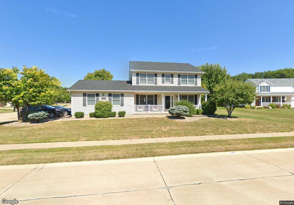
1993 Royal Ct Bettendorf, IA 52722
Estimated Value: $398,493 - $445,000
4
Beds
4
Baths
1,978
Sq Ft
$214/Sq Ft
Est. Value
About This Home
This home is located at 1993 Royal Ct, Bettendorf, IA 52722 and is currently estimated at $422,873, approximately $213 per square foot. 1993 Royal Ct is a home located in Scott County with nearby schools including Riverdale Heights Elementary, Pleasant Valley Junior High School, and Pleasant Valley High School.
Ownership History
Date
Name
Owned For
Owner Type
Purchase Details
Closed on
Aug 25, 2011
Sold by
Snyder Pamela J
Bought by
Cunningham Jeffrey R and Cunningham Susan C
Current Estimated Value
Home Financials for this Owner
Home Financials are based on the most recent Mortgage that was taken out on this home.
Original Mortgage
$222,682
Outstanding Balance
$154,326
Interest Rate
4.59%
Mortgage Type
New Conventional
Estimated Equity
$268,547
Create a Home Valuation Report for This Property
The Home Valuation Report is an in-depth analysis detailing your home's value as well as a comparison with similar homes in the area
Home Values in the Area
Average Home Value in this Area
Purchase History
| Date | Buyer | Sale Price | Title Company |
|---|---|---|---|
| Cunningham Jeffrey R | $245,000 | None Available |
Source: Public Records
Mortgage History
| Date | Status | Borrower | Loan Amount |
|---|---|---|---|
| Open | Cunningham Jeffrey R | $222,682 |
Source: Public Records
Tax History Compared to Growth
Tax History
| Year | Tax Paid | Tax Assessment Tax Assessment Total Assessment is a certain percentage of the fair market value that is determined by local assessors to be the total taxable value of land and additions on the property. | Land | Improvement |
|---|---|---|---|---|
| 2025 | $5,018 | $377,400 | $72,600 | $304,800 |
| 2024 | $5,092 | $336,200 | $46,800 | $289,400 |
| 2023 | $4,914 | $336,200 | $46,800 | $289,400 |
| 2022 | $4,914 | $278,970 | $46,810 | $232,160 |
| 2021 | $4,862 | $278,970 | $46,810 | $232,160 |
| 2020 | $4,800 | $266,240 | $46,810 | $219,430 |
| 2019 | $4,704 | $257,800 | $46,810 | $210,990 |
| 2018 | $4,610 | $257,800 | $46,810 | $210,990 |
| 2017 | $1,434 | $257,800 | $46,810 | $210,990 |
| 2016 | $4,596 | $252,880 | $0 | $0 |
| 2015 | $4,596 | $242,640 | $0 | $0 |
| 2014 | $4,460 | $242,640 | $0 | $0 |
| 2013 | $4,380 | $0 | $0 | $0 |
| 2012 | -- | $244,690 | $47,930 | $196,760 |
Source: Public Records
Map
Nearby Homes
- 2008 Plum Tree Rd
- 383 Madison Dr
- 359 Ann Ave
- 367 Ann Ave
- 375 Ann Ave
- 317 Madison Dr
- Lot 8 Woods Estates of Riverdale
- 416 Mason Dr
- 368 Mason Dr
- 265 Mason Dr
- 313 Linda Ln
- 211 Ann Ave
- 3505 Deer Ridge Ct
- 2156 Norman Ct S
- 3328 Greenfield Rd
- 3014 Holiday Ct Unit 3
- 2952 Holiday Ct Unit 3
- 4086 Creek Hill Dr
- 4084 Creek Hill Dr
- 2994 Church St
- 2035 Plum Tree Rd
- 1992 Royal Ct
- 2051 Plum Tree Rd
- 2034 Plum Tree Rd
- 2016 Plum Tree Rd
- 1953 Royal Ct
- 1971 Plum Tree Rd
- 2067 Plum Tree Rd
- 1970 Royal Ct
- 1952 Royal Ct
- 2062 Plum Tree Rd
- 1938 Royal Ct
- 1955 Plum Tree Rd
- 2075 Plum Tree Rd
- 2078 Plum Tree Rd
- 4011 Raleigh Ave
- 4005 Raleigh Ave
- 1933 Plum Tree Rd
- 1968 Plum Tree Rd
- 2081 Plum Tree Rd