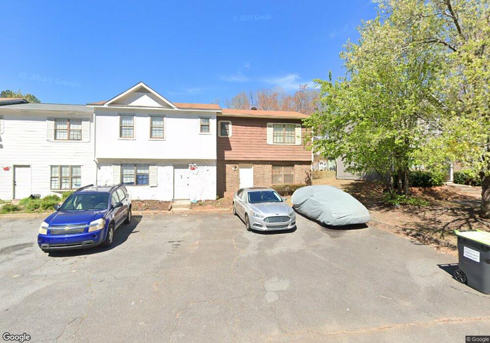
1994 Padgett Dr Unit 1 Austell, GA 30106
Estimated Value: $159,000 - $213,000
2
Beds
2
Baths
1,078
Sq Ft
$167/Sq Ft
Est. Value
About This Home
This home is located at 1994 Padgett Dr Unit 1, Austell, GA 30106 and is currently estimated at $179,885, approximately $166 per square foot. 1994 Padgett Dr Unit 1 is a home located in Cobb County with nearby schools including Deerwood Elementary School, Clarkdale Elementary School, and Garrett Middle School.
Ownership History
Date
Name
Owned For
Owner Type
Purchase Details
Closed on
May 25, 2018
Sold by
Waldron Betty
Bought by
West Cobb Bvw Llc
Current Estimated Value
Purchase Details
Closed on
Apr 29, 2010
Sold by
Federal Natl Mtg Assn Fnma
Bought by
Waldron Betty
Purchase Details
Closed on
Mar 2, 2010
Sold by
Citimortgage
Bought by
Federal Natl Mtg Assn Fnma
Purchase Details
Closed on
Jan 4, 2002
Sold by
Spicewood 13 Inc
Bought by
Tillman James M
Home Financials for this Owner
Home Financials are based on the most recent Mortgage that was taken out on this home.
Original Mortgage
$45,600
Interest Rate
7.02%
Mortgage Type
New Conventional
Create a Home Valuation Report for This Property
The Home Valuation Report is an in-depth analysis detailing your home's value as well as a comparison with similar homes in the area
Home Values in the Area
Average Home Value in this Area
Purchase History
| Date | Buyer | Sale Price | Title Company |
|---|---|---|---|
| West Cobb Bvw Llc | -- | -- | |
| Waldron Betty | -- | -- | |
| Federal Natl Mtg Assn Fnma | -- | -- | |
| Citimortgage | $46,517 | -- | |
| Tillman James M | $57,000 | -- |
Source: Public Records
Mortgage History
| Date | Status | Borrower | Loan Amount |
|---|---|---|---|
| Previous Owner | Tillman James M | $45,600 |
Source: Public Records
Tax History Compared to Growth
Tax History
| Year | Tax Paid | Tax Assessment Tax Assessment Total Assessment is a certain percentage of the fair market value that is determined by local assessors to be the total taxable value of land and additions on the property. | Land | Improvement |
|---|---|---|---|---|
| 2025 | $1,837 | $60,960 | $16,000 | $44,960 |
| 2024 | $1,838 | $60,960 | $16,000 | $44,960 |
| 2023 | $1,657 | $54,952 | $10,000 | $44,952 |
| 2022 | $678 | $22,344 | $4,000 | $18,344 |
| 2021 | $678 | $22,344 | $4,000 | $18,344 |
| 2020 | $635 | $20,916 | $4,000 | $16,916 |
| 2019 | $635 | $20,916 | $4,000 | $16,916 |
| 2018 | $635 | $20,916 | $4,000 | $16,916 |
| 2017 | $470 | $16,352 | $4,000 | $12,352 |
| 2016 | $470 | $16,352 | $4,000 | $12,352 |
| 2015 | $482 | $16,352 | $4,000 | $12,352 |
| 2014 | $486 | $16,352 | $0 | $0 |
Source: Public Records
Map
Nearby Homes
- 1994 Padgett Dr
- 1996 Padgett Dr
- 1992 Padgett Dr Unit 1972
- 1992 Padgett Dr
- 1998 Padgett Dr
- 1990 Padgett Dr
- 2000 Padgett Dr
- 1988 Padgett Dr
- 2093 Lenoa Ln
- 2095 Lenoa Ln
- 2091 Lenoa Ln
- 2097 Lenoa Ln
- 2089 Lenoa Ln
- 1986 Padgett Dr Unit 4
- 1986 Padgett Dr
- 1986 Padgett Dr Unit 1986
- 2099 Lenoa Ln
- 2087 Lenoa Ln
- 1993 Padgett Dr
- 1997 Padgett Dr