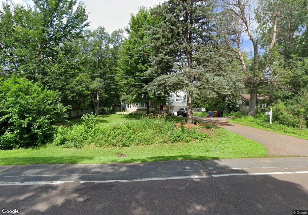
1995 Prosperity Rd Saint Paul, MN 55109
Gladstone NeighborhoodEstimated Value: $353,000 - $392,000
3
Beds
2
Baths
1,613
Sq Ft
$229/Sq Ft
Est. Value
About This Home
This home is located at 1995 Prosperity Rd, Saint Paul, MN 55109 and is currently estimated at $370,102, approximately $229 per square foot. 1995 Prosperity Rd is a home located in Ramsey County with nearby schools including Weaver Elementary School, John Glenn Middle School, and Mounds Park Academy.
Ownership History
Date
Name
Owned For
Owner Type
Purchase Details
Closed on
Aug 16, 2019
Sold by
East And West Llc
Bought by
Little Christine M
Current Estimated Value
Home Financials for this Owner
Home Financials are based on the most recent Mortgage that was taken out on this home.
Original Mortgage
$270,754
Outstanding Balance
$237,616
Interest Rate
3.8%
Mortgage Type
FHA
Estimated Equity
$132,486
Purchase Details
Closed on
Mar 4, 2019
Sold by
Federal Home Loan Mortgage Corporation
Bought by
East And West Llc
Home Financials for this Owner
Home Financials are based on the most recent Mortgage that was taken out on this home.
Original Mortgage
$173,000
Interest Rate
4.4%
Purchase Details
Closed on
Sep 25, 2018
Sold by
Isham Pamela and Popham Michael
Bought by
Loancare Llc
Create a Home Valuation Report for This Property
The Home Valuation Report is an in-depth analysis detailing your home's value as well as a comparison with similar homes in the area
Home Values in the Area
Average Home Value in this Area
Purchase History
| Date | Buyer | Sale Price | Title Company |
|---|---|---|---|
| Little Christine M | $275,752 | Entitle Inc | |
| East And West Llc | -- | None Available | |
| Loancare Llc | -- | None Available |
Source: Public Records
Mortgage History
| Date | Status | Borrower | Loan Amount |
|---|---|---|---|
| Open | Little Christine M | $270,754 | |
| Previous Owner | East And West Llc | $173,000 |
Source: Public Records
Tax History Compared to Growth
Tax History
| Year | Tax Paid | Tax Assessment Tax Assessment Total Assessment is a certain percentage of the fair market value that is determined by local assessors to be the total taxable value of land and additions on the property. | Land | Improvement |
|---|---|---|---|---|
| 2025 | $4,918 | $370,400 | $75,800 | $294,600 |
| 2023 | $4,918 | $349,600 | $75,800 | $273,800 |
| 2022 | $3,994 | $317,500 | $75,800 | $241,700 |
| 2021 | $3,862 | $276,400 | $75,800 | $200,600 |
| 2020 | $3,082 | $273,400 | $75,800 | $197,600 |
| 2019 | $2,816 | $210,900 | $75,800 | $135,100 |
| 2018 | $2,900 | $197,800 | $75,800 | $122,000 |
| 2017 | $2,666 | $197,800 | $75,800 | $122,000 |
| 2016 | $2,616 | $0 | $0 | $0 |
| 2015 | $2,638 | $174,700 | $69,600 | $105,100 |
| 2014 | $2,572 | $0 | $0 | $0 |
Source: Public Records
Map
Nearby Homes
- 1984 Prosperity Rd
- 1940 Barclay St
- 1937 Flandrau St
- 1849 Kennard St
- 1854 Barclay St
- 1467 County Road B E
- 1869 Birmingham St
- 1856 Flandrau St
- 1509 Sandhurst Ave E
- 1666 Laurie Rd E
- 1496 Laurie Rd E
- 1694 Laurie Rd E
- 1870 Clarence St
- 1435 Price Ave
- 1751 Clarence St
- 1627 Christie Place
- 1672 Manton St
- 1740 English St
- 1201 Frost Ave
- 1247 Lealand Rd E
- 1985 Prosperity Rd
- 1999 Prosperity Rd
- 2005 Prosperity Rd
- 1977 Prosperity Rd
- 2000 Hazelwood St
- 1988 Hazelwood St
- 1978 Prosperity Rd
- 2011 Prosperity Rd
- 1994 Prosperity Rd
- 1970 Prosperity Rd
- 1980 Hazelwood St
- 0 Prosperity Rd N Unit 4031253
- 0 Prosperity Rd N Unit 4424670
- 0 Prosperity Rd N Unit 3529694
- 0 Prosperity Rd N Unit 4578500
- 2010 Hazelwood St
- 1965 Prosperity Rd
- 1998 Prosperity Rd
- 1962 Prosperity Rd
- 2018 Hazelwood St