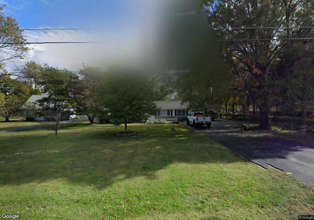
1998 Brookside Dr Independence, KS 67301
Estimated Value: $127,051 - $175,000
3
Beds
1
Bath
1,456
Sq Ft
$106/Sq Ft
Est. Value
About This Home
This home is located at 1998 Brookside Dr, Independence, KS 67301 and is currently estimated at $154,263, approximately $105 per square foot. 1998 Brookside Dr is a home located in Montgomery County with nearby schools including Eisenhower Elementary School, Independence Middle School, and Independence Senior High School.
Ownership History
Date
Name
Owned For
Owner Type
Purchase Details
Closed on
Sep 30, 2007
Sold by
Broadaway Gerald and Broadaway Elsie
Bought by
Henry Robert K and Henry Brenda
Current Estimated Value
Home Financials for this Owner
Home Financials are based on the most recent Mortgage that was taken out on this home.
Original Mortgage
$78,800
Outstanding Balance
$49,248
Interest Rate
6.32%
Mortgage Type
Purchase Money Mortgage
Estimated Equity
$105,015
Create a Home Valuation Report for This Property
The Home Valuation Report is an in-depth analysis detailing your home's value as well as a comparison with similar homes in the area
Purchase History
| Date | Buyer | Sale Price | Title Company |
|---|---|---|---|
| Henry Robert K | -- | -- |
Source: Public Records
Mortgage History
| Date | Status | Borrower | Loan Amount |
|---|---|---|---|
| Open | Henry Robert K | $78,800 |
Source: Public Records
Tax History
| Year | Tax Paid | Tax Assessment Tax Assessment Total Assessment is a certain percentage of the fair market value that is determined by local assessors to be the total taxable value of land and additions on the property. | Land | Improvement |
|---|---|---|---|---|
| 2025 | $1,580 | $13,533 | $1,640 | $11,893 |
| 2024 | $16 | $12,953 | $1,640 | $11,313 |
| 2023 | $1,312 | $12,219 | $1,640 | $10,579 |
| 2022 | $1,312 | $9,653 | $1,582 | $8,071 |
| 2021 | $3,880 | $8,393 | $1,904 | $6,489 |
| 2020 | $3,880 | $8,394 | $2,187 | $6,207 |
| 2019 | $1,204 | $8,311 | $1,571 | $6,740 |
| 2018 | $1,290 | $8,964 | $1,260 | $7,704 |
| 2017 | $1,253 | $8,926 | $1,260 | $7,666 |
| 2016 | $1,238 | $8,783 | $1,260 | $7,523 |
| 2015 | -- | $9,023 | $1,260 | $7,763 |
| 2014 | -- | $9,050 | $1,260 | $7,790 |
Source: Public Records
Map
Nearby Homes
- 4029 Cr 3730
- 4029 County Road 3730
- 4028 Cr 3745
- 00000 Cr 3925
- 418 S 13th St
- 308 S 16th St
- 509 S 8th St
- 4003 Cr 4055 N A
- 216 S 14th St
- 515 W Maple St
- 905 W Main St
- 118 S 11th St
- 3222 W Main St
- 704 W Main St
- 00000C Liberty Ln
- 509 W Myrtle St
- 208 N 13th St
- 215 S 5th St
- 00000A American Way
- 00000B American Way
- 2004 Brookside Dr
- 4032 Cr 3730 N A
- 1966 Brookside Dr
- 4028 Cr 3730
- 4037 Cr 3730
- 4033 County Road 3745 N A
- 1902 Brookside Dr
- 2005 Brookside Dr
- 1959 Brookside Dr
- 4026 Cr 3730
- 4035 Cr 3745
- 4033 Cr 3745
- 1951 S 17th St
- 1876 Brookside Dr
- 2003 S 17th St
- 1969 S 17th St
- 2102 Brookside Dr
- 2047 S 17th St
- 1891 Brookside Dr
- 1861 S 17th St
Your Personal Tour Guide
Ask me questions while you tour the home.