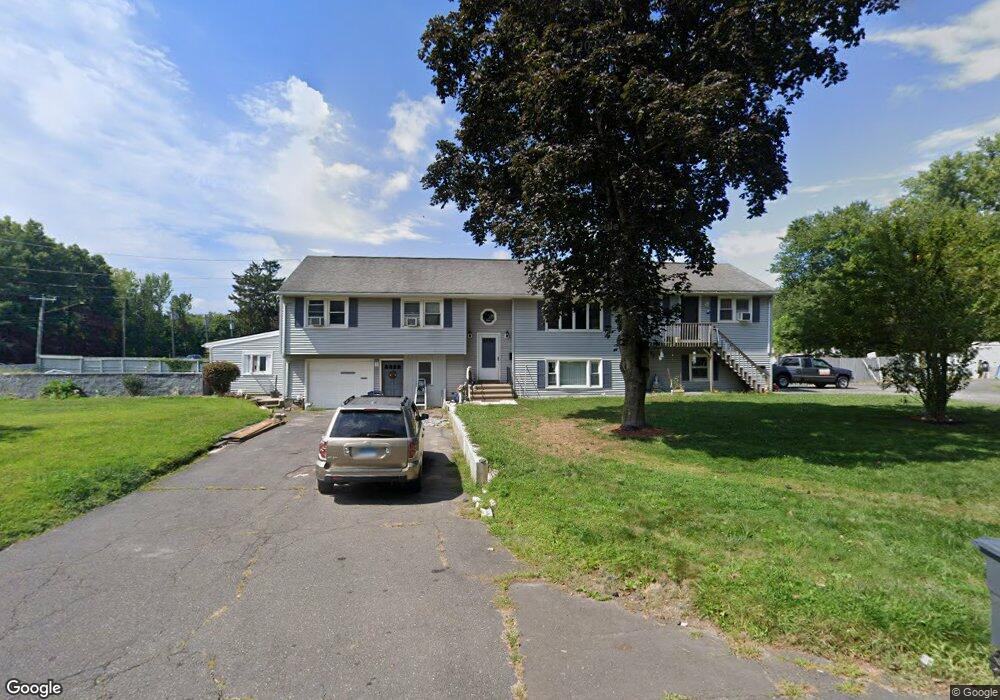
1A Glenwood St Enfield, CT 06082
Estimated Value: $422,000 - $511,000
4
Beds
4
Baths
1,962
Sq Ft
$241/Sq Ft
Est. Value
About This Home
This home is located at 1A Glenwood St, Enfield, CT 06082 and is currently estimated at $473,153, approximately $241 per square foot. 1A Glenwood St is a home located in Hartford County with nearby schools including Prudence Crandall Elementary School, Nathan Hale Elementary School, and John F. Kennedy Middle School.
Ownership History
Date
Name
Owned For
Owner Type
Purchase Details
Closed on
Jun 14, 2024
Sold by
Adams Roger C
Bought by
Collins Christopher W and Collins Nicole C
Current Estimated Value
Home Financials for this Owner
Home Financials are based on the most recent Mortgage that was taken out on this home.
Original Mortgage
$376,000
Outstanding Balance
$371,383
Interest Rate
7.22%
Mortgage Type
Purchase Money Mortgage
Estimated Equity
$101,770
Purchase Details
Closed on
Jun 22, 2022
Sold by
Morin Elizabeth J
Bought by
Morin Paul A
Create a Home Valuation Report for This Property
The Home Valuation Report is an in-depth analysis detailing your home's value as well as a comparison with similar homes in the area
Home Values in the Area
Average Home Value in this Area
Purchase History
| Date | Buyer | Sale Price | Title Company |
|---|---|---|---|
| Collins Christopher W | $470,000 | None Available | |
| Collins Christopher W | $470,000 | None Available | |
| Morin Paul A | -- | None Available | |
| Morin Paul A | -- | None Available |
Source: Public Records
Mortgage History
| Date | Status | Borrower | Loan Amount |
|---|---|---|---|
| Open | Collins Christopher W | $376,000 | |
| Closed | Collins Christopher W | $376,000 |
Source: Public Records
Tax History Compared to Growth
Tax History
| Year | Tax Paid | Tax Assessment Tax Assessment Total Assessment is a certain percentage of the fair market value that is determined by local assessors to be the total taxable value of land and additions on the property. | Land | Improvement |
|---|---|---|---|---|
| 2025 | $8,729 | $245,900 | $64,100 | $181,800 |
| 2024 | $8,744 | $253,000 | $64,100 | $188,900 |
| 2023 | $8,693 | $253,000 | $64,100 | $188,900 |
| 2022 | $8,005 | $253,000 | $64,100 | $188,900 |
| 2021 | $8,063 | $208,720 | $52,970 | $155,750 |
| 2020 | $7,979 | $208,720 | $52,970 | $155,750 |
| 2019 | $7,771 | $208,720 | $52,970 | $155,750 |
| 2018 | $7,597 | $208,720 | $52,970 | $155,750 |
| 2017 | $7,186 | $208,720 | $52,970 | $155,750 |
| 2016 | $6,904 | $208,200 | $52,970 | $155,230 |
| 2015 | $6,702 | $208,200 | $52,970 | $155,230 |
| 2014 | $6,544 | $208,200 | $52,970 | $155,230 |
Source: Public Records
Map
Nearby Homes
- 7 Oakwood St
- 13 Candlewood Dr
- 8 Gary Rd
- 7 Georgetown Dr Unit H
- 2 Georgetown Dr Unit G
- 99 the Laurels
- 39 Quail Hollow Unit 39
- 3 Georgetown Dr Unit H
- 179 Elm St
- 25 Ridge Rd
- 12 the Laurels Unit 12
- 16 Nancy Dr
- 16 Saint Thomas St
- 102 N Maple St Unit 8B
- 102 N Maple St Unit 11B
- 17 Arthur Ave
- 40 Oxford Dr
- 50 Liberty Ln
- 42 Oxford Dr
- 39 Liberty Ln