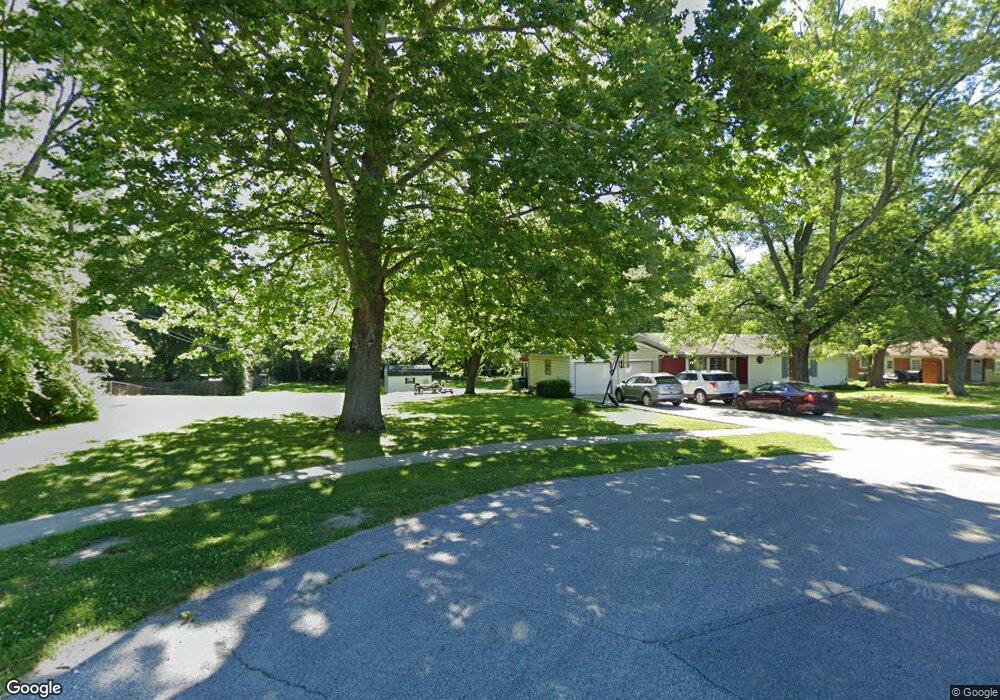
1B Michael Dr Plainfield, IN 46168
Estimated Value: $302,000 - $339,000
3
Beds
2
Baths
1,658
Sq Ft
$191/Sq Ft
Est. Value
About This Home
This home is located at 1B Michael Dr, Plainfield, IN 46168 and is currently estimated at $317,200, approximately $191 per square foot. 1B Michael Dr is a home located in Hendricks County with nearby schools including Clarks Creek Elementary, Plainfield Community Middle School, and Plainfield High School.
Ownership History
Date
Name
Owned For
Owner Type
Purchase Details
Closed on
Nov 10, 2023
Sold by
Underwood Jeffery A and Underwood Dianna M
Bought by
Underwood Family Living Trust and Underwood
Current Estimated Value
Purchase Details
Closed on
Dec 3, 2021
Sold by
Copeland Robert D and Copeland Mary Rochelle
Bought by
Underwood Jeffery A and Underwood Dianna M
Purchase Details
Closed on
Jul 14, 2010
Sold by
Copeland Robert D and Copeland Mary Rochelle
Bought by
Copeland Robert D and Copeland Mary Rochelle
Purchase Details
Closed on
Feb 21, 2008
Sold by
Fannie Mae
Bought by
Copeland Robert D and Hamilton Mary Rochelle
Home Financials for this Owner
Home Financials are based on the most recent Mortgage that was taken out on this home.
Original Mortgage
$71,600
Interest Rate
5.75%
Mortgage Type
New Conventional
Purchase Details
Closed on
Nov 15, 2007
Sold by
Mcelravy Aaron D
Bought by
Federal National Mortgage Association
Create a Home Valuation Report for This Property
The Home Valuation Report is an in-depth analysis detailing your home's value as well as a comparison with similar homes in the area
Home Values in the Area
Average Home Value in this Area
Purchase History
| Date | Buyer | Sale Price | Title Company |
|---|---|---|---|
| Underwood Family Living Trust | -- | None Listed On Document | |
| Underwood Jeffery A | $255,000 | None Available | |
| Copeland Robert D | -- | None Available | |
| Copeland Robert D | -- | None Available | |
| Federal National Mortgage Association | $98,132 | None Available |
Source: Public Records
Mortgage History
| Date | Status | Borrower | Loan Amount |
|---|---|---|---|
| Previous Owner | Copeland Robert D | $71,600 |
Source: Public Records
Tax History
| Year | Tax Paid | Tax Assessment Tax Assessment Total Assessment is a certain percentage of the fair market value that is determined by local assessors to be the total taxable value of land and additions on the property. | Land | Improvement |
|---|---|---|---|---|
| 2025 | $1,730 | $268,100 | $27,800 | $240,300 |
| 2024 | $1,730 | $255,800 | $27,800 | $228,000 |
| 2023 | $1,696 | $221,700 | $26,400 | $195,300 |
| 2022 | $2,066 | $210,900 | $25,200 | $185,700 |
| 2021 | $1,708 | $183,700 | $25,200 | $158,500 |
| 2020 | $1,443 | $162,400 | $25,200 | $137,200 |
| 2019 | $1,292 | $151,700 | $18,600 | $133,100 |
| 2018 | $1,333 | $151,500 | $18,600 | $132,900 |
| 2017 | $1,309 | $145,400 | $17,900 | $127,500 |
| 2016 | $1,246 | $141,000 | $17,900 | $123,100 |
| 2014 | $1,102 | $127,700 | $17,900 | $109,800 |
Source: Public Records
Map
Nearby Homes
- 1710 Beechwood Dr
- 324 Lawndale Dr
- 408 Linden Ln
- 1713 Sycamore Dr
- 2644 Prism Way
- 2654 Prism Way
- 2674 Prism Way
- 2686 Prism Way
- 9086 Anthem Ave
- 504 Magnolia Dr
- 407 Dunn St
- 446 Breakwater Dr
- 522 Breakwater Dr
- 1429 Blackthorne Trail N
- 473 Seagrape Ln
- 2234 Galleone Way
- 537 Seagrape Ln
- 497 Regatta Ln
- 513 Regatta Ln
- 2206 Galleone Way
Your Personal Tour Guide
Ask me questions while you tour the home.