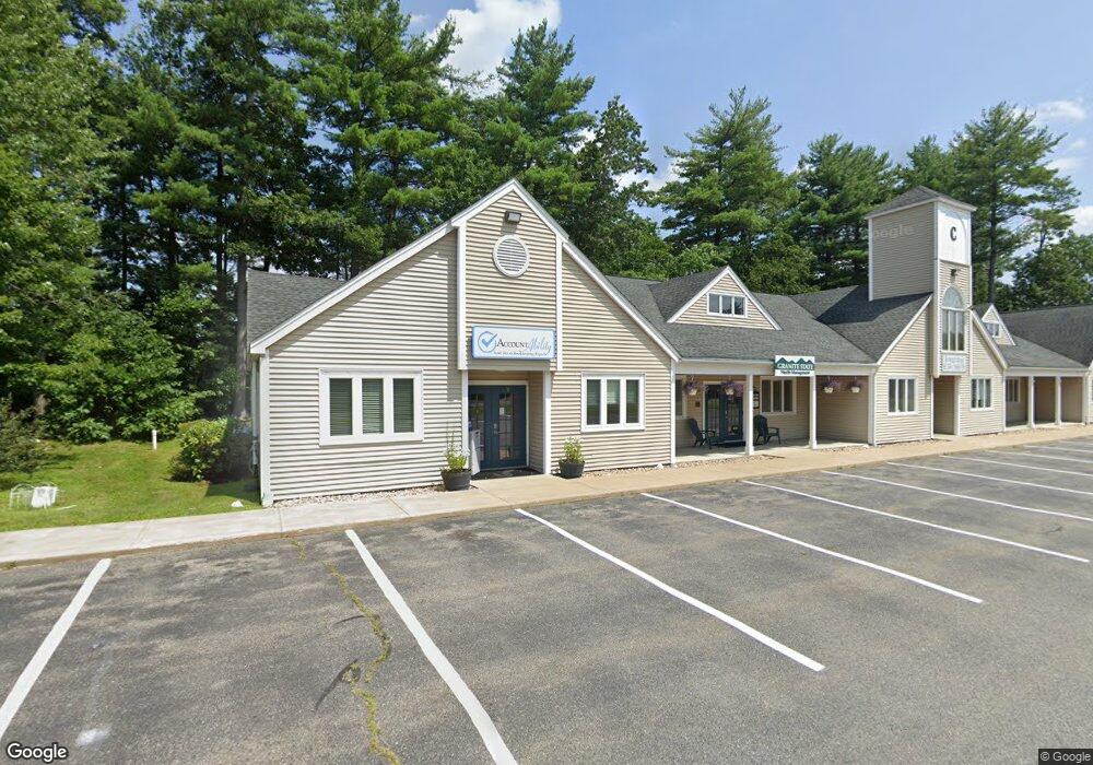
1C Commons Dr Unit 17 Londonderry, NH 03053
Estimated Value: $219,030
--
Bed
1
Bath
1,200
Sq Ft
$183/Sq Ft
Est. Value
About This Home
This home is located at 1C Commons Dr Unit 17, Londonderry, NH 03053 and is currently estimated at $219,030, approximately $182 per square foot. 1C Commons Dr Unit 17 is a home located in Rockingham County with nearby schools including Matthew Thornton Elementary School, Londonderry Middle School, and Londonderry Senior High School.
Ownership History
Date
Name
Owned For
Owner Type
Purchase Details
Closed on
Oct 24, 2016
Sold by
1C Commons Dr Unit 17
Bought by
Teddy Realty Llc
Current Estimated Value
Home Financials for this Owner
Home Financials are based on the most recent Mortgage that was taken out on this home.
Original Mortgage
$96,213
Outstanding Balance
$12,089
Interest Rate
3.44%
Mortgage Type
Commercial
Estimated Equity
$208,291
Create a Home Valuation Report for This Property
The Home Valuation Report is an in-depth analysis detailing your home's value as well as a comparison with similar homes in the area
Home Values in the Area
Average Home Value in this Area
Purchase History
| Date | Buyer | Sale Price | Title Company |
|---|---|---|---|
| Teddy Realty Llc | $107,000 | -- |
Source: Public Records
Mortgage History
| Date | Status | Borrower | Loan Amount |
|---|---|---|---|
| Open | Teddy Realty Llc | $96,213 |
Source: Public Records
Tax History Compared to Growth
Tax History
| Year | Tax Paid | Tax Assessment Tax Assessment Total Assessment is a certain percentage of the fair market value that is determined by local assessors to be the total taxable value of land and additions on the property. | Land | Improvement |
|---|---|---|---|---|
| 2024 | $2,392 | $148,200 | $0 | $148,200 |
| 2023 | $2,319 | $148,200 | $0 | $148,200 |
| 2022 | $2,280 | $123,400 | $0 | $123,400 |
| 2021 | $2,268 | $123,400 | $0 | $123,400 |
| 2020 | $2,478 | $123,200 | $0 | $123,200 |
| 2019 | $2,389 | $123,200 | $0 | $123,200 |
| 2018 | $2,947 | $135,200 | $0 | $135,200 |
| 2017 | $2,922 | $135,200 | $0 | $135,200 |
| 2016 | $2,907 | $135,200 | $0 | $135,200 |
| 2015 | $2,842 | $135,200 | $0 | $135,200 |
| 2014 | $2,851 | $135,200 | $0 | $135,200 |
| 2011 | -- | $117,600 | $0 | $117,600 |
Source: Public Records
Map
Nearby Homes
- 40 Elise Ave Unit Lot 20
- 1 Elise Ave Unit Lot 96
- 36 Elise Ave Unit Lot 18
- 7 Elise Ave Unit Lot 93
- 8 Elise Ave Unit Lot 4
- 107a Gilcreast Rd Unit A
- 14 Elise Ave Unit 7
- 12 Elise Ave Unit 6
- 6 Sugar Plum Ln
- 267 Winding Pond Rd
- 47 Winding Pond Rd
- 20 Mercury Dr Unit 20
- 12 Morrison Dr
- 214 Winding Pond Rd
- 111 Winterwood Dr
- 24 Sheffield Way
- 24 Jefferson St
- 65 Fordway Extension Unit 211
- 83 Beech Terrace
- 37 Highland Ave Unit 1
- 1B Commons Dr Unit 12B
- 1B Commons Dr Unit 12B
- 1 Commons Dr
- 1c Commons Dr Unit C
- 1C Commons Dr
- 1B Commons Dr Unit 13A
- 1F Commons Dr Unit 38
- 1B Commons Dr Unit 12B
- 1C Commons Dr Unit 23
- 1C Commons Dr Unit 19
- 1B Commons Dr Unit 6
- 1C Commons Dr Unit 15-16
- 1c Commons Dr Unit 18
- 1c Commons Dr
- 1F Commons Dr
- 1 Commons Dr
- 1C Commons Drive U 17 C-584
- 1C Commons Dr Suite 14 (C-602)
- 1C Commons Dr Unit 17 (C-648)
- 1C Commons Drive C-584 Unit 17