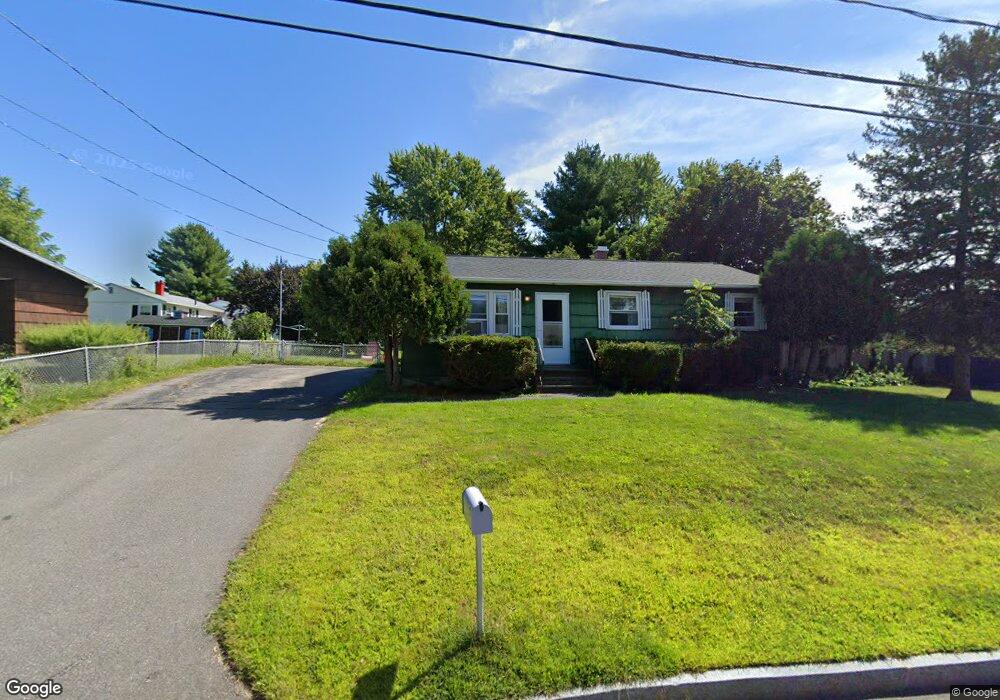
2 Applevale Dr Dover, NH 03820
Dover Point NeighborhoodEstimated Value: $402,938 - $445,000
3
Beds
2
Baths
912
Sq Ft
$465/Sq Ft
Est. Value
About This Home
This home is located at 2 Applevale Dr, Dover, NH 03820 and is currently estimated at $424,235, approximately $465 per square foot. 2 Applevale Dr is a home located in Strafford County with nearby schools including Garrison School, Dover Middle School, and Dover Senior High School.
Ownership History
Date
Name
Owned For
Owner Type
Purchase Details
Closed on
Dec 2, 1996
Sold by
Plante Louis and Plante Lorraine O
Bought by
Molleo David A and Molleo Judy M
Current Estimated Value
Home Financials for this Owner
Home Financials are based on the most recent Mortgage that was taken out on this home.
Original Mortgage
$92,800
Outstanding Balance
$9,535
Interest Rate
7.82%
Estimated Equity
$414,700
Create a Home Valuation Report for This Property
The Home Valuation Report is an in-depth analysis detailing your home's value as well as a comparison with similar homes in the area
Home Values in the Area
Average Home Value in this Area
Purchase History
| Date | Buyer | Sale Price | Title Company |
|---|---|---|---|
| Molleo David A | $91,000 | -- |
Source: Public Records
Mortgage History
| Date | Status | Borrower | Loan Amount |
|---|---|---|---|
| Open | Molleo David A | $92,800 |
Source: Public Records
Tax History
| Year | Tax Paid | Tax Assessment Tax Assessment Total Assessment is a certain percentage of the fair market value that is determined by local assessors to be the total taxable value of land and additions on the property. | Land | Improvement |
|---|---|---|---|---|
| 2024 | $6,923 | $381,000 | $173,800 | $207,200 |
| 2023 | $6,193 | $331,200 | $158,000 | $173,200 |
| 2022 | $6,075 | $306,200 | $150,100 | $156,100 |
| 2021 | $5,685 | $262,000 | $126,400 | $135,600 |
| 2020 | $5,591 | $225,000 | $114,600 | $110,400 |
| 2019 | $5,512 | $218,800 | $110,600 | $108,200 |
| 2018 | $5,139 | $206,200 | $102,700 | $103,500 |
| 2017 | $4,845 | $187,300 | $86,900 | $100,400 |
| 2016 | $4,590 | $174,600 | $83,200 | $91,400 |
| 2015 | $4,476 | $168,200 | $79,000 | $89,200 |
| 2014 | $4,375 | $168,200 | $79,000 | $89,200 |
| 2011 | $3,936 | $156,700 | $67,200 | $89,500 |
Source: Public Records
Map
Nearby Homes
- 15 Teresa Dr
- 6 Hayden Dr
- 55 Pointe Place Unit 108
- 55 Pointe Place Unit 101
- 55 Pointe Place Unit 201
- 55 Pointe Place Unit 304
- 13 Stark Ave
- 51 Constitution Way
- 6 Revolution Dr
- 1 Independence Dr
- 14 Independence Dr
- 99 Back River Rd
- 20 Lenox Dr Unit c
- 22 Lenox Dr Unit D
- 29 Lenox Dr Unit B
- 16 Lenox Dr Unit C
- 15 Lenox Dr Unit A
- 26 Lenox Dr Unit D
- 23 Lenox Dr Unit A
- 181 Central Ave
- 4 Applevale Dr
- 17 Middlebrook Rd
- 19 Middlebrook Rd
- 6 Applevale Dr
- 21 Middlebrook Rd
- 1 Applevale Dr
- 3 Applevale Dr
- 2 Winston Ave
- 15 Middlebrook Rd
- 4 Winston Ave
- 8 Applevale Dr
- 1 Newport Rd
- 16 Middlebrook Rd
- 23 Middlebrook Rd
- 5 Applevale Dr
- 13 Middlebrook Rd
- 6 Winston Ave
- 2 Newport Rd
- 7 Applevale Dr
- 0 Middlebrook Rd Unit Lot 42-A
Your Personal Tour Guide
Ask me questions while you tour the home.