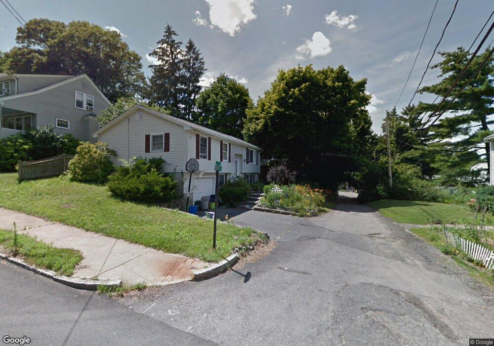
2 Boundary Rd Arlington, MA 02476
Arlington Heights NeighborhoodEstimated Value: $862,000 - $955,000
3
Beds
2
Baths
1,587
Sq Ft
$564/Sq Ft
Est. Value
About This Home
This home is located at 2 Boundary Rd, Arlington, MA 02476 and is currently estimated at $895,060, approximately $563 per square foot. 2 Boundary Rd is a home located in Middlesex County with nearby schools including Dallin Elementary School, Ottoson Middle School, and Arlington High School.
Ownership History
Date
Name
Owned For
Owner Type
Purchase Details
Closed on
Aug 12, 1998
Sold by
Butler Byran
Bought by
Gingrande Franklin and Gingrande Ju Saffa
Current Estimated Value
Home Financials for this Owner
Home Financials are based on the most recent Mortgage that was taken out on this home.
Original Mortgage
$110,000
Interest Rate
6.94%
Mortgage Type
Purchase Money Mortgage
Purchase Details
Closed on
Mar 27, 1996
Sold by
Reeve Maureen A and Reeve Richard S
Bought by
Butler Bryan
Create a Home Valuation Report for This Property
The Home Valuation Report is an in-depth analysis detailing your home's value as well as a comparison with similar homes in the area
Home Values in the Area
Average Home Value in this Area
Purchase History
| Date | Buyer | Sale Price | Title Company |
|---|---|---|---|
| Gingrande Franklin | $224,000 | -- | |
| Gingrande Franklin | $224,000 | -- | |
| Butler Bryan | $206,000 | -- | |
| Butler Bryan | $206,000 | -- |
Source: Public Records
Mortgage History
| Date | Status | Borrower | Loan Amount |
|---|---|---|---|
| Open | Butler Bryan | $100,000 | |
| Closed | Butler Bryan | $110,000 |
Source: Public Records
Tax History
| Year | Tax Paid | Tax Assessment Tax Assessment Total Assessment is a certain percentage of the fair market value that is determined by local assessors to be the total taxable value of land and additions on the property. | Land | Improvement |
|---|---|---|---|---|
| 2025 | $7,920 | $735,400 | $422,400 | $313,000 |
| 2024 | $7,571 | $714,900 | $406,600 | $308,300 |
| 2023 | $7,105 | $633,800 | $380,200 | $253,600 |
| 2022 | $6,843 | $599,200 | $369,600 | $229,600 |
| 2021 | $6,795 | $599,200 | $369,600 | $229,600 |
| 2020 | $6,627 | $599,200 | $369,600 | $229,600 |
| 2019 | $6,565 | $583,000 | $364,300 | $218,700 |
| 2018 | $6,047 | $498,500 | $279,800 | $218,700 |
| 2017 | $6,063 | $482,700 | $264,000 | $218,700 |
| 2016 | $5,908 | $461,600 | $242,900 | $218,700 |
| 2015 | $5,775 | $426,200 | $227,000 | $199,200 |
Source: Public Records
Map
Nearby Homes
- 122 Sylvia St
- 12 Arnold St
- 4 Aerial St
- 120 Massachusetts Ave Unit 120
- 82 Oak St
- 64 Browning Rd
- 451 Appleton St
- 20 Homer Rd
- 211 Florence Ave
- 7 Park Avenue Extension
- 53 Birch Hill Rd
- 1 Watermill Place Unit 312
- 231 Wachusett Ave
- 278 Hillside Ave
- 11 Lowell St Unit B
- 0 Reed St
- 847 Massachusetts Ave
- 120 Crestview Rd
- 4 Beck Rd
- 39 Forest St Unit 39A
- 67 Hibbert St
- 71 Hibbert St
- 66 Hibbert St
- 66 Sylvia St
- 75 Hibbert St
- 57 Hibbert St
- 70 Sylvia St Unit A
- 53 Hibbert St
- 72 Hibbert St
- 72 Sylvia St
- 60 Hibbert St
- 74 Sylvia St
- 40 Sylvia St
- 56 Hibbert St
- 76 Hibbert St Unit 78
- 79 Hibbert St
- 79 Hibbert St Unit 1
- 81 Hibbert St
- 78 Hibbert St Unit 2
- 28 Sylvia St
Your Personal Tour Guide
Ask me questions while you tour the home.