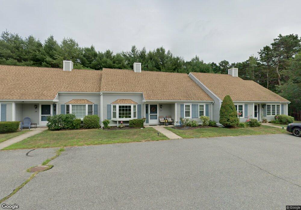
2 Browning Ct Unit D Pocasset, MA 02559
Pocasset NeighborhoodEstimated Value: $417,000 - $437,000
2
Beds
2
Baths
1,284
Sq Ft
$331/Sq Ft
Est. Value
About This Home
This home is located at 2 Browning Ct Unit D, Pocasset, MA 02559 and is currently estimated at $425,358, approximately $331 per square foot. 2 Browning Ct Unit D is a home located in Barnstable County with nearby schools including Bourne High School, Cadence Academy Preschool - Bourne, and St Margaret Regional School.
Ownership History
Date
Name
Owned For
Owner Type
Purchase Details
Closed on
May 20, 2005
Sold by
Dexter Leonard C and Dexter Virginia M
Bought by
Tishkevich Frances M
Current Estimated Value
Home Financials for this Owner
Home Financials are based on the most recent Mortgage that was taken out on this home.
Original Mortgage
$167,000
Outstanding Balance
$87,689
Interest Rate
5.95%
Mortgage Type
Purchase Money Mortgage
Estimated Equity
$337,669
Purchase Details
Closed on
Mar 30, 1995
Sold by
Pjm Rt and Medeiros Paul J
Bought by
Dexter Leonard C and Dexter Virginia M
Create a Home Valuation Report for This Property
The Home Valuation Report is an in-depth analysis detailing your home's value as well as a comparison with similar homes in the area
Home Values in the Area
Average Home Value in this Area
Purchase History
| Date | Buyer | Sale Price | Title Company |
|---|---|---|---|
| Tishkevich Frances M | $282,000 | -- | |
| Dexter Leonard C | $95,000 | -- |
Source: Public Records
Mortgage History
| Date | Status | Borrower | Loan Amount |
|---|---|---|---|
| Open | Tishkevich Frances M | $167,000 |
Source: Public Records
Tax History Compared to Growth
Tax History
| Year | Tax Paid | Tax Assessment Tax Assessment Total Assessment is a certain percentage of the fair market value that is determined by local assessors to be the total taxable value of land and additions on the property. | Land | Improvement |
|---|---|---|---|---|
| 2025 | $2,841 | $363,800 | $0 | $363,800 |
| 2024 | $2,702 | $336,900 | $0 | $336,900 |
| 2023 | $2,654 | $301,300 | $0 | $301,300 |
| 2022 | $2,799 | $277,400 | $0 | $277,400 |
| 2021 | $2,766 | $256,800 | $0 | $256,800 |
| 2020 | $2,720 | $253,300 | $0 | $253,300 |
| 2019 | $2,312 | $220,000 | $0 | $220,000 |
| 2018 | $2,202 | $208,900 | $0 | $208,900 |
| 2017 | $2,116 | $205,400 | $0 | $205,400 |
| 2016 | $1,969 | $193,800 | $0 | $193,800 |
| 2015 | $1,952 | $193,800 | $0 | $193,800 |
Source: Public Records
Map
Nearby Homes
- 7 Portside Dr
- 7 4th Ave
- 15 1st St
- 174 Barlows Landing Rd
- 940 County Rd
- 709 County Rd
- 940 County Rd
- 254 Barlows Landing Rd
- 39 Bennets Neck Dr
- 16 Tara Terrace
- 93 Valley Bars Rd
- 515 County Rd
- 501 County Rd
- 30 Howard Ave
- 112 Clay Pond Rd
- 2 Westerly Dr
- 1094 County Rd
- 159 Clay Pond Rd
- 105 Clay Pond Rd
- 159 Clay Pond Rd
- 2 Browning Ct Unit 2C
- 2 Browning Ct Unit C
- 2 Browning Ct Unit B
- 2 Browning Ct Unit A
- 2 Browning Ct Unit 41D
- 2 Browning Ct
- 40 Browning Ct Unit 2C
- 698 Macarthur Blvd
- 3 Browning Ct Unit D
- 3 Browning Ct Unit C
- 3 Browning Ct Unit B
- 3 Browning Ct Unit A
- 3D Browning Ct Unit 3D
- 3 Browning Ct Unit 3A
- 3A Browning Ct Unit A
- 0 Browning Ct Unit 3C 2017464
- 0 Browning Ct
- 694 Macarthur Blvd
- 60 Dickenson Ct
- 4 Browning Ct Unit D