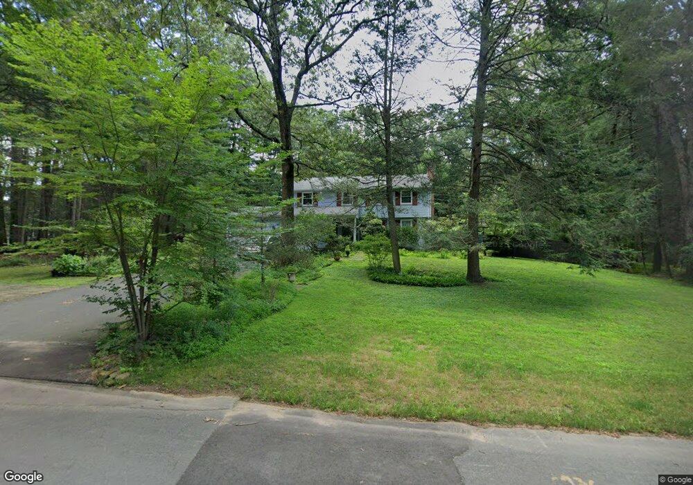
2 Butternut Ln Weatogue, CT 06089
Estimated Value: $492,000 - $609,000
4
Beds
3
Baths
1,988
Sq Ft
$287/Sq Ft
Est. Value
About This Home
This home is located at 2 Butternut Ln, Weatogue, CT 06089 and is currently estimated at $570,361, approximately $286 per square foot. 2 Butternut Ln is a home located in Hartford County with nearby schools including Latimer Lane School, Henry James Memorial School, and Simsbury High School.
Ownership History
Date
Name
Owned For
Owner Type
Purchase Details
Closed on
Jul 26, 2007
Sold by
Delaney Charles J
Bought by
Stone Noubar A and Nordstrom Meri
Current Estimated Value
Home Financials for this Owner
Home Financials are based on the most recent Mortgage that was taken out on this home.
Original Mortgage
$296,250
Interest Rate
6.78%
Mortgage Type
Purchase Money Mortgage
Purchase Details
Closed on
Sep 30, 2003
Sold by
Beal Barbara H
Bought by
Delaney Charles J and Denlaney Megan C
Create a Home Valuation Report for This Property
The Home Valuation Report is an in-depth analysis detailing your home's value as well as a comparison with similar homes in the area
Home Values in the Area
Average Home Value in this Area
Purchase History
| Date | Buyer | Sale Price | Title Company |
|---|---|---|---|
| Stone Noubar A | $395,000 | -- | |
| Delaney Charles J | $345,000 | -- |
Source: Public Records
Mortgage History
| Date | Status | Borrower | Loan Amount |
|---|---|---|---|
| Open | Delaney Charles J | $25,000 | |
| Open | Delaney Charles J | $288,455 | |
| Closed | Delaney Charles J | $296,250 |
Source: Public Records
Tax History Compared to Growth
Tax History
| Year | Tax Paid | Tax Assessment Tax Assessment Total Assessment is a certain percentage of the fair market value that is determined by local assessors to be the total taxable value of land and additions on the property. | Land | Improvement |
|---|---|---|---|---|
| 2025 | $9,503 | $278,180 | $80,500 | $197,680 |
| 2024 | $9,266 | $278,180 | $80,500 | $197,680 |
| 2023 | $8,852 | $278,180 | $80,500 | $197,680 |
| 2022 | $8,469 | $219,240 | $87,500 | $131,740 |
| 2021 | $8,469 | $219,240 | $87,500 | $131,740 |
| 2020 | $8,132 | $219,240 | $87,500 | $131,740 |
| 2019 | $8,182 | $219,240 | $87,500 | $131,740 |
| 2018 | $8,241 | $219,240 | $87,500 | $131,740 |
| 2017 | $7,718 | $199,130 | $85,260 | $113,870 |
| 2016 | $7,392 | $199,130 | $85,260 | $113,870 |
| 2015 | $7,150 | $192,620 | $85,260 | $107,360 |
| 2014 | $7,154 | $192,620 | $85,260 | $107,360 |
Source: Public Records
Map
Nearby Homes
- 3 Minister Brook Dr
- 29 Minister Brook Dr
- 301 Bushy Hill Rd
- 44 Simsbury Manor Dr
- 8 Crane Place
- 15 Sand Hill Rd
- 308 Hopmeadow St
- 4 Adams Rd
- 47 Long View Dr
- 395 Bushy Hill Rd
- 3 Cobtail Way
- 7 Tamarack Ln
- 1 Alcima Dr
- 16 Stratton Forest Way
- 120 Climax Rd
- 3 Stebbins Brook Ln
- 4 Stebbins Brook Ln
- 14 Nod Brook Dr
- 10 Pepperidge Ct
- 269 W Mountain Rd