2 Coffin Pond Rd Freeport, ME 04032
Estimated Value: $574,000 - $1,654,822
2
Beds
1
Bath
2,067
Sq Ft
$568/Sq Ft
Est. Value
About This Home
This home is located at 2 Coffin Pond Rd, Freeport, ME 04032 and is currently estimated at $1,174,206, approximately $568 per square foot. 2 Coffin Pond Rd is a home with nearby schools including Morse Street School, Mast Landing School, and Freeport Middle School.
Ownership History
Date
Name
Owned For
Owner Type
Purchase Details
Closed on
Jun 2, 2025
Sold by
Pope Christopher J
Bought by
Hubbard Harriet
Current Estimated Value
Create a Home Valuation Report for This Property
The Home Valuation Report is an in-depth analysis detailing your home's value as well as a comparison with similar homes in the area
Home Values in the Area
Average Home Value in this Area
Purchase History
| Date | Buyer | Sale Price | Title Company |
|---|---|---|---|
| Hubbard Harriet | $1,800,000 | None Available | |
| Hubbard Harriet | $1,800,000 | None Available |
Source: Public Records
Tax History Compared to Growth
Tax History
| Year | Tax Paid | Tax Assessment Tax Assessment Total Assessment is a certain percentage of the fair market value that is determined by local assessors to be the total taxable value of land and additions on the property. | Land | Improvement |
|---|---|---|---|---|
| 2024 | $5,909 | $442,600 | $174,800 | $267,800 |
| 2023 | $5,456 | $396,800 | $158,900 | $237,900 |
| 2022 | $5,209 | $381,600 | $143,700 | $237,900 |
| 2021 | $4,761 | $381,600 | $143,700 | $237,900 |
| 2020 | $3,339 | $319,100 | $133,200 | $185,900 |
| 2019 | $1,789 | $299,100 | $125,600 | $173,500 |
| 2018 | $3,519 | $266,800 | $117,200 | $149,600 |
| 2017 | $1,636 | $246,200 | $114,600 | $131,600 |
| 2016 | $3,602 | $228,000 | $106,100 | $121,900 |
Source: Public Records
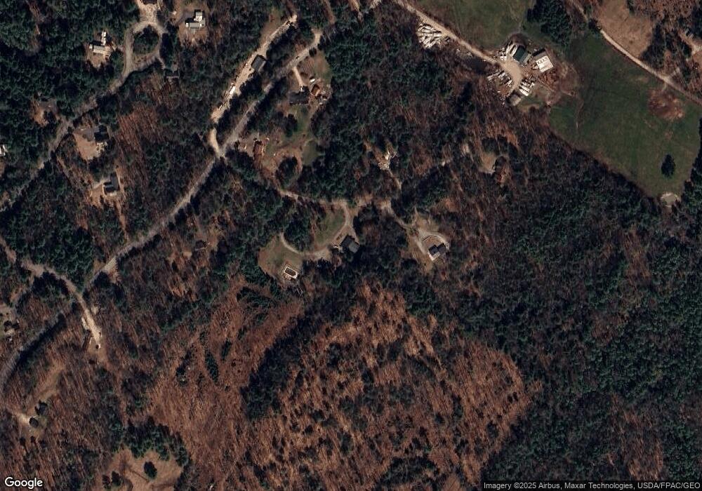
Map
Nearby Homes
- 5 Indian Ridge Rd
- 9 Apple Ridge Rd
- 15 Tinkers Way
- 136 Flying Point Rd
- 11 Orchard Hill Rd
- 0 Prout Rd
- 1260 Us Route 1
- 31 Allen Range Rd
- 12 West St
- Lot # 4 South St
- 0 S Freeport Rd
- 1612 U S Route 1
- 179 Casco Rd
- 42 Durham Rd
- 10 Durham Rd
- 44 Maquoit Dr
- 15 Percy St
- 7 Hideaway Dr
- 83 Central Ave
- 4 Sandy Beach Rd
- 0 Coffin Pond Rd
- 3 Coffin Pond Rd
- 6 Coffin Pond Rd
- 26 Litchfield Rd
- 22 Litchfield Rd
- 30 Litchfield Rd
- 7 Coffin Pond Rd
- 31 Litchfield Rd
- 34 Litchfield Rd
- 42 Intervale Rd
- 58 Intervale Rd
- Lot14 Litchfield Rd
- Lot 9 Litchfield Rd
- Lot 8 Litchfield Rd
- 33 Litchfield Rd
- 19-71 Litchfield (West Lot)
- 19-71 Litchfield (East Lot)
- 35 Litchfield Rd
- 62 Intervale Rd
- 36 Litchfield Rd