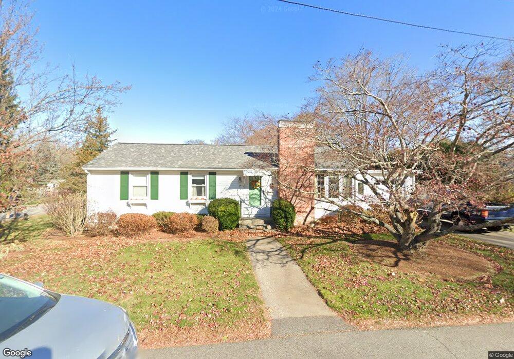
2 Conant Ln Exeter, NH 03833
Estimated Value: $518,509 - $553,000
3
Beds
1
Bath
1,080
Sq Ft
$500/Sq Ft
Est. Value
About This Home
This home is located at 2 Conant Ln, Exeter, NH 03833 and is currently estimated at $540,127, approximately $500 per square foot. 2 Conant Ln is a home located in Rockingham County with nearby schools including Main Street School, Lincoln Street Elementary School, and Cooperative Middle School.
Ownership History
Date
Name
Owned For
Owner Type
Purchase Details
Closed on
Apr 25, 2008
Sold by
Edwards Russell E
Bought by
Eiserman Susan J
Current Estimated Value
Home Financials for this Owner
Home Financials are based on the most recent Mortgage that was taken out on this home.
Original Mortgage
$75,000
Outstanding Balance
$47,060
Interest Rate
6.22%
Mortgage Type
Purchase Money Mortgage
Estimated Equity
$493,067
Create a Home Valuation Report for This Property
The Home Valuation Report is an in-depth analysis detailing your home's value as well as a comparison with similar homes in the area
Home Values in the Area
Average Home Value in this Area
Purchase History
| Date | Buyer | Sale Price | Title Company |
|---|---|---|---|
| Eiserman Susan J | $250,000 | -- |
Source: Public Records
Mortgage History
| Date | Status | Borrower | Loan Amount |
|---|---|---|---|
| Open | Eiserman Susan J | $45,000 | |
| Open | Eiserman Susan J | $75,000 |
Source: Public Records
Tax History
| Year | Tax Paid | Tax Assessment Tax Assessment Total Assessment is a certain percentage of the fair market value that is determined by local assessors to be the total taxable value of land and additions on the property. | Land | Improvement |
|---|---|---|---|---|
| 2024 | $7,849 | $441,200 | $242,900 | $198,300 |
| 2023 | $7,528 | $281,100 | $142,900 | $138,200 |
| 2022 | $6,957 | $281,100 | $142,900 | $138,200 |
| 2021 | $6,749 | $281,100 | $142,900 | $138,200 |
| 2020 | $7,441 | $281,100 | $142,900 | $138,200 |
| 2019 | $6,541 | $281,100 | $142,900 | $138,200 |
| 2018 | $6,001 | $218,200 | $88,300 | $129,900 |
| 2017 | $5,802 | $218,200 | $88,300 | $129,900 |
| 2016 | $5,726 | $218,200 | $88,300 | $129,900 |
| 2015 | $5,573 | $218,200 | $88,300 | $129,900 |
| 2014 | $5,076 | $194,800 | $88,300 | $106,500 |
| 2013 | $5,071 | $194,800 | $88,300 | $106,500 |
| 2011 | $4,925 | $194,800 | $88,300 | $106,500 |
Source: Public Records
Map
Nearby Homes
- 0 High St Unit 2
- 3 Wheelwright Ave
- 113 Crawley Falls Rd Unit 3
- 51 Portsmouth Ave
- 105 Portsmouth Ave Unit 9
- 15 Prentiss Way
- 5 Bayberry Ln
- 2 Haven Ln
- 10 String Bridge
- 24 Hampton Falls Rd
- 10 Maple St
- 163 Water St Unit B2
- 163 Water St Unit A1
- 13 Bell Ave
- 32 Willey Creek Rd Unit 303
- 196 Water St Unit 18
- 5 Wayside Dr
- 95 Court St Unit 1
- 81 Front St Unit 6
- 81 Front St Unit 3
Your Personal Tour Guide
Ask me questions while you tour the home.