2 Deer Ridge Rd East Freetown, MA 02717
Estimated Value: $570,000 - $681,735
3
Beds
1
Bath
1,344
Sq Ft
$458/Sq Ft
Est. Value
About This Home
This home is located at 2 Deer Ridge Rd, East Freetown, MA 02717 and is currently estimated at $614,934, approximately $457 per square foot. 2 Deer Ridge Rd is a home located in Bristol County with nearby schools including Freetown Elementary School, George R Austin Intermediate School, and Freetown-Lakeville Middle School.
Ownership History
Date
Name
Owned For
Owner Type
Purchase Details
Closed on
Jul 31, 2008
Sold by
Lariviere Charles A
Bought by
Pimentel Fatima M and Pimentel Joao A
Current Estimated Value
Home Financials for this Owner
Home Financials are based on the most recent Mortgage that was taken out on this home.
Original Mortgage
$185,000
Outstanding Balance
$122,252
Interest Rate
6.47%
Mortgage Type
Purchase Money Mortgage
Estimated Equity
$492,682
Create a Home Valuation Report for This Property
The Home Valuation Report is an in-depth analysis detailing your home's value as well as a comparison with similar homes in the area
Home Values in the Area
Average Home Value in this Area
Purchase History
| Date | Buyer | Sale Price | Title Company |
|---|---|---|---|
| Pimentel Fatima M | $265,000 | -- |
Source: Public Records
Mortgage History
| Date | Status | Borrower | Loan Amount |
|---|---|---|---|
| Open | Pimentel Fatima M | $185,000 |
Source: Public Records
Tax History Compared to Growth
Tax History
| Year | Tax Paid | Tax Assessment Tax Assessment Total Assessment is a certain percentage of the fair market value that is determined by local assessors to be the total taxable value of land and additions on the property. | Land | Improvement |
|---|---|---|---|---|
| 2025 | $5,728 | $578,000 | $242,300 | $335,700 |
| 2024 | $5,694 | $545,900 | $228,500 | $317,400 |
| 2023 | $5,537 | $517,000 | $205,800 | $311,200 |
| 2022 | $5,191 | $430,400 | $174,200 | $256,200 |
| 2021 | $4,796 | $377,600 | $158,300 | $219,300 |
| 2020 | $4,743 | $364,300 | $152,100 | $212,200 |
| 2019 | $4,528 | $344,300 | $144,800 | $199,500 |
| 2018 | $4,314 | $324,100 | $144,800 | $179,300 |
| 2017 | $4,238 | $318,200 | $144,800 | $173,400 |
| 2016 | $4,047 | $309,200 | $140,700 | $168,500 |
| 2015 | $3,974 | $308,100 | $140,700 | $167,400 |
| 2014 | $3,809 | $302,100 | $137,900 | $164,200 |
Source: Public Records
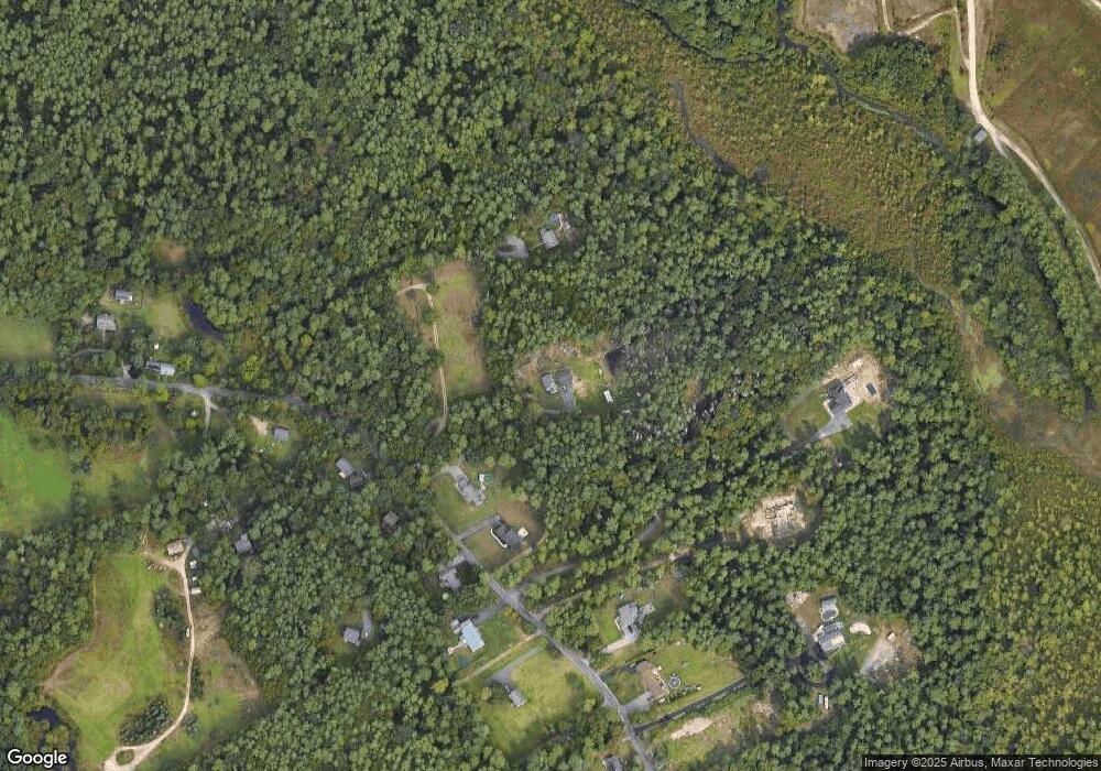
Map
Nearby Homes
- 28 Cedar Hill Dr
- 4597 Acushnet Ave
- 3 Elaine Ave
- 2 Woodland Rd
- 36 Winfield St
- 247 Braley Hill Rd
- 2 Hayes St
- 26 Blueberry Dr
- 1069 Cherokee St
- 16 Swallow St
- 13 Luscomb Ln
- 64 Blaze Rd
- 1573 Braley Rd Unit 39
- 34 Poplar Rd
- 1599 Braley Rd Unit 68
- 0 Costa Dr
- SS Charbonneau Ln
- 1063 Westgate St
- 210 Heritage Dr
- 11 Gurney Rd