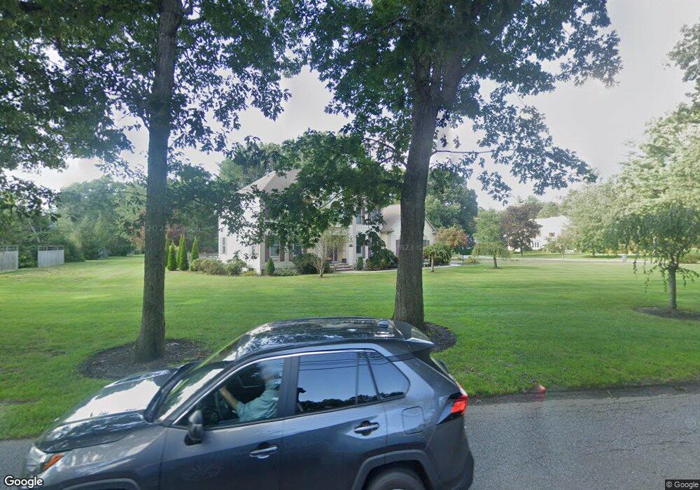
2 Harmony Ln Andover, MA 01810
Haggetts NeighborhoodEstimated Value: $1,495,000 - $1,627,000
4
Beds
4
Baths
4,000
Sq Ft
$385/Sq Ft
Est. Value
About This Home
This home is located at 2 Harmony Ln, Andover, MA 01810 and is currently estimated at $1,541,655, approximately $385 per square foot. 2 Harmony Ln is a home located in Essex County with nearby schools including Henry C. Sanborn Elementary School, Wood Hill Middle School, and Andover High School.
Ownership History
Date
Name
Owned For
Owner Type
Purchase Details
Closed on
Nov 30, 2022
Sold by
Brouillette John J and Brouillette Julia
Bought by
John J Brouillette Ft
Current Estimated Value
Purchase Details
Closed on
Mar 20, 2006
Sold by
Smith Laura A and Smith William W
Bought by
Brouillette John and Brouillette Julia
Home Financials for this Owner
Home Financials are based on the most recent Mortgage that was taken out on this home.
Original Mortgage
$800,000
Interest Rate
6.27%
Mortgage Type
Purchase Money Mortgage
Purchase Details
Closed on
Aug 28, 1997
Sold by
West James K
Bought by
Smith William L
Purchase Details
Closed on
Jan 30, 1996
Sold by
K&D Rt
Bought by
West James K
Create a Home Valuation Report for This Property
The Home Valuation Report is an in-depth analysis detailing your home's value as well as a comparison with similar homes in the area
Home Values in the Area
Average Home Value in this Area
Purchase History
| Date | Buyer | Sale Price | Title Company |
|---|---|---|---|
| John J Brouillette Ft | -- | None Available | |
| Brouillette John | $1,010,000 | -- | |
| Smith William L | $504,900 | -- | |
| West James K | $465,000 | -- |
Source: Public Records
Mortgage History
| Date | Status | Borrower | Loan Amount |
|---|---|---|---|
| Previous Owner | West James K | $700,000 | |
| Previous Owner | Brouillette John | $800,000 | |
| Previous Owner | West James K | $435,000 | |
| Previous Owner | West James K | $440,000 |
Source: Public Records
Tax History
| Year | Tax Paid | Tax Assessment Tax Assessment Total Assessment is a certain percentage of the fair market value that is determined by local assessors to be the total taxable value of land and additions on the property. | Land | Improvement |
|---|---|---|---|---|
| 2024 | $17,740 | $1,377,300 | $669,800 | $707,500 |
| 2023 | $18,325 | $1,341,500 | $572,600 | $768,900 |
| 2022 | $17,590 | $1,204,800 | $515,900 | $688,900 |
| 2021 | $16,911 | $1,106,000 | $469,100 | $636,900 |
| 2020 | $16,452 | $1,096,100 | $469,100 | $627,000 |
| 2019 | $16,104 | $1,054,600 | $437,300 | $617,300 |
| 2018 | $15,579 | $996,100 | $424,500 | $571,600 |
| 2017 | $14,974 | $986,400 | $416,200 | $570,200 |
| 2016 | $14,655 | $988,900 | $416,200 | $572,700 |
| 2015 | $14,368 | $959,800 | $416,200 | $543,600 |
Source: Public Records
Map
Nearby Homes
- 14 Geneva Rd
- 8 Stouffer Cir
- 15 Geneva Rd
- 22 Haggetts Pond Rd
- 58 Blanchard St
- 11 Rennie Dr
- 241 Lowell St Unit 3
- 54 Birch Rd
- 16 Rockingham Dr Unit 131
- 238 Catamount Rd
- 910 Livingston St
- 50 Nolan Ct Unit 50
- 399 North St
- 72 Tewksbury St
- 37 Crenshaw Ln Unit 37
- 18 Dale St Unit 9D
- 4 Andover Country Club Ln
- 26 Randolph Dr Unit 26
- 29 Randolph Dr
- 22 Bobby Jones Dr
Your Personal Tour Guide
Ask me questions while you tour the home.