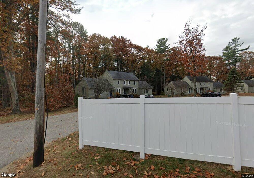
2 High Bluff Dr Kennebunk, ME 04043
Estimated Value: $265,283 - $325,000
1
Bed
1
Bath
660
Sq Ft
$449/Sq Ft
Est. Value
About This Home
This home is located at 2 High Bluff Dr, Kennebunk, ME 04043 and is currently estimated at $296,321, approximately $448 per square foot. 2 High Bluff Dr is a home located in York County with nearby schools including Kennebunk High School and The New School.
Ownership History
Date
Name
Owned For
Owner Type
Purchase Details
Closed on
Jul 9, 2021
Sold by
Simon Rebecca and Fenn Seth
Bought by
Comella Alena and Mccormick Tara L
Current Estimated Value
Home Financials for this Owner
Home Financials are based on the most recent Mortgage that was taken out on this home.
Original Mortgage
$142,500
Outstanding Balance
$129,297
Interest Rate
2.9%
Mortgage Type
Purchase Money Mortgage
Estimated Equity
$167,024
Purchase Details
Closed on
Aug 23, 2018
Sold by
Langshaw Deborah and Simon Randal E
Bought by
Langshaw Rebecca and Fenn Seth
Home Financials for this Owner
Home Financials are based on the most recent Mortgage that was taken out on this home.
Original Mortgage
$102,200
Interest Rate
4.5%
Mortgage Type
Unknown
Purchase Details
Closed on
May 9, 2014
Sold by
Langshaw Deborah H
Bought by
Langshaw Deborah H and Simon Randal E
Create a Home Valuation Report for This Property
The Home Valuation Report is an in-depth analysis detailing your home's value as well as a comparison with similar homes in the area
Home Values in the Area
Average Home Value in this Area
Purchase History
| Date | Buyer | Sale Price | Title Company |
|---|---|---|---|
| Comella Alena | -- | None Available | |
| Langshaw Rebecca | -- | -- | |
| Langshaw Deborah H | -- | -- |
Source: Public Records
Mortgage History
| Date | Status | Borrower | Loan Amount |
|---|---|---|---|
| Open | Comella Alena | $142,500 | |
| Previous Owner | Langshaw Rebecca | $102,200 |
Source: Public Records
Tax History
| Year | Tax Paid | Tax Assessment Tax Assessment Total Assessment is a certain percentage of the fair market value that is determined by local assessors to be the total taxable value of land and additions on the property. | Land | Improvement |
|---|---|---|---|---|
| 2024 | $2,231 | $131,600 | $50,000 | $81,600 |
| 2023 | $2,112 | $131,600 | $50,000 | $81,600 |
| 2022 | $1,921 | $131,600 | $50,000 | $81,600 |
| 2021 | $1,875 | $131,600 | $50,000 | $81,600 |
| 2020 | $1,862 | $131,600 | $50,000 | $81,600 |
| 2019 | $1,810 | $131,600 | $50,000 | $81,600 |
| 2018 | $1,727 | $98,700 | $37,500 | $61,200 |
| 2017 | $1,633 | $98,700 | $37,500 | $61,200 |
| 2016 | $1,569 | $98,700 | $37,500 | $61,200 |
| 2015 | $1,510 | $98,700 | $37,500 | $61,200 |
| 2014 | $1,471 | $98,700 | $37,500 | $61,200 |
Source: Public Records
Map
Nearby Homes
- 115 Fletcher St
- 7 Windsor Commons Dr Unit 7
- 23 Lilac Ln
- 3 Kensington Dr
- 2 Lexington Dr Unit 2
- 59 Plymouth Grove Unit 11
- 14 Hampton Glen Dr Unit 51
- 9 Hampton Glen Dr Unit 3
- 10 Chickadee Ln
- 17 Hampton Glen Dr Unit 5
- 23 Cascade Cir Unit 22
- 3 Hardwood Ln
- 29 Hampton Glen Dr Unit 10
- 22 Oakwood Ln
- 15 Casey Ln
- 0 Potvin Rd
- 18 Longwood Dr
- 61 Fletcher St
- 24 Cat Mousam Rd
- 8 Salvato Ln
- 6 High Bluff Dr
- 4 High Bluff Dr
- 8 High Bluff Dr
- 8 High Bluff Dr Unit 8
- 8 High Bluff Dr Unit 4
- 10 High Bluff Dr
- 16 High Bluff Dr
- 14 High Bluff Dr
- 140 Fletcher St Unit 9
- 140 Fletcher St Unit 4
- 140 Fletcher St Unit 12
- 140 Fletcher St Unit 3
- 140 Fletcher St Unit 8
- 140 Fletcher St Unit 14
- 140 Fletcher St
- 140 Fletcher St Unit 10
- 140 Fletcher St Unit 1
- 140 Fletcher St Unit 16
- 140 Fletcher St Unit 6
- 140 Fletcher St Unit 30
Your Personal Tour Guide
Ask me questions while you tour the home.