2 Jacob Ln Milford, MA 01757
Estimated Value: $545,000 - $704,525
3
Beds
1
Bath
2,260
Sq Ft
$276/Sq Ft
Est. Value
About This Home
This home is located at 2 Jacob Ln, Milford, MA 01757 and is currently estimated at $623,631, approximately $275 per square foot. 2 Jacob Ln is a home with nearby schools including Milford High School.
Ownership History
Date
Name
Owned For
Owner Type
Purchase Details
Closed on
Jan 15, 2002
Sold by
Jacob Vahid S and Jacob Kathleen
Bought by
Bennet Shelby T and Bennet Monique
Current Estimated Value
Home Financials for this Owner
Home Financials are based on the most recent Mortgage that was taken out on this home.
Original Mortgage
$150,000
Outstanding Balance
$61,297
Interest Rate
7.04%
Mortgage Type
Purchase Money Mortgage
Estimated Equity
$562,334
Create a Home Valuation Report for This Property
The Home Valuation Report is an in-depth analysis detailing your home's value as well as a comparison with similar homes in the area
Home Values in the Area
Average Home Value in this Area
Purchase History
| Date | Buyer | Sale Price | Title Company |
|---|---|---|---|
| Bennet Shelby T | $200,000 | -- |
Source: Public Records
Mortgage History
| Date | Status | Borrower | Loan Amount |
|---|---|---|---|
| Open | Bennet Shelby T | $13,000 | |
| Open | Bennet Shelby T | $150,000 |
Source: Public Records
Tax History Compared to Growth
Tax History
| Year | Tax Paid | Tax Assessment Tax Assessment Total Assessment is a certain percentage of the fair market value that is determined by local assessors to be the total taxable value of land and additions on the property. | Land | Improvement |
|---|---|---|---|---|
| 2025 | $6,592 | $515,000 | $244,900 | $270,100 |
| 2024 | $6,565 | $494,000 | $236,200 | $257,800 |
| 2023 | $6,296 | $435,700 | $206,400 | $229,300 |
| 2022 | $6,062 | $393,900 | $191,100 | $202,800 |
| 2021 | $5,970 | $373,600 | $191,100 | $182,500 |
| 2020 | $5,671 | $355,300 | $191,100 | $164,200 |
| 2019 | $5,751 | $347,700 | $191,100 | $156,600 |
| 2018 | $5,491 | $331,600 | $186,800 | $144,800 |
| 2017 | $5,443 | $324,200 | $186,800 | $137,400 |
| 2016 | $5,434 | $316,300 | $186,800 | $129,500 |
| 2015 | $5,586 | $318,300 | $186,800 | $131,500 |
Source: Public Records
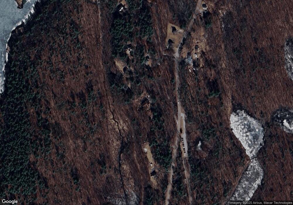
Map
Nearby Homes
- 114 Walden Way Unit 114
- 2 Emerald Dr
- 10 Oak St
- 211 Hayden Rowe St
- Lot 2 Hanlon Rd
- 11 Kimball Rd
- 0 Mcgill Ln
- 165 Lumber St
- 31 Haven St
- 45 Wendy Ln
- 22 Mcneil Cir
- 4 Angelo Dr
- 11 Myrtle Ave Unit 5
- 11 Cole Dr Unit 11
- 7 Myrtle Ave Unit 3
- 5 Myrtle Ave Unit 2
- 4 Myrtle Ave Unit 20
- 16 Fitch Ave Unit 6
- 13 Fitch Ave Unit 19
- 4 Lowell Dr
- 306 Hayden Rowe St
- 304 Hayden Rowe St
- 300 Hayden Rowe St
- 297 Hayden Rowe St
- 302 Hayden Rowe St
- 294 Hayden Rowe St
- 292 Hayden Rowe St
- 252 Cedar St
- 298 Hayden Rowe St
- 296 Hayden Rowe St
- 287 Hayden Rowe St
- 284 Hayden Rowe St
- 284 Hayden Rowe St Unit 284
- 250 Cedar St
- 282 Hayden Rowe St
- 280 Hayden Rowe St
- 281 Hayden Rowe St
- 279 Hayden Rowe St
- 277 Hayden Rowe St
- 274 Hayden Rowe St