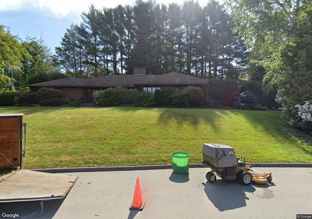
2 Knollwood Dr Worcester, MA 01609
Salisbury Street NeighborhoodEstimated Value: $822,071 - $1,127,000
3
Beds
4
Baths
3,623
Sq Ft
$257/Sq Ft
Est. Value
About This Home
This home is located at 2 Knollwood Dr, Worcester, MA 01609 and is currently estimated at $931,768, approximately $257 per square foot. 2 Knollwood Dr is a home located in Worcester County with nearby schools including Chandler Magnet, Jacob Hiatt Magnet School, and Flagg Street School.
Ownership History
Date
Name
Owned For
Owner Type
Purchase Details
Closed on
Jun 11, 1999
Sold by
Grossman Herbert and Grossman Janice
Bought by
Goyal Sanjeev B and Goyal Renu S
Current Estimated Value
Home Financials for this Owner
Home Financials are based on the most recent Mortgage that was taken out on this home.
Original Mortgage
$288,000
Outstanding Balance
$75,017
Interest Rate
6.9%
Mortgage Type
Purchase Money Mortgage
Estimated Equity
$856,751
Create a Home Valuation Report for This Property
The Home Valuation Report is an in-depth analysis detailing your home's value as well as a comparison with similar homes in the area
Home Values in the Area
Average Home Value in this Area
Purchase History
| Date | Buyer | Sale Price | Title Company |
|---|---|---|---|
| Goyal Sanjeev B | $320,000 | -- |
Source: Public Records
Mortgage History
| Date | Status | Borrower | Loan Amount |
|---|---|---|---|
| Open | Goyal Sanjeev B | $288,000 | |
| Previous Owner | Goyal Sanjeev B | $257,000 |
Source: Public Records
Tax History
| Year | Tax Paid | Tax Assessment Tax Assessment Total Assessment is a certain percentage of the fair market value that is determined by local assessors to be the total taxable value of land and additions on the property. | Land | Improvement |
|---|---|---|---|---|
| 2025 | $9,924 | $752,400 | $126,900 | $625,500 |
| 2024 | $9,595 | $697,800 | $126,900 | $570,900 |
| 2023 | $9,393 | $655,000 | $108,300 | $546,700 |
| 2022 | $8,434 | $554,500 | $86,600 | $467,900 |
| 2021 | $8,687 | $533,600 | $69,400 | $464,200 |
| 2020 | $8,502 | $500,100 | $69,100 | $431,000 |
| 2019 | $8,465 | $470,300 | $69,300 | $401,000 |
| 2018 | $8,101 | $428,400 | $69,300 | $359,100 |
| 2017 | $8,611 | $448,000 | $69,300 | $378,700 |
| 2016 | $8,992 | $436,300 | $60,000 | $376,300 |
| 2015 | $8,098 | $403,500 | $60,000 | $343,500 |
| 2014 | $7,884 | $403,500 | $60,000 | $343,500 |
Source: Public Records
Map
Nearby Homes
- 1 Rollingwood Dr
- 2 Jamesbury Dr
- 1 Knollwood Dr
- 3 Rollingwood Dr
- 4 Jamesbury Dr
- 2 Rollingwood Dr
- 6 Knollwood Dr
- 4 Rollingwood Dr
- 431 Salisbury St
- 5 Rollingwood Dr
- 6 Jamesbury Dr
- 435 Salisbury St
- 11 Rollingwood Dr
- 6 Rollingwood Dr
- 427 Salisbury St
- 3 Jamesbury Dr
- 8 Jamesbury Dr
- 181 Flagg St
- 8 Rollingwood Dr
- 3 Knollwood Dr
Your Personal Tour Guide
Ask me questions while you tour the home.