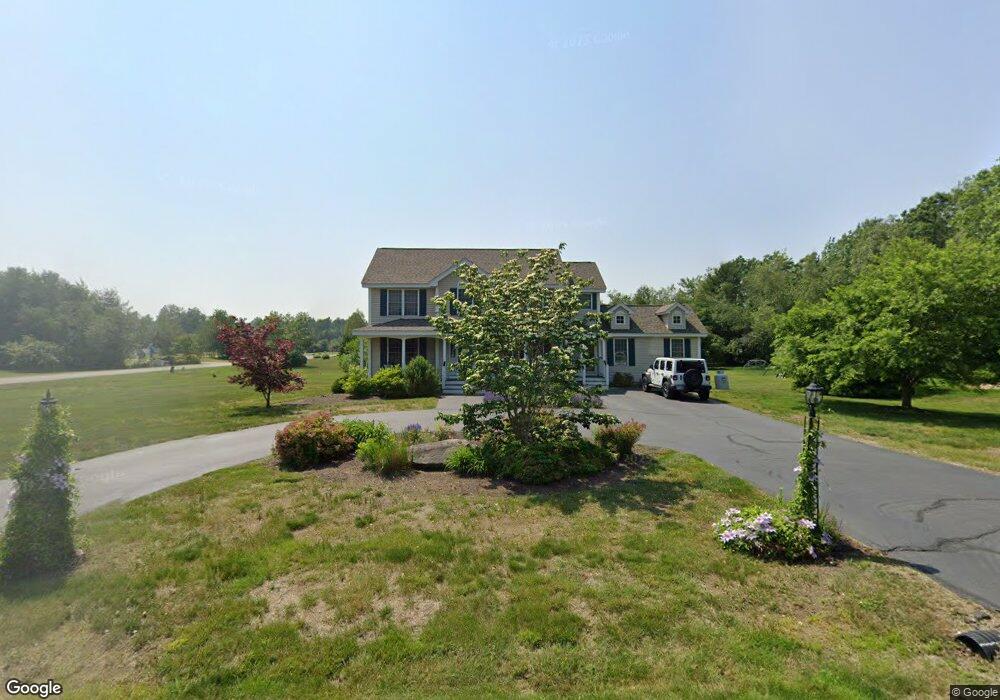
2 Landing Ct Litchfield, NH 03052
Estimated Value: $665,000 - $773,000
3
Beds
3
Baths
2,631
Sq Ft
$273/Sq Ft
Est. Value
About This Home
This home is located at 2 Landing Ct, Litchfield, NH 03052 and is currently estimated at $718,608, approximately $273 per square foot. 2 Landing Ct is a home with nearby schools including Griffin Memorial School and St. Francis of Assisi School.
Ownership History
Date
Name
Owned For
Owner Type
Purchase Details
Closed on
Feb 10, 2025
Sold by
Furlong William S and Furlong Heidi M
Bought by
Furlong Ft and Furlong
Current Estimated Value
Purchase Details
Closed on
Jan 14, 2000
Sold by
R J Moreau Co Inc
Bought by
Furlong William S
Create a Home Valuation Report for This Property
The Home Valuation Report is an in-depth analysis detailing your home's value as well as a comparison with similar homes in the area
Home Values in the Area
Average Home Value in this Area
Purchase History
| Date | Buyer | Sale Price | Title Company |
|---|---|---|---|
| Furlong Ft | -- | None Available | |
| Furlong Ft | -- | None Available | |
| Furlong William S | $165,000 | -- | |
| Furlong William S | $165,000 | -- |
Source: Public Records
Mortgage History
| Date | Status | Borrower | Loan Amount |
|---|---|---|---|
| Previous Owner | Furlong William S | $53,100 | |
| Previous Owner | Furlong William S | $230,900 | |
| Previous Owner | Furlong William S | $50,000 |
Source: Public Records
Tax History Compared to Growth
Tax History
| Year | Tax Paid | Tax Assessment Tax Assessment Total Assessment is a certain percentage of the fair market value that is determined by local assessors to be the total taxable value of land and additions on the property. | Land | Improvement |
|---|---|---|---|---|
| 2024 | $9,484 | $456,400 | $186,500 | $269,900 |
| 2023 | $9,557 | $456,400 | $186,500 | $269,900 |
| 2022 | $8,748 | $459,700 | $186,500 | $273,200 |
| 2021 | $8,477 | $459,700 | $186,500 | $273,200 |
| 2020 | $8,538 | $459,500 | $186,500 | $273,000 |
| 2019 | $8,464 | $357,900 | $141,600 | $216,300 |
| 2017 | $8,049 | $357,900 | $141,600 | $216,300 |
| 2016 | $7,731 | $357,900 | $141,600 | $216,300 |
| 2015 | $7,294 | $357,900 | $141,600 | $216,300 |
| 2014 | $7,098 | $342,900 | $138,600 | $204,300 |
| 2013 | $6,953 | $338,000 | $138,600 | $199,400 |
Source: Public Records
Map
Nearby Homes
- 25 Chatfield Dr
- 1 Tallarico St Unit 14
- 0 Tallarico St Unit 3 5032471
- 0 Tallarico St Unit 5 5032751
- 0 Tallarico St Unit 26
- 0 Tallarico St Unit 10 5044310
- 0 Tallarico St Unit 12 5033131
- 0 Tallarico St Unit Lot 11 5056385
- 31 Garden Dr
- 490 Charles Bancroft Hwy
- 13 Moose Hollow Rd
- 19 Dixon Dr
- 3-C Mustang Dr Unit MODEL
- 30 Windsor Dr Unit 9
- 35 Windsor Dr Unit 5
- 9 Mustang Dr Unit C
- 9 Mustang Dr Unit B
- 7 Mustang Dr Unit C
- 7 Mustang Dr Unit END UNIT-A
- 20 Locke Mill Dr