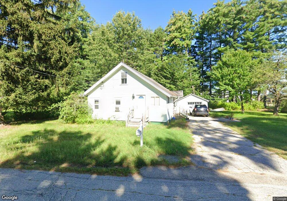
2 Lawrence St Concord, NH 03301
Concord Heights NeighborhoodEstimated Value: $287,000 - $364,000
1
Bed
1
Bath
806
Sq Ft
$412/Sq Ft
Est. Value
About This Home
This home is located at 2 Lawrence St, Concord, NH 03301 and is currently estimated at $331,787, approximately $411 per square foot. 2 Lawrence St is a home located in Merrimack County with nearby schools including Broken Ground School, Rundlett Middle School, and Concord High School.
Ownership History
Date
Name
Owned For
Owner Type
Purchase Details
Closed on
Jun 7, 2010
Sold by
Hirst Brian L and Hirst Rosemary J
Bought by
Mailhot Alicia M
Current Estimated Value
Home Financials for this Owner
Home Financials are based on the most recent Mortgage that was taken out on this home.
Original Mortgage
$116,910
Outstanding Balance
$77,722
Interest Rate
5.12%
Mortgage Type
Purchase Money Mortgage
Estimated Equity
$254,065
Purchase Details
Closed on
Sep 17, 2001
Sold by
Clancy Robert J
Bought by
Hirst Brian L and Hirst Rosemary J
Create a Home Valuation Report for This Property
The Home Valuation Report is an in-depth analysis detailing your home's value as well as a comparison with similar homes in the area
Home Values in the Area
Average Home Value in this Area
Purchase History
| Date | Buyer | Sale Price | Title Company |
|---|---|---|---|
| Mailhot Alicia M | $129,900 | -- | |
| Hirst Brian L | $90,500 | -- |
Source: Public Records
Mortgage History
| Date | Status | Borrower | Loan Amount |
|---|---|---|---|
| Open | Hirst Brian L | $116,910 |
Source: Public Records
Tax History
| Year | Tax Paid | Tax Assessment Tax Assessment Total Assessment is a certain percentage of the fair market value that is determined by local assessors to be the total taxable value of land and additions on the property. | Land | Improvement |
|---|---|---|---|---|
| 2025 | $5,301 | $182,100 | $100,600 | $81,500 |
| 2024 | $5,042 | $182,100 | $100,600 | $81,500 |
| 2023 | $4,891 | $182,100 | $100,600 | $81,500 |
| 2022 | $4,715 | $182,100 | $100,600 | $81,500 |
| 2021 | $4,574 | $182,100 | $100,600 | $81,500 |
| 2020 | $4,102 | $153,300 | $73,900 | $79,400 |
| 2019 | $3,792 | $136,500 | $70,700 | $65,800 |
| 2018 | $3,562 | $133,400 | $70,700 | $62,700 |
| 2017 | $3,564 | $126,200 | $67,300 | $58,900 |
| 2016 | $3,572 | $129,100 | $71,600 | $57,500 |
| 2015 | $3,418 | $125,000 | $71,600 | $53,400 |
| 2014 | $3,351 | $125,000 | $71,600 | $53,400 |
| 2013 | $3,172 | $124,000 | $71,600 | $52,400 |
| 2012 | $3,041 | $124,800 | $71,600 | $53,200 |
Source: Public Records
Map
Nearby Homes
- 28 Stevens Dr
- 20 Fairfield Dr
- 22 Fairfield Dr
- 21 Fairfield Dr
- 19 Grappone Dr
- 12 E Side Dr Unit 13
- 12 E Side Dr Unit 402
- 12 E Side Dr Unit 318
- 185 Loudon Rd Unit 8
- 58 Branch Turnpike Unit 73
- 58 Branch Turnpike Unit 26
- 111 -113 South Main St
- 58 S State St
- 8 NE Village Rd
- 101 James Cir Unit 101
- 55 Centre St
- 54 NE Village Rd
- 273-279 S Main St
- 47 South St
- 83 NE Village Rd
- 5 Lawrence St
- 36 Airport Rd
- 42 Airport Rd
- 7 Lawrence St
- 6 Lawrence St
- 32 Airport Rd
- 10 Lawrence St
- 30 Airport Rd
- 46 Airport Rd
- 28 Airport Rd
- 11 Lawrence St
- 11 Lawrence St Unit 11A
- 11 Lawrence St Unit Second Floor
- 11 Lawrence St Unit A
- 12 Lawrence St
- 3 Dover St
- 48 Airport Rd
- 5 Dover St
- 13 Lawrence St
- 13 Lawrence St Unit 1
Your Personal Tour Guide
Ask me questions while you tour the home.