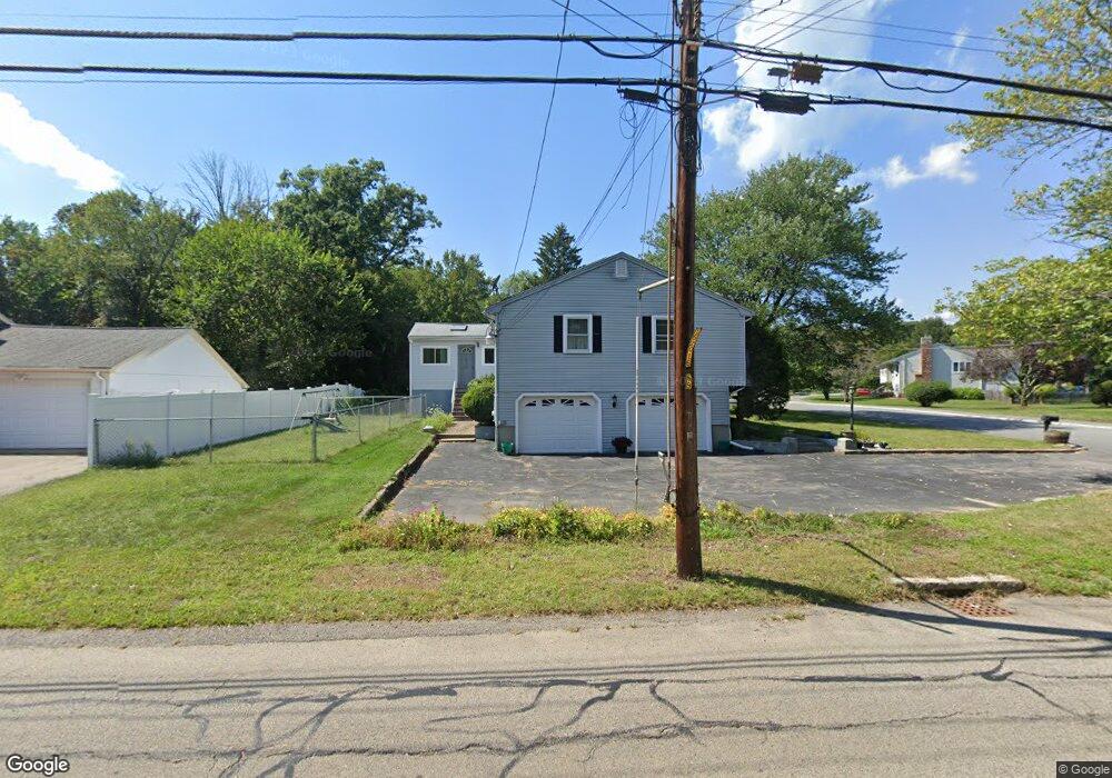
2 Lucia Dr Milford, MA 01757
Estimated Value: $573,663 - $660,000
3
Beds
2
Baths
2,230
Sq Ft
$281/Sq Ft
Est. Value
About This Home
This home is located at 2 Lucia Dr, Milford, MA 01757 and is currently estimated at $626,916, approximately $281 per square foot. 2 Lucia Dr is a home located in Worcester County with nearby schools including Milford High School.
Ownership History
Date
Name
Owned For
Owner Type
Purchase Details
Closed on
Oct 31, 1996
Sold by
Zaki Simir and Zaki Wafaa
Bought by
Duncan Gregory and Duncan Marguerite
Current Estimated Value
Purchase Details
Closed on
Sep 27, 1990
Sold by
Dechellis Arthur A
Bought by
Zaki Samir
Create a Home Valuation Report for This Property
The Home Valuation Report is an in-depth analysis detailing your home's value as well as a comparison with similar homes in the area
Home Values in the Area
Average Home Value in this Area
Purchase History
| Date | Buyer | Sale Price | Title Company |
|---|---|---|---|
| Duncan Gregory | $165,000 | -- | |
| Zaki Samir | $150,000 | -- |
Source: Public Records
Mortgage History
| Date | Status | Borrower | Loan Amount |
|---|---|---|---|
| Open | Zaki Samir | $289,987 | |
| Closed | Zaki Samir | $227,000 | |
| Closed | Zaki Samir | $207,000 |
Source: Public Records
Tax History
| Year | Tax Paid | Tax Assessment Tax Assessment Total Assessment is a certain percentage of the fair market value that is determined by local assessors to be the total taxable value of land and additions on the property. | Land | Improvement |
|---|---|---|---|---|
| 2025 | $5,797 | $452,900 | $185,000 | $267,900 |
| 2024 | $5,681 | $427,500 | $177,600 | $249,900 |
| 2023 | $5,383 | $372,500 | $153,500 | $219,000 |
| 2022 | $5,260 | $341,800 | $140,600 | $201,200 |
| 2021 | $5,296 | $331,400 | $140,600 | $190,800 |
| 2020 | $5,208 | $326,300 | $140,600 | $185,700 |
| 2019 | $4,916 | $297,200 | $140,600 | $156,600 |
| 2018 | $4,731 | $285,700 | $136,900 | $148,800 |
| 2017 | $4,632 | $275,900 | $136,900 | $139,000 |
| 2016 | $4,463 | $259,800 | $136,900 | $122,900 |
| 2015 | $4,330 | $246,700 | $129,500 | $117,200 |
Source: Public Records
Map
Nearby Homes
- 187 Purchase St
- 21 Shadowbrook Ln Unit 13
- 4 Kennedy Ln Unit 47
- 8 Shadowbrook Ln Unit 39
- 8 Shadowbrook Ln Unit 41
- 5 Dynasty Dr
- 9 Shadowbrook Ln Unit 1
- 11 Shadowbrook Ln Unit 8
- 5 Shadowbrook Ln Unit 7
- 5 Sidney Rd
- 130 Purchase St
- 9 Robin Rd
- 241 Purchase St
- 3 Mohegan Cir
- 6 Paula Rd
- 37 Godfrey Ln
- 39 Godfrey Ln
- 20 Cornell Dr
- 9 Packard Rd
- 5 Hunter Cir
Your Personal Tour Guide
Ask me questions while you tour the home.