2 Maple Cir Sanbornton, NH 03269
Sanbornton NeighborhoodEstimated Value: $629,000 - $1,241,000
3
Beds
2
Baths
1,643
Sq Ft
$482/Sq Ft
Est. Value
About This Home
This home is located at 2 Maple Cir, Sanbornton, NH 03269 and is currently estimated at $792,043, approximately $482 per square foot. 2 Maple Cir is a home with nearby schools including Sanbornton Central School, Winnisquam Regional Middle School, and Winnisquam Regional High School.
Create a Home Valuation Report for This Property
The Home Valuation Report is an in-depth analysis detailing your home's value as well as a comparison with similar homes in the area
Home Values in the Area
Average Home Value in this Area
Tax History
| Year | Tax Paid | Tax Assessment Tax Assessment Total Assessment is a certain percentage of the fair market value that is determined by local assessors to be the total taxable value of land and additions on the property. | Land | Improvement |
|---|---|---|---|---|
| 2025 | $6,971 | $527,700 | $269,300 | $258,400 |
| 2024 | $6,760 | $527,700 | $269,300 | $258,400 |
| 2023 | $6,354 | $527,700 | $269,300 | $258,400 |
| 2022 | $6,575 | $330,900 | $163,500 | $167,400 |
| 2021 | $6,060 | $329,700 | $163,500 | $166,200 |
| 2020 | $6,653 | $329,700 | $163,500 | $166,200 |
| 2019 | $652 | $219,300 | $163,500 | $55,800 |
| 2018 | $4,237 | $219,300 | $163,500 | $55,800 |
| 2017 | $670 | $144,400 | $89,200 | $55,200 |
| 2016 | $826 | $144,400 | $89,200 | $55,200 |
| 2015 | $3,467 | $144,400 | $89,200 | $55,200 |
| 2014 | $3,317 | $144,400 | $89,200 | $55,200 |
| 2013 | $3,317 | $144,400 | $89,200 | $55,200 |
Source: Public Records
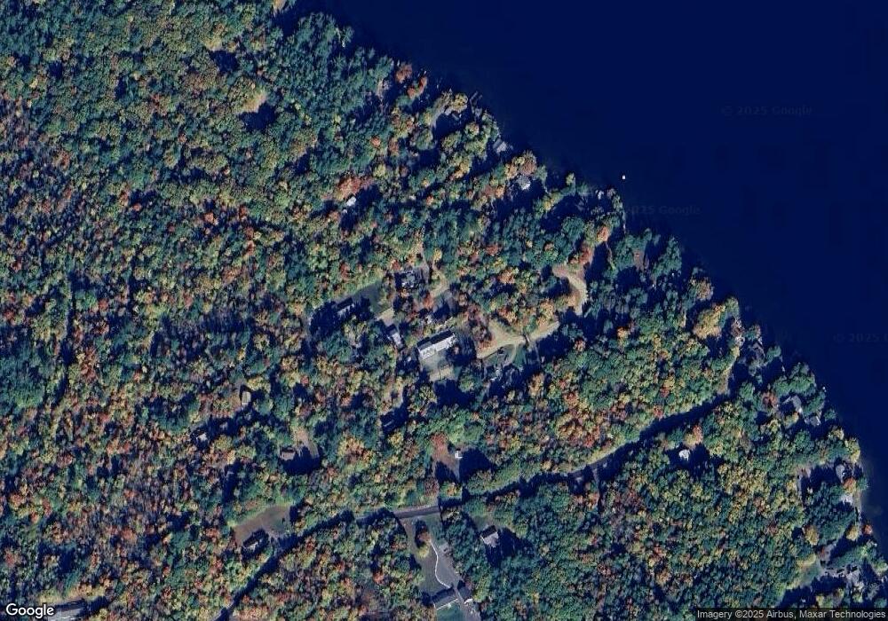
Map
Nearby Homes
- 302 Black Brook Rd
- 92 Leavitt Rd
- 38 Lynnewood Rd
- 11 Penny Ln
- 130 Upper Smith Rd
- 100 Lower Bay Rd
- 166 Holman St
- 119 Black Brook Rd
- 50 Blueberry Ln Unit 1
- 28 Village Ct
- 27 Wentworth Ave
- US Rt3 Daniel Webster Hwy
- 918 N Main St Unit 7
- 27 Tremont St
- 56 Sun Lake Dr
- 62 Whipple Ave
- 0 Black Brook Rd Unit 5063655
- 45 Westview Dr
- 98 Water St
- 24 Parker St
Your Personal Tour Guide
Ask me questions while you tour the home.