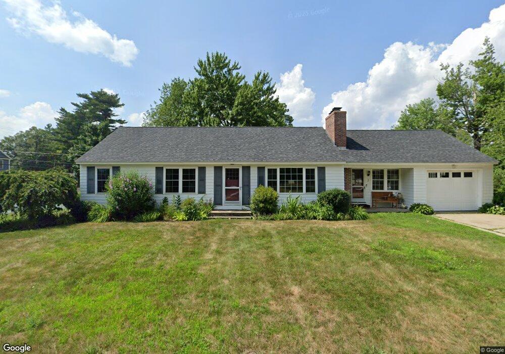
2 Mccoy Ave Unit 7982 Nashua, NH 03064
Northeast Nashua NeighborhoodEstimated Value: $521,000 - $594,000
3
Beds
1
Bath
1,522
Sq Ft
$373/Sq Ft
Est. Value
About This Home
This home is located at 2 Mccoy Ave Unit 7982, Nashua, NH 03064 and is currently estimated at $568,327, approximately $373 per square foot. 2 Mccoy Ave Unit 7982 is a home located in Hillsborough County with nearby schools including Charlotte Ave Elementary School, Pennichuck Middle School, and Nashua High School North.
Ownership History
Date
Name
Owned For
Owner Type
Purchase Details
Closed on
Feb 4, 2015
Sold by
Gagnon Susan A
Bought by
Burnette Kevin M and Burnette Jennifer
Current Estimated Value
Home Financials for this Owner
Home Financials are based on the most recent Mortgage that was taken out on this home.
Original Mortgage
$240,000
Outstanding Balance
$183,829
Interest Rate
3.84%
Mortgage Type
New Conventional
Estimated Equity
$384,498
Create a Home Valuation Report for This Property
The Home Valuation Report is an in-depth analysis detailing your home's value as well as a comparison with similar homes in the area
Home Values in the Area
Average Home Value in this Area
Purchase History
| Date | Buyer | Sale Price | Title Company |
|---|---|---|---|
| Burnette Kevin M | $270,000 | -- |
Source: Public Records
Mortgage History
| Date | Status | Borrower | Loan Amount |
|---|---|---|---|
| Open | Burnette Kevin M | $240,000 |
Source: Public Records
Tax History Compared to Growth
Tax History
| Year | Tax Paid | Tax Assessment Tax Assessment Total Assessment is a certain percentage of the fair market value that is determined by local assessors to be the total taxable value of land and additions on the property. | Land | Improvement |
|---|---|---|---|---|
| 2024 | $8,662 | $544,800 | $174,900 | $369,900 |
| 2023 | $8,214 | $450,600 | $138,100 | $312,500 |
| 2022 | $8,142 | $450,600 | $138,100 | $312,500 |
| 2021 | $6,453 | $277,900 | $92,000 | $185,900 |
| 2020 | $6,245 | $276,200 | $92,000 | $184,200 |
| 2019 | $6,010 | $276,200 | $92,000 | $184,200 |
| 2018 | $5,858 | $276,200 | $92,000 | $184,200 |
| 2017 | $5,689 | $220,600 | $80,500 | $140,100 |
| 2016 | $5,530 | $220,600 | $80,500 | $140,100 |
| 2015 | $5,220 | $212,800 | $72,700 | $140,100 |
| 2014 | $5,118 | $212,800 | $72,700 | $140,100 |
Source: Public Records
Map
Nearby Homes
- 33 Ferry Rd
- 30 Burgess St
- 3 Wright Rd
- 74 Profile Cir
- 123 Cannongate III
- 44 Broad St
- 31 Ashland St
- 17 Danbury Rd
- 19 Dunloggin Rd
- 7 Robert Dr
- 11 Amherst Terrace
- 31 Juliana Ave
- 31 Juliana Ave Unit 4
- 3 Opal Way Unit 3
- 1 Opal Way Unit 1
- 2 Opal Way Unit 2
- 12 Juliana Ave Unit 14
- 11 Juliana Ave Unit 52
- 4 Reservoir St
- 0 Baldwin St
- 4 Mccoy Ave Unit 7577
- 5 Mccoy Ave Unit 131133
- 29 Saint Laurent St
- 32 Saint Laurent St
- 31 Saint Laurent St
- 12 Ferry Rd
- 6 Greenfield Dr
- 3 Greenfield Dr
- 33 Saint Laurent St
- 34 Saint Laurent St
- 5 Greenfield Dr
- 15 Ferry Rd
- 8 Greenfield Dr
- 14 Ferry Rd
- 35 Saint Laurent St
- 36 Saint Laurent St
- 7 Bloomingdale Dr
- 13 Bloomingdale Dr
- 11 Bloomingdale Dr
- 10 Greenfield Dr