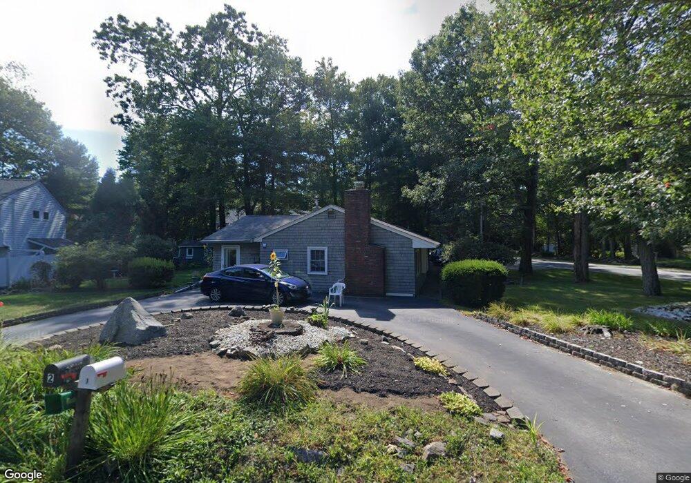
2 Mohawk St Hampton, NH 03842
Estimated Value: $592,000 - $918,000
3
Beds
3
Baths
1,693
Sq Ft
$427/Sq Ft
Est. Value
About This Home
This home is located at 2 Mohawk St, Hampton, NH 03842 and is currently estimated at $722,707, approximately $426 per square foot. 2 Mohawk St is a home located in Rockingham County with nearby schools including Hampton Centre School, Adeline C. Marston Elementary School, and Hampton Academy.
Ownership History
Date
Name
Owned For
Owner Type
Purchase Details
Closed on
Nov 18, 2011
Sold by
Jlb Rt
Bought by
Solmonson Arthur E and Solmonson June T
Current Estimated Value
Home Financials for this Owner
Home Financials are based on the most recent Mortgage that was taken out on this home.
Original Mortgage
$110,000
Outstanding Balance
$73,536
Interest Rate
3.92%
Mortgage Type
Purchase Money Mortgage
Estimated Equity
$649,171
Create a Home Valuation Report for This Property
The Home Valuation Report is an in-depth analysis detailing your home's value as well as a comparison with similar homes in the area
Home Values in the Area
Average Home Value in this Area
Purchase History
| Date | Buyer | Sale Price | Title Company |
|---|---|---|---|
| Solmonson Arthur E | $240,000 | -- |
Source: Public Records
Mortgage History
| Date | Status | Borrower | Loan Amount |
|---|---|---|---|
| Open | Solmonson Arthur E | $110,000 |
Source: Public Records
Tax History
| Year | Tax Paid | Tax Assessment Tax Assessment Total Assessment is a certain percentage of the fair market value that is determined by local assessors to be the total taxable value of land and additions on the property. | Land | Improvement |
|---|---|---|---|---|
| 2025 | $6,305 | $511,800 | $252,900 | $258,900 |
| 2024 | $6,305 | $511,800 | $252,900 | $258,900 |
| 2023 | $6,030 | $360,000 | $168,600 | $191,400 |
| 2022 | $5,702 | $360,000 | $168,600 | $191,400 |
| 2021 | $5,702 | $360,000 | $168,600 | $191,400 |
| 2020 | $5,725 | $359,400 | $168,600 | $190,800 |
| 2019 | $9,798 | $359,400 | $168,600 | $190,800 |
| 2018 | $5,782 | $339,700 | $139,300 | $200,400 |
| 2017 | $5,561 | $339,700 | $139,300 | $200,400 |
| 2016 | $10,434 | $339,700 | $139,300 | $200,400 |
Source: Public Records
Map
Nearby Homes
- 467 High St Unit 10
- 415 High St Unit 3
- 939 Ocean Blvd Unit 14
- 190 Kings Hwy Unit A1
- 947 Ocean Blvd Unit 17
- 12 Smith Ave
- 8 Dunvegan Woods
- 61 Acorn Rd
- 43 Ancient Hwy
- 30 Ancient Hwy
- 12 Runnymede Dr
- 11 Redman St
- 7 Redman St
- 2 Hilliard Dr
- 29 Thorwald Ave
- 38 Mill Rd
- 745 Ocean Blvd
- 11 Lamson Ln
- 10 Mcdermott Rd
- 515 Winnacunnet Rd Unit 6
Your Personal Tour Guide
Ask me questions while you tour the home.