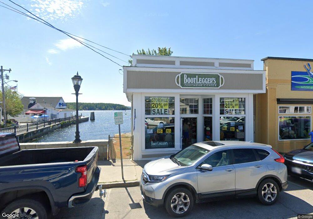
2 N Main St Unit 2 Wolfeboro, NH 03894
Estimated Value: $4,421,916
2
Beds
1
Bath
852
Sq Ft
$5,190/Sq Ft
Est. Value
About This Home
This home is located at 2 N Main St Unit 2, Wolfeboro, NH 03894 and is currently estimated at $4,421,916, approximately $5,190 per square foot. 2 N Main St Unit 2 is a home located in Carroll County with nearby schools including Carpenter Elementary School, Crescent Lake School, and Kingswood Regional Middle School.
Ownership History
Date
Name
Owned For
Owner Type
Purchase Details
Closed on
Dec 13, 2005
Sold by
Marshfield Rtr Of
Bought by
Wolfe Property Holding
Current Estimated Value
Home Financials for this Owner
Home Financials are based on the most recent Mortgage that was taken out on this home.
Original Mortgage
$808,000
Outstanding Balance
$448,853
Interest Rate
6.17%
Mortgage Type
Commercial
Estimated Equity
$3,973,063
Create a Home Valuation Report for This Property
The Home Valuation Report is an in-depth analysis detailing your home's value as well as a comparison with similar homes in the area
Home Values in the Area
Average Home Value in this Area
Purchase History
| Date | Buyer | Sale Price | Title Company |
|---|---|---|---|
| Wolfe Property Holding | $1,800,000 | -- |
Source: Public Records
Mortgage History
| Date | Status | Borrower | Loan Amount |
|---|---|---|---|
| Open | Wolfe Property Holding | $808,000 |
Source: Public Records
Tax History Compared to Growth
Tax History
| Year | Tax Paid | Tax Assessment Tax Assessment Total Assessment is a certain percentage of the fair market value that is determined by local assessors to be the total taxable value of land and additions on the property. | Land | Improvement |
|---|---|---|---|---|
| 2024 | $5,085 | $319,800 | $226,200 | $93,600 |
| 2023 | $4,698 | $319,800 | $226,200 | $93,600 |
| 2022 | $4,228 | $319,800 | $226,200 | $93,600 |
| 2021 | $4,372 | $319,800 | $226,200 | $93,600 |
| 2020 | $4,161 | $319,800 | $226,200 | $93,600 |
| 2019 | $4,925 | $310,900 | $226,200 | $84,700 |
| 2018 | $4,912 | $310,900 | $226,200 | $84,700 |
| 2017 | $4,657 | $310,900 | $226,200 | $84,700 |
| 2016 | $4,548 | $310,900 | $226,200 | $84,700 |
| 2015 | $4,337 | $310,900 | $226,200 | $84,700 |
| 2014 | $6,279 | $482,600 | $381,400 | $101,200 |
| 2013 | $6,192 | $482,600 | $381,400 | $101,200 |
Source: Public Records
Map
Nearby Homes
- 39 Harbor Way Unit 19
- 0 Christopher Ct Unit 18
- 19 Governor Wentworth Hwy
- 17 Waumbeck Rd
- 2 Jordan Way
- 427 N Main St
- 185 Ambrose Way
- 004 Pine Hill Rd
- 12 Highland Terrace
- 5 Bennett Farm Rd
- 290 Pine Hill Rd
- 222 N Main St
- 00 Beach Pond Rd Unit 35
- 208 Forest Rd
- 107 Middle Rd
- 0 Fieldstone Rd Unit 33
- 195 Sewall Rd
- 156 Trotting Track Rd
- 61 Lehner St
- 108 Center St
- 678 N Main St Unit C8
- 678 N Main St
- 678 N Main St Unit 12
- 678 N Main St Unit 2
- 678 N Main St Unit 9
- 678 N Main St Unit 6
- 678 N Main St Unit 1
- 678 N Main St Unit 14
- 678 N Main St Unit 5
- 678 N Main St Unit 8
- 14 678-4 North Main St Unit 14
- 680 N Main St Unit 24
- 680 N Main St Unit 23
- 680 N Main St Unit 22
- 680 N Main St Unit 21
- 680 N Main St Unit 20
- 680 N Main St Unit 19
- 680 N Main St Unit 18
- 680 N Main St Unit 17
- 680 N Main St Unit 16