2 Navaho Ln Heath, MA 01346
Heath NeighborhoodEstimated Value: $272,562 - $364,000
4
Beds
2
Baths
3,322
Sq Ft
$94/Sq Ft
Est. Value
About This Home
This home is located at 2 Navaho Ln, Heath, MA 01346 and is currently estimated at $312,641, approximately $94 per square foot. 2 Navaho Ln is a home with nearby schools including Mohawk Trail Regional High School.
Ownership History
Date
Name
Owned For
Owner Type
Purchase Details
Closed on
Oct 31, 2002
Sold by
Terault C Ann and Terault Normand A
Bought by
Simmons Jeanna M and Simmons Jeffrey A
Current Estimated Value
Home Financials for this Owner
Home Financials are based on the most recent Mortgage that was taken out on this home.
Original Mortgage
$143,863
Outstanding Balance
$60,568
Interest Rate
6.09%
Mortgage Type
Purchase Money Mortgage
Estimated Equity
$252,073
Create a Home Valuation Report for This Property
The Home Valuation Report is an in-depth analysis detailing your home's value as well as a comparison with similar homes in the area
Home Values in the Area
Average Home Value in this Area
Purchase History
| Date | Buyer | Sale Price | Title Company |
|---|---|---|---|
| Simmons Jeanna M | $145,000 | -- |
Source: Public Records
Mortgage History
| Date | Status | Borrower | Loan Amount |
|---|---|---|---|
| Open | Simmons Jeanna M | $143,863 | |
| Previous Owner | Simmons Jeanna M | $25,000 | |
| Previous Owner | Simmons Jeanna M | $65,000 |
Source: Public Records
Tax History Compared to Growth
Tax History
| Year | Tax Paid | Tax Assessment Tax Assessment Total Assessment is a certain percentage of the fair market value that is determined by local assessors to be the total taxable value of land and additions on the property. | Land | Improvement |
|---|---|---|---|---|
| 2025 | $3,824 | $203,300 | $26,200 | $177,100 |
| 2024 | $3,916 | $191,700 | $26,200 | $165,500 |
| 2023 | $4,304 | $188,100 | $26,200 | $161,900 |
| 2022 | $4,042 | $187,900 | $26,200 | $161,700 |
| 2021 | $4,268 | $189,500 | $26,200 | $163,300 |
| 2020 | $4,241 | $190,600 | $26,200 | $164,400 |
| 2019 | $4,149 | $192,100 | $24,700 | $167,400 |
| 2018 | $4,190 | $192,100 | $24,700 | $167,400 |
| 2017 | $4,011 | $191,100 | $24,400 | $166,700 |
| 2016 | $3,948 | $192,500 | $24,400 | $168,100 |
| 2015 | $3,868 | $193,800 | $24,400 | $169,400 |
Source: Public Records
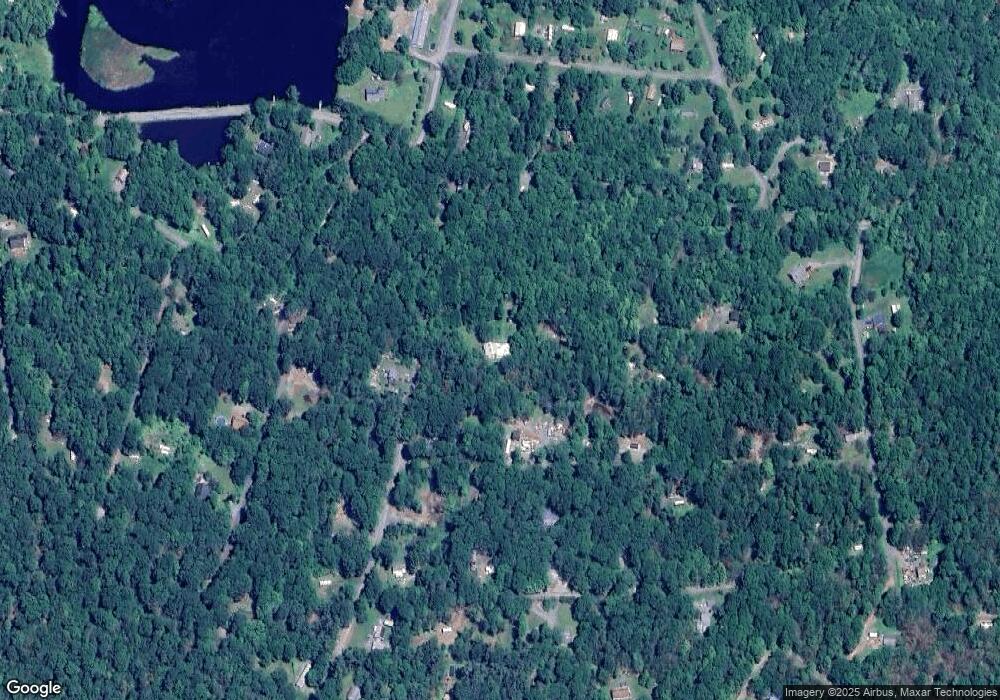
Map
Nearby Homes
- 139 Taylor Brook Rd
- 32 Navaho Ln
- 6 Chippewa Dr
- 14 South Rd
- 0 W Oxbow Rd Unit 73453651
- 24 W Oxbow Rd
- 594 Massachusetts 8a
- 31 W Oxbow Rd
- 61 Ed Clark Rd
- 2155 Massachusetts 2
- 2151 Route 2
- 0 Maxwell Rd Unit 246884
- Lot 121 Davis Mine Rd
- 143 Charlemont Rd
- 3+5 Church St
- 251 Phillips Hill Rd
- 174 Main St
- 442 Mcmillan Rd
- 829 Pennel Hill Rd
- 295 Jacksonville Rd
- 36 Navaho Ln
- 36 W Brook Dr
- 30,32, Navaho Ln
- 128 Taylor Brook Rd
- 17 W Brook Dr
- 0 Taylor Brook Rd Unit 30170027
- 0 Taylor Brook Rd Unit 30103369
- 0 Taylor Brook Rd Unit 30067418
- 0 Taylor Brook Rd Unit 72602790
- 0 Taylor Brook Rd Unit 72413255
- 27 E Brook Dr
- 136 Taylor Brook Rd
- 10 Mohawk Beach Dr
- 120 Taylor Brook
- 1 Mohawk Beach Dr
- 18 W Brook Dr
- 16 Westbrook Dr
- 118 Taylor Brook Rd
- 16 W Brook Dr
- 22 Navaho Ln