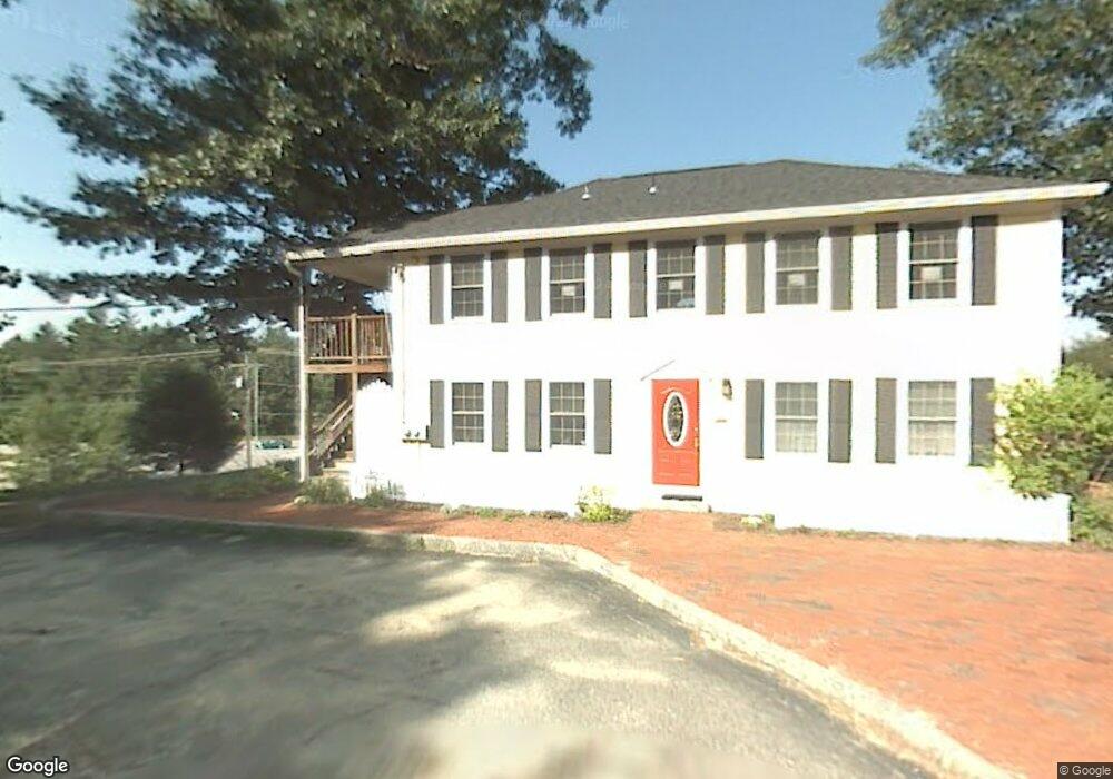
2 Overlook Dr Amherst, NH 03031
Estimated Value: $236,627
--
Bed
1
Bath
1,188
Sq Ft
$199/Sq Ft
Est. Value
About This Home
This home is located at 2 Overlook Dr, Amherst, NH 03031 and is currently estimated at $236,627, approximately $199 per square foot. 2 Overlook Dr is a home located in Hillsborough County with nearby schools including Wilkins Elementary School, Amherst Middle School, and Souhegan Cooperative High School.
Create a Home Valuation Report for This Property
The Home Valuation Report is an in-depth analysis detailing your home's value as well as a comparison with similar homes in the area
Home Values in the Area
Average Home Value in this Area
Tax History Compared to Growth
Tax History
| Year | Tax Paid | Tax Assessment Tax Assessment Total Assessment is a certain percentage of the fair market value that is determined by local assessors to be the total taxable value of land and additions on the property. | Land | Improvement |
|---|---|---|---|---|
| 2024 | $2,843 | $124,000 | $0 | $124,000 |
| 2023 | $2,713 | $124,000 | $0 | $124,000 |
| 2022 | $2,688 | $127,200 | $0 | $127,200 |
| 2021 | $2,625 | $123,200 | $0 | $123,200 |
| 2020 | $2,885 | $101,300 | $0 | $101,300 |
| 2019 | $2,731 | $101,300 | $0 | $101,300 |
| 2018 | $2,758 | $101,300 | $0 | $101,300 |
| 2017 | $2,635 | $101,300 | $0 | $101,300 |
| 2016 | $2,543 | $101,300 | $0 | $101,300 |
| 2015 | $2,505 | $94,600 | $0 | $94,600 |
| 2014 | $2,522 | $94,600 | $0 | $94,600 |
| 2013 | $2,502 | $94,600 | $0 | $94,600 |
Source: Public Records
Map
Nearby Homes
- 6 Veterans Rd Unit 15
- 8 Carriage Ln
- 16 Captain Danforth Ln
- 12 Fairway Dr
- 2 Benning St
- 25 Eastern Ave
- 24 Deerwood Dr
- 0 Claude Rd
- 377 Nashua St
- 148 County Rd
- 150 County Rd Unit 4-142-8
- 150 County Rd
- 9 Northfield Rd
- 2 County Rd
- 1A Debbie Ln
- 40 North St
- 101-2 Seaverns Bridge Rd
- 1 County Rd
- 103 Seaverns Bridge Rd
- 77 Mooar Hill Rd
- 5 State Route 101a
- 5 State Route 101a Unit 2
- 5 State Route 101a Unit 4
- 3 Overlook Dr Unit C-4
- 3 Overlook Dr Unit C4
- 3 Overlook Dr Unit Building C Unit 4
- 3 Overlook Dr Unit 3
- 3 Overlook Dr
- 9 Standish Way
- 7 Standish Way
- 103 Ponemah Rd Unit Lot 8
- 103 Ponemah Rd Unit Lot 2
- 103 Ponemah Rd
- 85 Ponemah Rd
- 13 Standish Way
- 86 Ponemah Rd
- 2 Currier Ln
- 15 Standish Way
- 5 Standish Way
- 105 Ponemah Rd