2 Owens Way Moultonborough, NH 03254
Estimated Value: $753,000 - $1,132,000
5
Beds
1
Bath
1,755
Sq Ft
$578/Sq Ft
Est. Value
About This Home
This home is located at 2 Owens Way, Moultonborough, NH 03254 and is currently estimated at $1,013,699, approximately $577 per square foot. 2 Owens Way is a home with nearby schools including Moultonborough Central School and Moultonborough Academy High School.
Create a Home Valuation Report for This Property
The Home Valuation Report is an in-depth analysis detailing your home's value as well as a comparison with similar homes in the area
Home Values in the Area
Average Home Value in this Area
Tax History Compared to Growth
Tax History
| Year | Tax Paid | Tax Assessment Tax Assessment Total Assessment is a certain percentage of the fair market value that is determined by local assessors to be the total taxable value of land and additions on the property. | Land | Improvement |
|---|---|---|---|---|
| 2024 | $5,602 | $991,500 | $845,500 | $146,000 |
| 2023 | $1,745 | $306,200 | $178,900 | $127,300 |
| 2022 | $1,368 | $286,200 | $171,300 | $114,900 |
| 2021 | $1,693 | $242,600 | $141,400 | $101,200 |
| 2020 | $1,627 | $228,200 | $131,000 | $97,200 |
| 2019 | $1,502 | $210,100 | $129,500 | $80,600 |
| 2018 | $1,544 | $200,000 | $120,500 | $79,500 |
| 2017 | $1,657 | $201,600 | $120,500 | $81,100 |
| 2016 | $1,752 | $200,500 | $120,500 | $80,000 |
| 2015 | $1,826 | $202,700 | $120,500 | $82,200 |
| 2014 | $1,796 | $202,700 | $120,500 | $82,200 |
| 2013 | $1,750 | $201,400 | $120,500 | $80,900 |
Source: Public Records
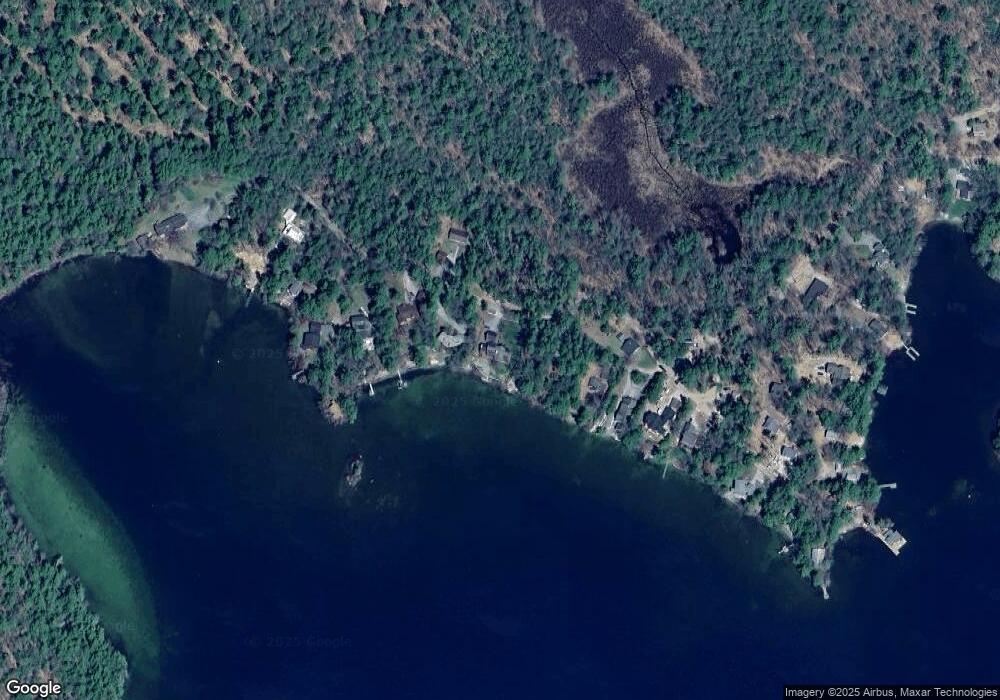
Map
Nearby Homes
- 31 Rays Way
- 23 Harbourside Dr
- Lot 16 Long Point Rd
- 5 Ferry Rd
- 62 Boathouse Rd
- 29 Kona Farm Rd
- 16 Long Island Rd
- 67 Hoyt Mill Rd
- 4 Orton Ln
- 00 Moultonboro Neck Rd Unit 2
- 00 Moultonboro Neck Rd
- 21 Orton Ln
- 30 Leopards Leap
- 11 Geery Ln
- 130 W Point Rd
- 27 First Point Rd
- 00 Beede Rd
- 10 Woodridge Rd
- 65 Beede Rd
- 19 Alderberry Ln