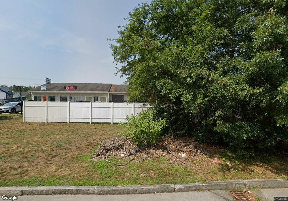
2 Paul's Way Amherst, NH 03031
Estimated Value: $785,570
--
Bed
--
Bath
8,320
Sq Ft
$94/Sq Ft
Est. Value
About This Home
This home is located at 2 Paul's Way, Amherst, NH 03031 and is currently estimated at $785,570, approximately $94 per square foot. 2 Paul's Way is a home located in Hillsborough County with nearby schools including Wilkins Elementary School, Amherst Middle School, and Souhegan Cooperative High School.
Ownership History
Date
Name
Owned For
Owner Type
Purchase Details
Closed on
May 3, 2018
Sold by
Gin & Jen Llc
Bought by
Red Major Llc
Current Estimated Value
Purchase Details
Closed on
Sep 13, 2013
Sold by
Yeuge Gin W and Yeung Jennie
Bought by
Gin & Jen Llc
Purchase Details
Closed on
Feb 6, 2006
Sold by
Chow Michael H
Bought by
Yeung Gin-Wei and Yeung Jennie
Home Financials for this Owner
Home Financials are based on the most recent Mortgage that was taken out on this home.
Original Mortgage
$642,000
Interest Rate
6.31%
Mortgage Type
Commercial
Create a Home Valuation Report for This Property
The Home Valuation Report is an in-depth analysis detailing your home's value as well as a comparison with similar homes in the area
Home Values in the Area
Average Home Value in this Area
Purchase History
| Date | Buyer | Sale Price | Title Company |
|---|---|---|---|
| Red Major Llc | $488,000 | -- | |
| Gin & Jen Llc | -- | -- | |
| Yeung Gin-Wei | $700,000 | -- |
Source: Public Records
Mortgage History
| Date | Status | Borrower | Loan Amount |
|---|---|---|---|
| Previous Owner | Yeung Gin-Wei | $642,000 |
Source: Public Records
Tax History Compared to Growth
Tax History
| Year | Tax Paid | Tax Assessment Tax Assessment Total Assessment is a certain percentage of the fair market value that is determined by local assessors to be the total taxable value of land and additions on the property. | Land | Improvement |
|---|---|---|---|---|
| 2024 | $20,165 | $879,400 | $291,700 | $587,700 |
| 2023 | $19,241 | $879,400 | $291,700 | $587,700 |
| 2022 | $18,174 | $860,100 | $291,700 | $568,400 |
| 2021 | $18,329 | $860,100 | $291,700 | $568,400 |
| 2020 | $19,398 | $681,100 | $277,800 | $403,300 |
| 2019 | $17,713 | $657,000 | $277,800 | $379,200 |
| 2018 | $18,034 | $662,300 | $277,800 | $384,500 |
| 2017 | $16,867 | $648,500 | $277,800 | $370,700 |
| 2016 | $16,277 | $648,500 | $277,800 | $370,700 |
| 2015 | $17,003 | $642,100 | $283,500 | $358,600 |
| 2014 | $17,118 | $642,100 | $283,500 | $358,600 |
| 2013 | $16,984 | $642,100 | $283,500 | $358,600 |
Source: Public Records
Map
Nearby Homes
- 25 Eastern Ave
- 6 Veterans Rd Unit 15
- 16 Captain Danforth Ln
- 15 Four Winds Rd
- 206 S Merrimack Rd
- 101-2 Seaverns Bridge Rd
- 77 Mooar Hill Rd
- 103 Seaverns Bridge Rd
- 105 Seaverns Bridge Rd
- 1 County Rd
- 80 Peaslee Rd
- 24 Deerwood Dr
- 148 County Rd
- 150 County Rd Unit 4-142-8
- 150 County Rd
- 8 Carriage Ln
- 3 Roedean Dr Unit C-207
- 11 Queens Way
- 201 Millwright Dr
- 218 Millwright Dr Unit 218
- 104 New Hampshire 101a
- 4 Pauls Way
- 3 Paul's Way
- 6 Pauls Way
- 5 Pauls Way
- 5 Paul's Way
- 98 New Hampshire 101a
- 98 State Route 101a
- 110 New Hampshire 101a Unit 1F
- 110 New Hampshire 101a Unit 1RW
- 110 New Hampshire 101a Unit 2R
- 110 New Hampshire 101a Unit 1R
- 110 State Route 101a
- 110 State Route 101a Unit 1R
- 21 Douglas Dr
- 2 Caldwell Dr
- 105 New Hampshire 101a
- 112 State Route 101a
- 112 New Hampshire 101a
- 23 Douglas Dr