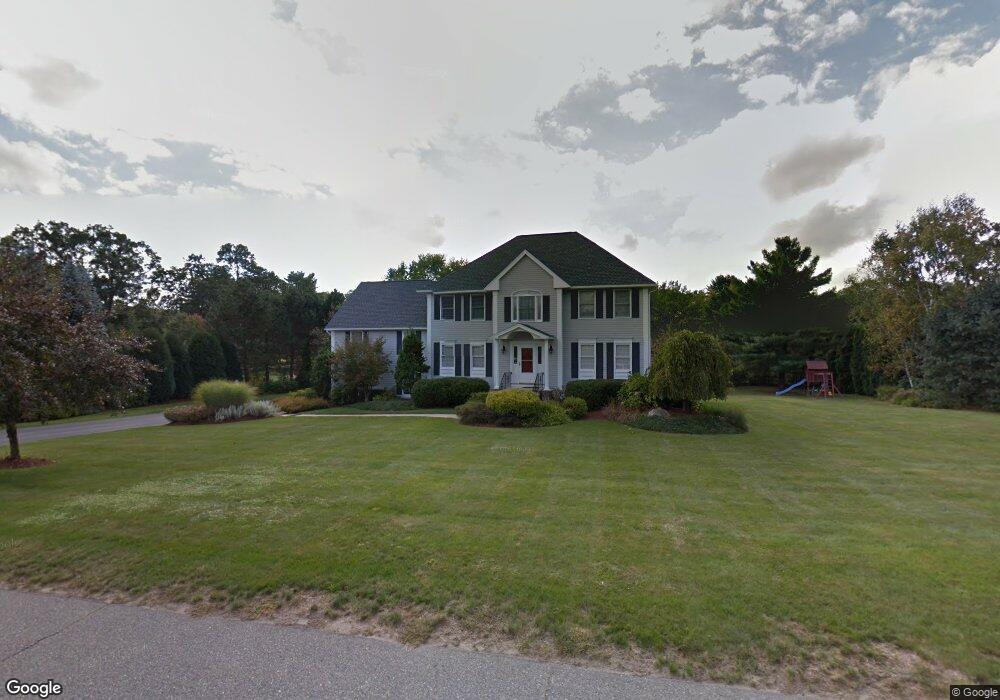
2 Preston Cir Andover, MA 01810
Haggetts NeighborhoodEstimated Value: $1,395,986 - $1,806,000
4
Beds
4
Baths
3,490
Sq Ft
$447/Sq Ft
Est. Value
About This Home
This home is located at 2 Preston Cir, Andover, MA 01810 and is currently estimated at $1,558,747, approximately $446 per square foot. 2 Preston Cir is a home located in Essex County with nearby schools including Henry C. Sanborn Elementary School, Wood Hill Middle School, and Andover High School.
Ownership History
Date
Name
Owned For
Owner Type
Purchase Details
Closed on
Jun 30, 2011
Sold by
Orenberg Stephen A and Orenberg Diane M
Bought by
Kung Justin W and Kung Afrienne T
Current Estimated Value
Home Financials for this Owner
Home Financials are based on the most recent Mortgage that was taken out on this home.
Original Mortgage
$680,000
Outstanding Balance
$466,868
Interest Rate
4.62%
Mortgage Type
Purchase Money Mortgage
Estimated Equity
$1,091,879
Purchase Details
Closed on
Jan 4, 1996
Sold by
Cormier Andover Constr
Bought by
Orenberg Stephen A
Home Financials for this Owner
Home Financials are based on the most recent Mortgage that was taken out on this home.
Original Mortgage
$373,500
Interest Rate
7.34%
Mortgage Type
Purchase Money Mortgage
Create a Home Valuation Report for This Property
The Home Valuation Report is an in-depth analysis detailing your home's value as well as a comparison with similar homes in the area
Home Values in the Area
Average Home Value in this Area
Purchase History
| Date | Buyer | Sale Price | Title Company |
|---|---|---|---|
| Kung Justin W | $816,000 | -- | |
| Kung Justin W | $816,000 | -- | |
| Orenberg Stephen A | $415,000 | -- | |
| Orenberg Stephen A | $415,000 | -- |
Source: Public Records
Mortgage History
| Date | Status | Borrower | Loan Amount |
|---|---|---|---|
| Open | Kung Justin W | $680,000 | |
| Closed | Orenberg Stephen A | $680,000 | |
| Previous Owner | Orenberg Stephen A | $349,782 | |
| Previous Owner | Orenberg Stephen A | $373,500 |
Source: Public Records
Tax History Compared to Growth
Tax History
| Year | Tax Paid | Tax Assessment Tax Assessment Total Assessment is a certain percentage of the fair market value that is determined by local assessors to be the total taxable value of land and additions on the property. | Land | Improvement |
|---|---|---|---|---|
| 2024 | $15,859 | $1,231,300 | $478,300 | $753,000 |
| 2023 | $14,977 | $1,096,400 | $408,900 | $687,500 |
| 2022 | $14,339 | $982,100 | $368,500 | $613,600 |
| 2021 | $13,770 | $900,600 | $335,200 | $565,400 |
| 2020 | $13,375 | $891,100 | $335,200 | $555,900 |
| 2019 | $13,180 | $863,100 | $316,400 | $546,700 |
| 2018 | $12,693 | $811,600 | $307,400 | $504,200 |
| 2017 | $12,205 | $804,000 | $301,500 | $502,500 |
| 2016 | $12,189 | $822,500 | $317,200 | $505,300 |
| 2015 | $11,906 | $795,300 | $317,200 | $478,100 |
Source: Public Records
Map
Nearby Homes
- 1 Stouffer Cir
- 14 Geneva Rd
- 22 Haggetts Pond Rd
- 15 Geneva Rd
- 58 Blanchard St
- 69 Blanchard St
- 14 Regis Rd
- 4 Hazelwood Cir
- 97 Kendall Rd
- 1170 Livingston St
- 399 North St
- 37 Crenshaw Ln Unit 37
- 18 Dale St Unit 4G
- 78 Deering Dr
- 18 Bryan Ln Unit 18
- 995 North St
- 1563 Andover St Unit 18
- 25 Clubview Dr Unit 25
- 105 Central St
- 1117 Emerald Ct