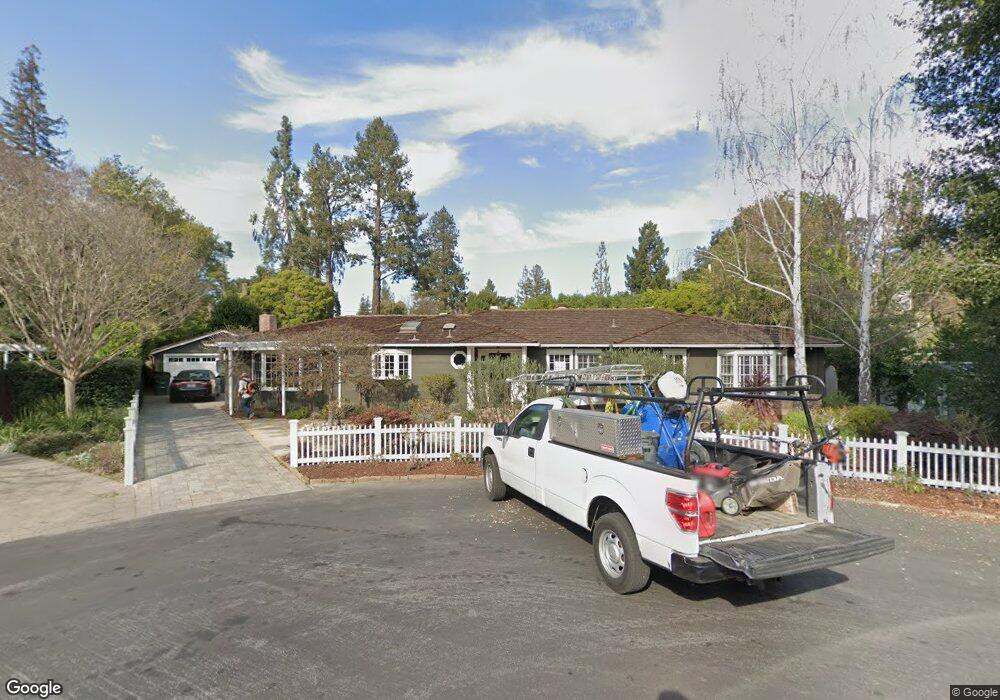
2 Randall Place Menlo Park, CA 94025
Central Menlo Park NeighborhoodEstimated Value: $5,166,000 - $5,964,000
3
Beds
3
Baths
2,750
Sq Ft
$2,000/Sq Ft
Est. Value
About This Home
This home is located at 2 Randall Place, Menlo Park, CA 94025 and is currently estimated at $5,501,050, approximately $2,000 per square foot. 2 Randall Place is a home located in San Mateo County with nearby schools including Oak Knoll Elementary School, Hillview Middle School, and Menlo-Atherton High School.
Ownership History
Date
Name
Owned For
Owner Type
Purchase Details
Closed on
Nov 9, 2010
Sold by
Porter Kelsey
Bought by
Porter Kelsey
Current Estimated Value
Purchase Details
Closed on
Apr 14, 2010
Sold by
Aronson David W and Aronson Christine Allen
Bought by
Porter Kelsey
Purchase Details
Closed on
Jan 20, 2005
Sold by
Aronson David W and Aronson Christine Allen
Bought by
Aronson David W and Aronson Christine Allen
Create a Home Valuation Report for This Property
The Home Valuation Report is an in-depth analysis detailing your home's value as well as a comparison with similar homes in the area
Home Values in the Area
Average Home Value in this Area
Purchase History
| Date | Buyer | Sale Price | Title Company |
|---|---|---|---|
| Porter Kelsey | -- | None Available | |
| Porter Kelsey | $2,325,000 | First American Title | |
| Aronson David W | -- | -- |
Source: Public Records
Tax History
| Year | Tax Paid | Tax Assessment Tax Assessment Total Assessment is a certain percentage of the fair market value that is determined by local assessors to be the total taxable value of land and additions on the property. | Land | Improvement |
|---|---|---|---|---|
| 2025 | $36,586 | $3,148,485 | $2,323,480 | $825,005 |
| 2023 | $36,586 | $3,026,228 | $2,233,257 | $792,971 |
| 2022 | $34,891 | $2,966,892 | $2,189,468 | $777,424 |
| 2021 | $34,194 | $2,908,719 | $2,146,538 | $762,181 |
| 2020 | $34,014 | $2,878,895 | $2,124,528 | $754,367 |
| 2019 | $33,553 | $2,822,447 | $2,082,871 | $739,576 |
| 2018 | $32,736 | $2,767,107 | $2,042,031 | $725,076 |
| 2017 | $32,256 | $2,712,852 | $2,001,992 | $710,860 |
| 2016 | $31,436 | $2,659,660 | $1,962,738 | $696,922 |
| 2015 | $31,155 | $2,619,711 | $1,933,256 | $686,455 |
| 2014 | $30,640 | $2,568,396 | $1,895,387 | $673,009 |
Source: Public Records
Map
Nearby Homes
- 1785 Holly Ave
- 2030 Sand Hill Rd
- 2067 Santa Cruz Ave
- 1100 Hobart St
- 20 Campo Bello Ct
- 2140 Santa Cruz Ave Unit D105
- 745 Windsor Dr
- 2160 Santa Cruz Ave Unit 22
- 2171 Clayton Dr
- 2442 Sharon Oaks Dr
- 1354 Sherman Ave
- 940 Altschul Ave
- 948 Altschul Ave
- 253 Princeton Rd
- 1866 Valparaiso Ave
- 204 Princeton Rd
- 2066 Sterling Ave
- 2036 Barney Ave
- 925 Oak Ln
- 830 Monte Rosa Dr
- 3 Randall Place
- 1686 Oak Ave
- 1700 Oak Ave
- 1690 Oak Ave
- 540 Fanita Way
- 520 Saint Francis Place
- 5 Randall Place
- 1682 Oak Ave
- 1720 Oak Ave
- 530 Fanita Way
- 1678 Oak Ave
- 530 Saint Francis Place
- 1701 Oak Ave
- 525 Saint Francis Place
- 541 Fanita Way
- 395 Brandon Way
- 2 Pembroke Place
- 1740 Oak Ave
- 375 August Cir
- 1745 Oak Ave
Your Personal Tour Guide
Ask me questions while you tour the home.