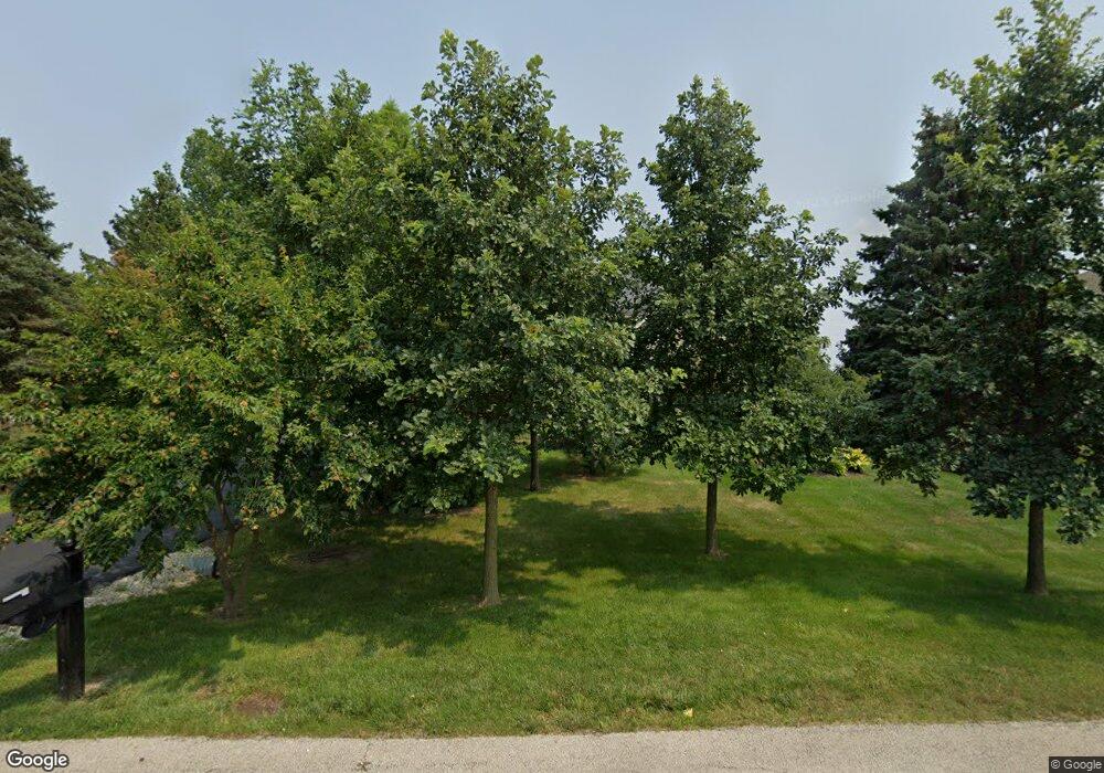
2 Red Hawk Dr Oswego, IL 60543
South Oswego NeighborhoodEstimated Value: $396,000 - $538,000
4
Beds
4
Baths
2,100
Sq Ft
$223/Sq Ft
Est. Value
About This Home
This home is located at 2 Red Hawk Dr, Oswego, IL 60543 and is currently estimated at $468,803, approximately $223 per square foot. 2 Red Hawk Dr is a home located in Kendall County with nearby schools including Grande Park Elementary School, Murphy Junior High School, and Oswego East High School.
Ownership History
Date
Name
Owned For
Owner Type
Purchase Details
Closed on
Apr 20, 2020
Sold by
Goodwin Kenneth
Bought by
Silva Kolani
Current Estimated Value
Home Financials for this Owner
Home Financials are based on the most recent Mortgage that was taken out on this home.
Original Mortgage
$228,403
Outstanding Balance
$203,094
Interest Rate
3.6%
Mortgage Type
New Conventional
Estimated Equity
$265,709
Purchase Details
Closed on
Jan 11, 2018
Sold by
Hamsmith Harry and Mary Goodwin Self Declaration
Bought by
Goodwin Kenneth
Purchase Details
Closed on
Apr 17, 2000
Sold by
Goodwin Mary
Bought by
Goodwin Mary and Mary Goodwin Self Declaration Of Trust
Purchase Details
Closed on
Sep 1, 1994
Bought by
Goodwin George B and Goodwin Mary
Purchase Details
Closed on
Jul 1, 1990
Bought by
Barthel Charles A
Create a Home Valuation Report for This Property
The Home Valuation Report is an in-depth analysis detailing your home's value as well as a comparison with similar homes in the area
Home Values in the Area
Average Home Value in this Area
Purchase History
| Date | Buyer | Sale Price | Title Company |
|---|---|---|---|
| Silva Kolani | $240,500 | Citywide Title Corporation | |
| Goodwin Kenneth | -- | Attorney | |
| Goodwin Mary | -- | -- | |
| Goodwin George B | $259,000 | -- | |
| Barthel Charles A | $196,500 | -- |
Source: Public Records
Mortgage History
| Date | Status | Borrower | Loan Amount |
|---|---|---|---|
| Open | Silva Kolani | $228,403 | |
| Closed | Barthel Charles A | -- |
Source: Public Records
Tax History
| Year | Tax Paid | Tax Assessment Tax Assessment Total Assessment is a certain percentage of the fair market value that is determined by local assessors to be the total taxable value of land and additions on the property. | Land | Improvement |
|---|---|---|---|---|
| 2024 | $10,311 | $136,258 | $32,596 | $103,662 |
| 2023 | $9,395 | $120,582 | $28,846 | $91,736 |
| 2022 | $9,395 | $111,650 | $26,709 | $84,941 |
| 2021 | $9,737 | $111,650 | $26,709 | $84,941 |
| 2020 | $10,089 | $108,398 | $25,931 | $82,467 |
| 2019 | $9,951 | $105,227 | $25,931 | $79,296 |
| 2018 | $10,065 | $102,861 | $25,348 | $77,513 |
| 2017 | $9,997 | $98,905 | $24,373 | $74,532 |
| 2016 | $9,840 | $96,024 | $23,663 | $72,361 |
| 2015 | $9,741 | $90,589 | $22,324 | $68,265 |
| 2014 | -- | $87,104 | $21,465 | $65,639 |
| 2013 | -- | $87,984 | $21,682 | $66,302 |
Source: Public Records
Map
Nearby Homes
- 870 Simons Rd
- 382 Hemlock Ln
- 13005 Timber Wood Cir
- 12811 Conifer St
- 13302 Rosewood Ln
- 15 Navajo Ct
- 748 Juniper St
- 2249 Riesling Rd
- 612 Murdock Place
- 2319 Hirsch Dr
- 6115 Rt 34
- 12922 Grande Poplar Cir
- 322 Monica Ln
- 230 Piper Glen Ave
- 315 Monica Ln
- 404 Tanya Ln
- 313 Monica Ln
- 26800 Basswood Cir
- 401 Tanya Ln
- 12814 Grande Pines Blvd
