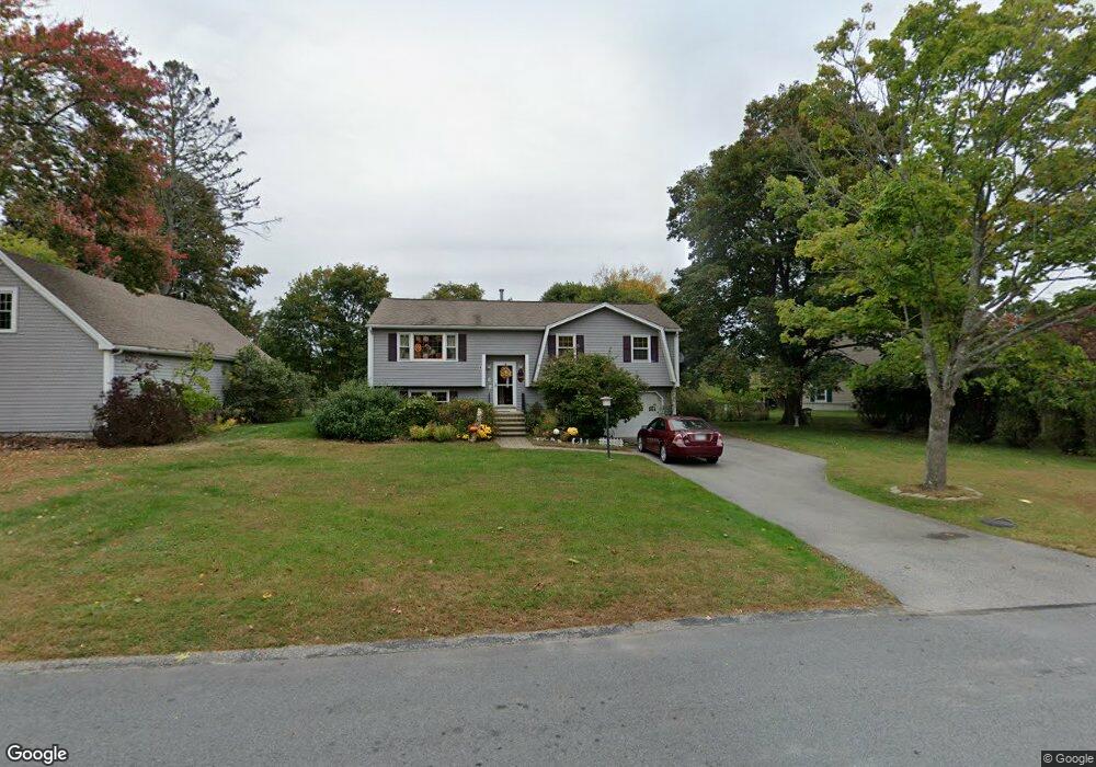
2 Rolling Ridge Ln Methuen, MA 01844
The North End NeighborhoodEstimated Value: $635,866 - $767,000
3
Beds
1
Bath
2,150
Sq Ft
$315/Sq Ft
Est. Value
About This Home
This home is located at 2 Rolling Ridge Ln, Methuen, MA 01844 and is currently estimated at $676,967, approximately $314 per square foot. 2 Rolling Ridge Ln is a home located in Essex County with nearby schools including Methuen High School and The Birches Academy of Academics and Art.
Ownership History
Date
Name
Owned For
Owner Type
Purchase Details
Closed on
Apr 4, 2018
Sold by
Sammons Josephine M
Bought by
Sammons Irt 2018 and Feil
Current Estimated Value
Purchase Details
Closed on
May 1, 1984
Bought by
Sammons Charles
Create a Home Valuation Report for This Property
The Home Valuation Report is an in-depth analysis detailing your home's value as well as a comparison with similar homes in the area
Home Values in the Area
Average Home Value in this Area
Purchase History
| Date | Buyer | Sale Price | Title Company |
|---|---|---|---|
| Sammons Irt 2018 | -- | -- | |
| Sammons Irt 2018 | -- | -- | |
| Sammons Irt 2018 | -- | -- | |
| Sammons Charles | $88,000 | -- |
Source: Public Records
Mortgage History
| Date | Status | Borrower | Loan Amount |
|---|---|---|---|
| Previous Owner | Sammons Charles | $109,000 | |
| Previous Owner | Sammons Charles | $150,000 | |
| Previous Owner | Sammons Charles | $50,000 |
Source: Public Records
Tax History Compared to Growth
Tax History
| Year | Tax Paid | Tax Assessment Tax Assessment Total Assessment is a certain percentage of the fair market value that is determined by local assessors to be the total taxable value of land and additions on the property. | Land | Improvement |
|---|---|---|---|---|
| 2025 | $6,004 | $567,500 | $257,000 | $310,500 |
| 2024 | $6,019 | $554,200 | $233,600 | $320,600 |
| 2023 | $5,706 | $487,700 | $208,600 | $279,100 |
| 2022 | $5,373 | $411,700 | $166,900 | $244,800 |
| 2021 | $5,094 | $386,200 | $158,500 | $227,700 |
| 2020 | $5,052 | $375,900 | $158,500 | $217,400 |
| 2019 | $4,975 | $350,600 | $150,200 | $200,400 |
| 2018 | $4,802 | $336,500 | $150,200 | $186,300 |
| 2017 | $4,619 | $315,300 | $150,200 | $165,100 |
| 2016 | $4,564 | $308,200 | $150,200 | $158,000 |
| 2015 | $4,447 | $304,600 | $150,200 | $154,400 |
Source: Public Records
Map
Nearby Homes
- 257 Howe St
- 12 Cameron Way
- 25 Thayer St
- Lot 2 Washington St
- 64-66 Howe St
- 45 Washington St Unit 55
- 10 Evelyn Rd
- 12 Stillwater Cir
- 2 Renaissance Cir
- 139 North St
- 50 Woburn St
- 46 Oneida St
- 122 Pleasant Valley St
- 47 Bailey Ct
- 17 Garrison Rd
- 687 Jackson St
- 48 Pond St
- 128 Pleasant Valley St
- 15 Linwood Ave
- 4 Mulberry Rd
- 4 Rolling Ridge Ln
- 297 Howe St
- 299 Howe St
- 291 Howe St
- 6 Rolling Ridge Ln
- 114 Rolling Ridge Ln
- 118 Rolling Ridge Ln
- 289 Howe St
- 9 Rolling Ridge Ln
- 284 Howe St
- 290 Howe St
- 10 Rolling Ridge Ln
- 110 Rolling Ridge Ln
- 280 Howe St
- 287 Howe St
- 13 Rolling Ridge Ln
- 1 Stoney Brook Rd
- 303 Howe St
- 106 Rolling Ridge Ln
- 14 Rolling Ridge Ln