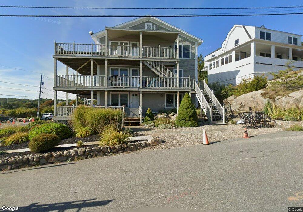
2 Salt Island Rd Unit 1 Gloucester, MA 01930
East Gloucester NeighborhoodEstimated Value: $740,000 - $1,152,000
2
Beds
2
Baths
1,376
Sq Ft
$743/Sq Ft
Est. Value
About This Home
This home is located at 2 Salt Island Rd Unit 1, Gloucester, MA 01930 and is currently estimated at $1,022,363, approximately $742 per square foot. 2 Salt Island Rd Unit 1 is a home located in Essex County with nearby schools including East Gloucester Elementary School, Ralph B O'maley Middle School, and Gloucester High School.
Ownership History
Date
Name
Owned For
Owner Type
Purchase Details
Closed on
Apr 11, 1990
Sold by
Two Salt Island Rd Rt
Bought by
Keenon Peter G
Current Estimated Value
Home Financials for this Owner
Home Financials are based on the most recent Mortgage that was taken out on this home.
Original Mortgage
$312,000
Interest Rate
10.13%
Mortgage Type
Purchase Money Mortgage
Create a Home Valuation Report for This Property
The Home Valuation Report is an in-depth analysis detailing your home's value as well as a comparison with similar homes in the area
Home Values in the Area
Average Home Value in this Area
Purchase History
| Date | Buyer | Sale Price | Title Company |
|---|---|---|---|
| Keenon Peter G | $390,000 | -- |
Source: Public Records
Mortgage History
| Date | Status | Borrower | Loan Amount |
|---|---|---|---|
| Closed | Keenon Peter G | $312,000 |
Source: Public Records
Tax History Compared to Growth
Tax History
| Year | Tax Paid | Tax Assessment Tax Assessment Total Assessment is a certain percentage of the fair market value that is determined by local assessors to be the total taxable value of land and additions on the property. | Land | Improvement |
|---|---|---|---|---|
| 2025 | $10,341 | $1,063,900 | $0 | $1,063,900 |
| 2024 | $9,693 | $996,200 | $0 | $996,200 |
| 2023 | $9,283 | $876,600 | $0 | $876,600 |
| 2022 | $9,883 | $842,500 | $0 | $842,500 |
| 2021 | $9,849 | $791,700 | $0 | $791,700 |
| 2020 | $9,762 | $791,700 | $0 | $791,700 |
| 2019 | $9,295 | $732,500 | $0 | $732,500 |
| 2018 | $8,759 | $677,400 | $0 | $677,400 |
| 2017 | $8,265 | $626,600 | $0 | $626,600 |
| 2016 | $7,837 | $575,800 | $0 | $575,800 |
| 2015 | $7,686 | $563,100 | $0 | $563,100 |
Source: Public Records
Map
Nearby Homes
- 26 Marina Dr
- 29 Harrison Ave
- 10 Amero Ct
- 20 Haskell St
- 9 Rocky Pasture Rd
- 86 E Main St
- 20 Calder St
- 97 E Main St
- 100 E Main St
- 33 Highview Rd
- 36 Links Rd
- 30 Chapel St Unit B
- 22 Taylor St Unit 1
- 197 E Main St
- 197 E Main St Unit 1
- 197 E Main St Unit 2
- 197 E Main St Unit 1 & 2
- 160 Prospect St Unit 3
- 4 Mount Vernon St
- 10 Seaview Rd
- 2 Salt Island Rd Unit 3
- 2 Salt Island Rd
- 2 Salt Island Rd Unit 2
- 2 Salt Island Road: Winter Unit 2
- 4 Salt Island Rd
- 0 Salt Island Rd Unit 72208602
- 1 Salt Island Rd
- 6 Salt Island Rd
- 4 Barberry Way
- 5 Salt Island Rd
- 88 Witham St
- 86 Witham St
- 7 Salt Island Rd
- 3 Barberry Way
- 8 Barberry Way
- 6 Salt Island Ln
- 5 Salt Island Ln
- 5 Barberry Way
- 8 Salt Island Rd
- 8 Salt Island Ln