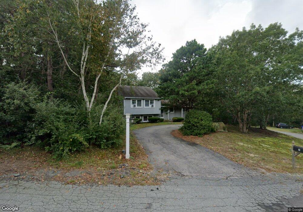
2 Silver Birch Ln Bourne, MA 02532
Estimated Value: $544,408 - $620,000
3
Beds
2
Baths
1,752
Sq Ft
$326/Sq Ft
Est. Value
About This Home
This home is located at 2 Silver Birch Ln, Bourne, MA 02532 and is currently estimated at $570,602, approximately $325 per square foot. 2 Silver Birch Ln is a home located in Barnstable County with nearby schools including Bourne High School, Cadence Academy Preschool - Bourne, and St Margaret Regional School.
Ownership History
Date
Name
Owned For
Owner Type
Purchase Details
Closed on
Jul 15, 2024
Sold by
Vahey Colleen M
Bought by
Lowe Sean and Strohm Kailee
Current Estimated Value
Home Financials for this Owner
Home Financials are based on the most recent Mortgage that was taken out on this home.
Original Mortgage
$490,943
Outstanding Balance
$483,191
Interest Rate
6.25%
Mortgage Type
FHA
Estimated Equity
$87,411
Purchase Details
Closed on
Jan 4, 2013
Sold by
Adams Barbara F
Bought by
Vahey Colleen M
Home Financials for this Owner
Home Financials are based on the most recent Mortgage that was taken out on this home.
Original Mortgage
$255,102
Interest Rate
3.35%
Mortgage Type
New Conventional
Purchase Details
Closed on
Dec 14, 2009
Sold by
Adams William S and Adams Barbara F
Bought by
Adams Barbara F
Create a Home Valuation Report for This Property
The Home Valuation Report is an in-depth analysis detailing your home's value as well as a comparison with similar homes in the area
Purchase History
| Date | Buyer | Sale Price | Title Company |
|---|---|---|---|
| Lowe Sean | $500,000 | None Available | |
| Lowe Sean | $500,000 | None Available | |
| Lowe Sean | $500,000 | None Available | |
| Vahey Colleen M | $250,000 | -- | |
| Adams Barbara F | -- | -- | |
| Vahey Colleen M | $250,000 | -- | |
| Adams Barbara F | -- | -- |
Source: Public Records
Mortgage History
| Date | Status | Borrower | Loan Amount |
|---|---|---|---|
| Open | Lowe Sean | $490,943 | |
| Closed | Lowe Sean | $490,943 | |
| Previous Owner | Adams Barbara F | $255,102 |
Source: Public Records
Tax History
| Year | Tax Paid | Tax Assessment Tax Assessment Total Assessment is a certain percentage of the fair market value that is determined by local assessors to be the total taxable value of land and additions on the property. | Land | Improvement |
|---|---|---|---|---|
| 2025 | $3,597 | $460,600 | $184,600 | $276,000 |
| 2024 | $3,518 | $438,600 | $175,800 | $262,800 |
| 2023 | $3,420 | $388,200 | $155,600 | $232,600 |
| 2022 | $3,386 | $335,600 | $137,700 | $197,900 |
| 2021 | $10,021 | $305,400 | $125,300 | $180,100 |
| 2020 | $3,014 | $295,300 | $124,100 | $171,200 |
| 2019 | $2,897 | $285,700 | $124,100 | $161,600 |
| 2018 | $2,868 | $272,100 | $118,200 | $153,900 |
| 2017 | $2,649 | $253,800 | $111,200 | $142,600 |
| 2016 | $2,548 | $250,800 | $111,200 | $139,600 |
| 2015 | $2,408 | $239,100 | $99,500 | $139,600 |
Source: Public Records
Map
Nearby Homes
- 20 Colony Ave
- 4 Harbor Hill Dr
- 16 Amberwood Ct
- 12 Turnberry Rd Unit 12
- 4 Hollyhock Knoll Ct Unit 4
- 4 Hollyhock Knoll Ct Unit 4
- 203 County Rd
- 2 Applewood Ct
- 5 Sea Knoll Ct
- 13 Laurel Hill Ct
- 566 Shore Rd
- 3 1st St
- 709 County Rd
- 7 4th Ave
- 3 4th Ave
- 5 Zoli Ln
- 254 Barlows Landing Rd
- 44 Cotuit Rd
- 16 Michael Rd
- 10 Sandy Ln
- 2 Silver Birch Ave
- 2 Silver Birch Ave
- 16 Colony Ave
- 4 Silver Birch Ave
- 4 Silver Birch Ln
- 16 Colony Ave
- 17 Colony Ave
- 19 Briggs Ave
- 17 Colony Ave
- 17 Colony Ave
- 19 Colony Ave
- 19 Colony Ave
- 6 Silver Birch Ave
- 3 Silver Birch Ave
- 15 Colony Ave
- 15 Colony Ave
- 5 Silver Birch Ln
- 17 Briggs Ave
- 21 Colony Ave
- 5 Silver Birch Ave
Your Personal Tour Guide
Ask me questions while you tour the home.