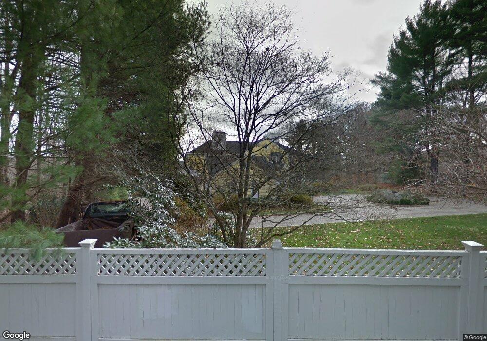
2 Snowflake Ln Westport, CT 06880
Coleytown NeighborhoodEstimated Value: $3,190,727 - $3,455,000
5
Beds
7
Baths
5,613
Sq Ft
$597/Sq Ft
Est. Value
About This Home
This home is located at 2 Snowflake Ln, Westport, CT 06880 and is currently estimated at $3,349,182, approximately $596 per square foot. 2 Snowflake Ln is a home located in Fairfield County with nearby schools including Coleytown Elementary School, Coleytown Middle School, and Staples High School.
Ownership History
Date
Name
Owned For
Owner Type
Purchase Details
Closed on
Apr 18, 2011
Sold by
Lipman Nathaniel J and Lipman Dana H
Bought by
Lublinsky Michael
Current Estimated Value
Purchase Details
Closed on
Jun 29, 1999
Sold by
Trupin Robert and Trupin Kathleen
Bought by
Lipman Nathaniel and Lipman D
Home Financials for this Owner
Home Financials are based on the most recent Mortgage that was taken out on this home.
Original Mortgage
$936,000
Interest Rate
7.09%
Purchase Details
Closed on
Jun 22, 1993
Sold by
Borchers John and Borchers Roberta
Bought by
Trupin Robert and Trupin Catharine
Create a Home Valuation Report for This Property
The Home Valuation Report is an in-depth analysis detailing your home's value as well as a comparison with similar homes in the area
Home Values in the Area
Average Home Value in this Area
Purchase History
| Date | Buyer | Sale Price | Title Company |
|---|---|---|---|
| Lublinsky Michael | $1,930,000 | -- | |
| Lublinsky Michael | $1,930,000 | -- | |
| Lipman Nathaniel | $1,560,000 | -- | |
| Lipman Nathaniel | $1,560,000 | -- | |
| Trupin Robert | $1,170,000 | -- | |
| Trupin Robert | $1,170,000 | -- |
Source: Public Records
Mortgage History
| Date | Status | Borrower | Loan Amount |
|---|---|---|---|
| Previous Owner | Trupin Robert | $656,000 | |
| Previous Owner | Trupin Robert | $936,000 |
Source: Public Records
Tax History Compared to Growth
Tax History
| Year | Tax Paid | Tax Assessment Tax Assessment Total Assessment is a certain percentage of the fair market value that is determined by local assessors to be the total taxable value of land and additions on the property. | Land | Improvement |
|---|---|---|---|---|
| 2025 | $24,382 | $1,292,800 | $625,200 | $667,600 |
| 2024 | $24,072 | $1,292,800 | $625,200 | $667,600 |
| 2023 | $23,723 | $1,292,800 | $625,200 | $667,600 |
| 2022 | $23,361 | $1,292,800 | $625,200 | $667,600 |
| 2021 | $23,361 | $1,292,800 | $625,200 | $667,600 |
| 2020 | $24,353 | $1,457,400 | $646,900 | $810,500 |
| 2019 | $24,572 | $1,457,400 | $646,900 | $810,500 |
| 2018 | $24,572 | $1,457,400 | $646,900 | $810,500 |
| 2017 | $24,572 | $1,457,400 | $646,900 | $810,500 |
| 2016 | $24,572 | $1,457,400 | $646,900 | $810,500 |
| 2015 | $25,422 | $1,405,300 | $756,100 | $649,200 |
| 2014 | $25,211 | $1,405,300 | $756,100 | $649,200 |
Source: Public Records
Map
Nearby Homes
- 9 Greenbrier Rd
- 14 Northfield Dr
- 31 Riverfield Dr
- 17 Huckleberry Ln
- 1 Greenlea Ln
- 56 Charcoal Hill Rd
- 31 White Birch Rd
- 4 Good Hill Rd
- 6 Nutcracker Ln
- 24 Warnock Dr
- 21 Warnock Dr
- 30 Cavalry Rd
- 26 Cob Dr
- 24 Tupelo Rd
- 136 Lyons Plain Rd
- 32 Kettle Creek Rd
- 87 Red Coat Rd
- 212 Fence Row Dr
- 40 Hermit Ln
- 18 Hunt Ln