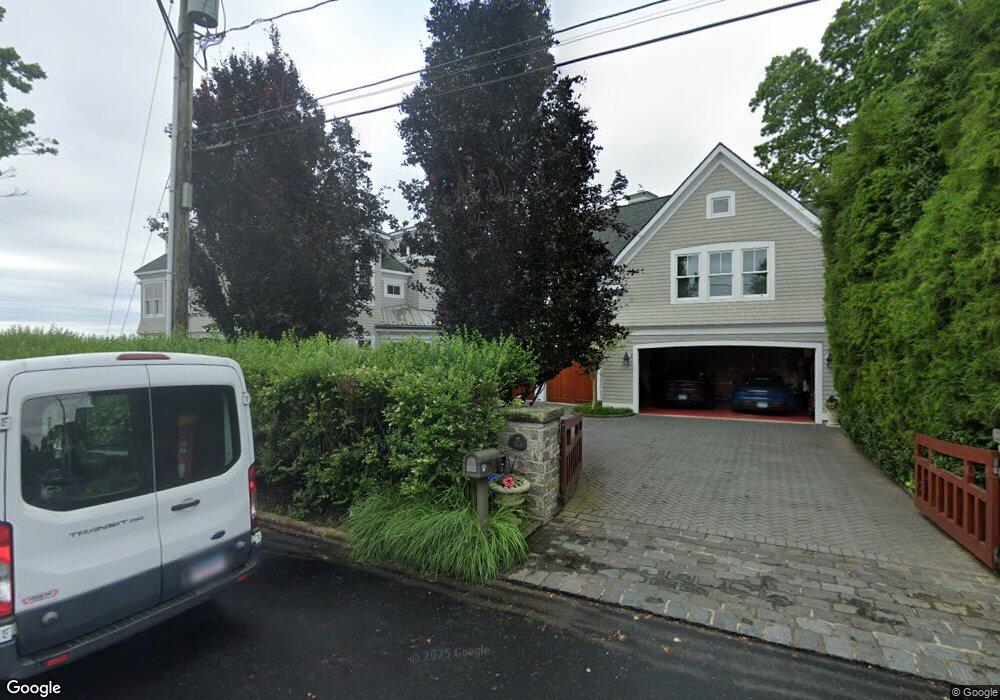
2 Spring Rock Rd Branford, CT 06405
Estimated Value: $2,067,000 - $4,049,741
4
Beds
9
Baths
7,945
Sq Ft
$365/Sq Ft
Est. Value
About This Home
This home is located at 2 Spring Rock Rd, Branford, CT 06405 and is currently estimated at $2,900,247, approximately $365 per square foot. 2 Spring Rock Rd is a home located in New Haven County with nearby schools including Francis Walsh Intermediate School, Branford High School, and East Shoreline Catholic Academy.
Ownership History
Date
Name
Owned For
Owner Type
Purchase Details
Closed on
Jun 14, 1999
Sold by
Est Millar G Robert and Besemer Deborah
Bought by
Scheer David I and Scheer Tracy Z
Current Estimated Value
Create a Home Valuation Report for This Property
The Home Valuation Report is an in-depth analysis detailing your home's value as well as a comparison with similar homes in the area
Home Values in the Area
Average Home Value in this Area
Purchase History
| Date | Buyer | Sale Price | Title Company |
|---|---|---|---|
| Scheer David I | $1,100,000 | -- |
Source: Public Records
Mortgage History
| Date | Status | Borrower | Loan Amount |
|---|---|---|---|
| Previous Owner | Scheer David I | $137,000 | |
| Previous Owner | Scheer David I | $40,000 |
Source: Public Records
Tax History
| Year | Tax Paid | Tax Assessment Tax Assessment Total Assessment is a certain percentage of the fair market value that is determined by local assessors to be the total taxable value of land and additions on the property. | Land | Improvement |
|---|---|---|---|---|
| 2025 | $69,636 | $3,254,000 | $1,262,800 | $1,991,200 |
| 2024 | $57,610 | $1,890,100 | $718,100 | $1,172,000 |
| 2023 | $56,495 | $1,890,100 | $718,100 | $1,172,000 |
| 2022 | $55,663 | $1,890,100 | $718,100 | $1,172,000 |
| 2021 | $55,663 | $1,890,100 | $718,100 | $1,172,000 |
| 2020 | $54,662 | $1,890,100 | $718,100 | $1,172,000 |
| 2019 | $50,041 | $1,721,400 | $695,000 | $1,026,400 |
| 2018 | $49,301 | $1,721,400 | $695,000 | $1,026,400 |
| 2017 | $49,008 | $1,721,400 | $695,000 | $1,026,400 |
| 2016 | $47,184 | $1,721,400 | $695,000 | $1,026,400 |
| 2015 | $46,357 | $1,721,400 | $695,000 | $1,026,400 |
| 2014 | $47,180 | $1,798,000 | $810,900 | $987,100 |
Source: Public Records
Map
Nearby Homes
- 29 Crescent Bluff Ave
- 9 4th Ave
- 10 Island View Ave
- 2 W Haycock Point Rd
- 33 Thimble Farms Rd
- 8 Gaylea Dr
- 82 Limewood Ave
- 86 Pine Orchard Rd
- 0 Belden Island Unit 24090225
- 0 Rogers Island
- 0 Rogers Island Unit 122749
- 137 S Montowese St
- 15 Griffing Pond Rd
- 121 Damascus Rd
- 7 Dogwood Ct
- 200 Damascus Rd
- 9 Patrick Ln
- 53 Montowese St
- 10 Montgomery Pkwy
- 12 Bowhay Hill Rd
- 6 Spring Rock Rd
- 12 Ozone Rd
- 10 Spring Rock Rd
- 15 Spring Rock Rd
- 14 Ozone Rd
- 14 Spring Rock Rd
- 6 Ozone Rd
- 18 Spring Rock Rd
- 18 Ozone Rd
- 22 Ozone Rd
- 22 Ozone Rd
- 2 Ozone Rd
- 2 Pasadena Rd
- 241 Pine Orchard Rd Unit B
- 20 Ozone Rd
- 23 Spring Rock Rd
- 23B Spring Rock Rd
- 15 Ozone Rd
- 6 Crescent Bluff Ave
- 24 Spring Rock Rd
Your Personal Tour Guide
Ask me questions while you tour the home.